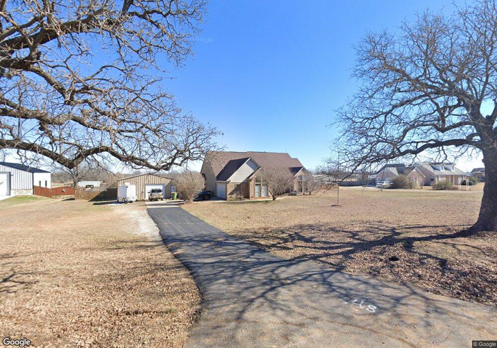
1701 Thomas Rd Springtown, TX 76082
Estimated Value: $412,000 - $451,000
3
Beds
2
Baths
1,929
Sq Ft
$226/Sq Ft
Est. Value
About This Home
This home is located at 1701 Thomas Rd, Springtown, TX 76082 and is currently estimated at $435,099, approximately $225 per square foot. 1701 Thomas Rd is a home located in Parker County with nearby schools including Springtown Elementary School, Springtown Intermediate School, and Springtown Middle School.
Ownership History
Date
Name
Owned For
Owner Type
Purchase Details
Closed on
Jun 16, 2010
Sold by
Hunt Jack D and Hunt Paula
Bought by
Heusser Michael A and Burns Heusser Gayla A
Current Estimated Value
Home Financials for this Owner
Home Financials are based on the most recent Mortgage that was taken out on this home.
Original Mortgage
$169,990
Outstanding Balance
$113,367
Interest Rate
4.87%
Mortgage Type
FHA
Estimated Equity
$321,732
Purchase Details
Closed on
Dec 12, 2002
Sold by
Fannie Mae Aka Federal Nat L M
Bought by
Heusser Michael A and Heusser Gayla
Purchase Details
Closed on
Aug 6, 2002
Sold by
Parnell Jack I
Bought by
Heusser Michael A and Heusser Gayla
Purchase Details
Closed on
Mar 27, 2001
Sold by
Hampton Terry G and Hampton Clint
Bought by
Heusser Michael A and Heusser Gayla
Create a Home Valuation Report for This Property
The Home Valuation Report is an in-depth analysis detailing your home's value as well as a comparison with similar homes in the area
Home Values in the Area
Average Home Value in this Area
Purchase History
| Date | Buyer | Sale Price | Title Company |
|---|---|---|---|
| Heusser Michael A | -- | Stnt | |
| Heusser Michael A | -- | -- | |
| Heusser Michael A | -- | -- | |
| Heusser Michael A | -- | -- |
Source: Public Records
Mortgage History
| Date | Status | Borrower | Loan Amount |
|---|---|---|---|
| Open | Heusser Michael A | $169,990 |
Source: Public Records
Tax History
| Year | Tax Paid | Tax Assessment Tax Assessment Total Assessment is a certain percentage of the fair market value that is determined by local assessors to be the total taxable value of land and additions on the property. | Land | Improvement |
|---|---|---|---|---|
| 2025 | $3,172 | $409,823 | $119,380 | $290,443 |
| 2024 | $3,172 | $330,880 | -- | -- |
| 2023 | $3,172 | $300,800 | $0 | $0 |
| 2022 | $4,876 | $273,460 | $70,000 | $203,460 |
| 2021 | $5,293 | $273,460 | $70,000 | $203,460 |
| 2020 | $4,851 | $256,500 | $50,000 | $206,500 |
| 2019 | $4,740 | $256,500 | $50,000 | $206,500 |
Source: Public Records
Map
Nearby Homes
- 1973 Johnnie Dr
- 121 Bluegrass Trail
- 1030 Alex Dr
- 1132 Dobbs Trail
- 808 Feather Edge Dr
- 111 Quail Dr
- 1600 Thomas Rd
- 150 Ash Creek Ct
- 100 Knob Ct
- 155 Cornerstone Ln
- 350 Summerfield Ct E
- 860 Mcvoid Rd
- 1110 Knob Rd
- 369 Declan St
- 829 Haley
- 381 Declan St
- 380 Declan St
- 977 Sam St
- 1556 Thomas Rd
- 376 Declan St
Your Personal Tour Guide
Ask me questions while you tour the home.