1701 Whitlock Ln Unit 13 Winder, GA 30680
Estimated Value: $378,335 - $410,000
4
Beds
3
Baths
2,070
Sq Ft
$191/Sq Ft
Est. Value
About This Home
This home is located at 1701 Whitlock Ln Unit 13, Winder, GA 30680 and is currently estimated at $395,584, approximately $191 per square foot. 1701 Whitlock Ln Unit 13 is a home located in Barrow County with nearby schools including Bethlehem Elementary School, Haymon-Morris Middle School, and Apalachee High School.
Ownership History
Date
Name
Owned For
Owner Type
Purchase Details
Closed on
Aug 9, 2019
Sold by
Sharp David L
Bought by
Sharp David L and Sharp Amanda M
Current Estimated Value
Purchase Details
Closed on
Nov 28, 2018
Sold by
Cp Investments Llc
Bought by
Dr Homes Llc
Purchase Details
Closed on
Jan 17, 2015
Sold by
Maverick Land Co Llc
Bought by
Cp Investments Llc
Purchase Details
Closed on
Dec 12, 2013
Sold by
Full Curl Llc
Bought by
Maverick Land Co Llc
Purchase Details
Closed on
Jul 12, 2013
Sold by
Community And Southern Ban
Bought by
Full Curl Llc
Purchase Details
Closed on
Nov 1, 2011
Sold by
Casta Development Inc
Bought by
Community & Southern Bank
Purchase Details
Closed on
Sep 29, 2005
Sold by
Childers Christopher T
Bought by
Casta Development Inc
Create a Home Valuation Report for This Property
The Home Valuation Report is an in-depth analysis detailing your home's value as well as a comparison with similar homes in the area
Home Values in the Area
Average Home Value in this Area
Purchase History
| Date | Buyer | Sale Price | Title Company |
|---|---|---|---|
| Sharp David L | -- | -- | |
| Sharp David L | $229,900 | -- | |
| Dr Homes Llc | $405,000 | -- | |
| Cp Investments Llc | -- | -- | |
| Maverick Land Co Llc | -- | -- | |
| Full Curl Llc | $160,000 | -- | |
| Community & Southern Bank | -- | -- | |
| Casta Development Inc | -- | -- |
Source: Public Records
Tax History
| Year | Tax Paid | Tax Assessment Tax Assessment Total Assessment is a certain percentage of the fair market value that is determined by local assessors to be the total taxable value of land and additions on the property. | Land | Improvement |
|---|---|---|---|---|
| 2025 | $3,174 | $135,974 | $24,000 | $111,974 |
| 2024 | $3,183 | $132,672 | $24,000 | $108,672 |
| 2023 | $2,847 | $133,272 | $24,000 | $109,272 |
| 2022 | $3,405 | $123,234 | $24,000 | $99,234 |
| 2021 | $3,032 | $100,621 | $16,000 | $84,621 |
| 2020 | $2,782 | $97,251 | $16,000 | $81,251 |
| 2019 | $583 | $18,000 | $16,000 | $2,000 |
| 2018 | $272 | $9,000 | $9,000 | $0 |
| 2017 | $262 | $9,000 | $9,000 | $0 |
| 2016 | $90 | $3,000 | $3,000 | $0 |
| 2015 | $91 | $3,000 | $3,000 | $0 |
| 2014 | $47 | $2,000 | $2,000 | $0 |
| 2013 | -- | $2,000 | $2,000 | $0 |
Source: Public Records
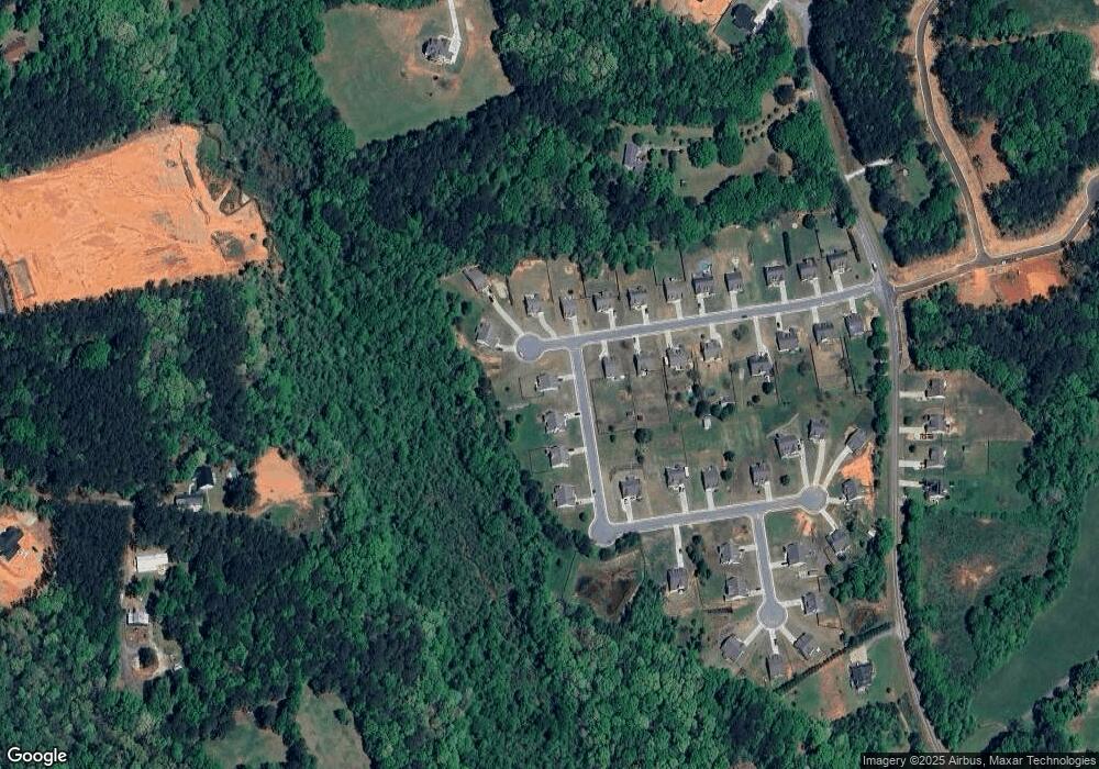
Map
Nearby Homes
- 142 Brockton Way Unit 9
- 159 Mockingbird Ln Unit 16
- 225 Mockingbird Ln Unit 18
- 271 Mockingbird Ln Unit 20
- 296 Westminster Trail
- 84 Martha Ann Ave
- 1015 Smith Chapel Rd
- 136 Bristol Blvd
- 1191 Dove Creek Rd
- 1119 Hummingbird Way
- LOT 3 Manning Gin Rd
- LOT 1 Manning Gin Rd
- LOT 2 Manning Gin Rd
- LOT 4 Manning Gin Rd
- LOT 5 Manning Gin Rd
- 101 Westminster Ct
- 1201 Dove Creek Cir
- 4021 Highland Park Way
- 258 Westminster Ct
- 264 Westminster Ct
- 1701 Whitlock Ln
- 1703 Whitlock Ln
- 1703 Whitlock Ln Unit 14
- 1705 Whitlock Ln Unit 15
- 1862 Court-Bre Dr
- 1862 Court-Bre Dr Unit 12
- 1862 Court Bre Dr Unit 12
- 1862 Court Bre Dr
- 1859 Court-Bre Dr
- 1859 Court-Bre Dr Unit 10
- 1857 Court-Bre Dr
- 1857 Court-Bre Dr Unit 9
- 1861 Court-Bre Dr
- 1861 Court-Bre Dr Unit 11
- 1861 Court Bre Dr Unit 11
- 1861 Court Bre Dr
- 1861 Court Bre Dr
- 1852 Court Bre Dr
- 1852 Court Bre Dr Unit 35
- 1854 Court-Bre Dr
Your Personal Tour Guide
Ask me questions while you tour the home.