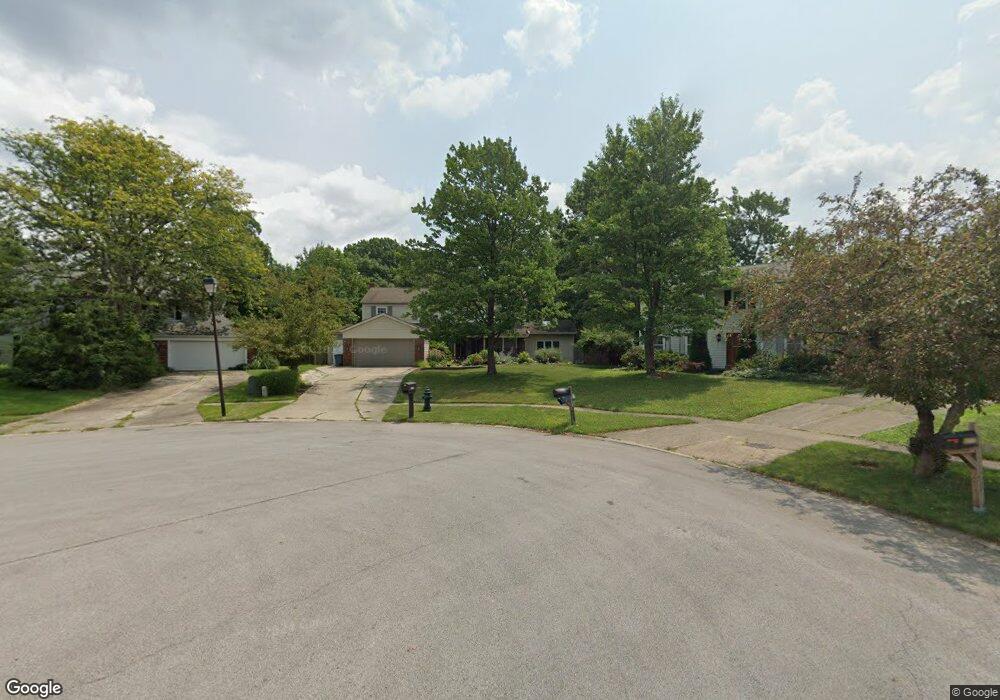
17010 Beaver Cir Strongsville, OH 44136
Estimated Value: $389,298 - $462,000
4
Beds
3
Baths
2,768
Sq Ft
$151/Sq Ft
Est. Value
About This Home
This home is located at 17010 Beaver Cir, Strongsville, OH 44136 and is currently estimated at $419,325, approximately $151 per square foot. 17010 Beaver Cir is a home located in Cuyahoga County with nearby schools including Strongsville High School and Sts Joseph & John Interparochial School.
Ownership History
Date
Name
Owned For
Owner Type
Purchase Details
Closed on
Sep 12, 2003
Sold by
Drdek Veronica A
Bought by
Godenswager Matthew J and Godenswager Nikole R
Current Estimated Value
Home Financials for this Owner
Home Financials are based on the most recent Mortgage that was taken out on this home.
Original Mortgage
$220,000
Interest Rate
6.44%
Mortgage Type
Purchase Money Mortgage
Purchase Details
Closed on
Sep 16, 1999
Sold by
Dredek Gary M
Bought by
Drdek Veronica A
Purchase Details
Closed on
Apr 1, 1986
Sold by
Cho Young Chung
Bought by
Dredek Gary M
Purchase Details
Closed on
Apr 24, 1979
Sold by
Ashworth Robert A and Ashworth Sharon K
Bought by
Cho Young Chung
Purchase Details
Closed on
Jul 9, 1975
Bought by
Ashworth Robert A and Ashworth Sharon K
Purchase Details
Closed on
Jan 1, 1975
Bought by
Parkview Corp
Create a Home Valuation Report for This Property
The Home Valuation Report is an in-depth analysis detailing your home's value as well as a comparison with similar homes in the area
Home Values in the Area
Average Home Value in this Area
Purchase History
| Date | Buyer | Sale Price | Title Company |
|---|---|---|---|
| Godenswager Matthew J | $220,000 | Providence Title Agency Inc | |
| Drdek Veronica A | -- | -- | |
| Dredek Gary M | $94,900 | -- | |
| Cho Young Chung | $92,000 | -- | |
| Ashworth Robert A | $63,100 | -- | |
| Parkview Corp | -- | -- |
Source: Public Records
Mortgage History
| Date | Status | Borrower | Loan Amount |
|---|---|---|---|
| Previous Owner | Godenswager Matthew J | $220,000 |
Source: Public Records
Tax History Compared to Growth
Tax History
| Year | Tax Paid | Tax Assessment Tax Assessment Total Assessment is a certain percentage of the fair market value that is determined by local assessors to be the total taxable value of land and additions on the property. | Land | Improvement |
|---|---|---|---|---|
| 2024 | $5,196 | $110,670 | $14,980 | $95,690 |
| 2023 | $5,247 | $83,800 | $12,430 | $71,370 |
| 2022 | $5,209 | $239,400 | $35,500 | $203,900 |
| 2021 | $5,168 | $83,790 | $12,430 | $71,370 |
| 2020 | $4,788 | $68,670 | $10,190 | $58,490 |
| 2019 | $4,647 | $196,200 | $29,100 | $167,100 |
| 2018 | $4,254 | $68,670 | $10,190 | $58,490 |
| 2017 | $4,370 | $65,880 | $8,230 | $57,650 |
| 2016 | $4,335 | $65,880 | $8,230 | $57,650 |
| 2015 | $4,396 | $65,880 | $8,230 | $57,650 |
| 2014 | $4,396 | $65,880 | $8,230 | $57,650 |
Source: Public Records
Map
Nearby Homes
- 17069 Partridge Dr
- 16650 Lanier Ave
- 17024 Bear Creek Ln
- 17159 Turkey Meadow Ln
- 18162 Fawn Cir
- 17682 Drake Rd
- 16450 Howe Rd
- 18294 Drake Rd
- 15639 Indianhead Ln
- 18630 Shurmer Rd
- 16486 S Red Rock Dr
- 17934 Cambridge Oval
- 17130 Golden Star Dr
- 14826 Lenox Dr
- 19311 Bradford Ct
- 14703 Lenox Dr Unit 103
- 19297 Lauren Way
- 18411 Yorktown Oval
- 17259 Woodshire Dr
- 18229 Howe Rd
- 17014 Beaver Cir
- 17006 Beaver Cir
- 16461 Hampton Chase
- 17020 Beaver Cir
- 17001 Lanier Ave
- 17026 Beaver Cir
- 16999 Lanier Ave
- 17005 Beaver Cir
- 16493 Hampton Chase
- 17023 Lanier Ave
- 16993 Lanier Ave
- 17015 Beaver Cir
- 17032 Beaver Cir
- 17029 Lanier Ave
- 17021 Beaver Cir
- 16476 Hampton Chase
- 16525 Hampton Chase
- 16989 Lanier Ave
- 17035 Lanier Ave
- 17027 Beaver Cir