17012 Barton Rd Fredericktown, OH 43019
Estimated Value: $258,000 - $316,000
3
Beds
4
Baths
1,702
Sq Ft
$163/Sq Ft
Est. Value
About This Home
This home is located at 17012 Barton Rd, Fredericktown, OH 43019 and is currently estimated at $277,490, approximately $163 per square foot. 17012 Barton Rd is a home located in Knox County with nearby schools including Mount Vernon High School.
Ownership History
Date
Name
Owned For
Owner Type
Purchase Details
Closed on
Dec 11, 2018
Bought by
Hildebrand Cloyd A
Current Estimated Value
Home Financials for this Owner
Home Financials are based on the most recent Mortgage that was taken out on this home.
Original Mortgage
$150,000
Outstanding Balance
$132,020
Interest Rate
4.75%
Estimated Equity
$145,470
Purchase Details
Closed on
Feb 5, 2016
Sold by
Burson Terry L and Burson Linda K
Bought by
Hildebrand Hal D and Hildebrand Margie J
Home Financials for this Owner
Home Financials are based on the most recent Mortgage that was taken out on this home.
Original Mortgage
$130,500
Interest Rate
3.97%
Mortgage Type
New Conventional
Purchase Details
Closed on
Jan 1, 1987
Bought by
Burson Terry L and Burson Linda K
Create a Home Valuation Report for This Property
The Home Valuation Report is an in-depth analysis detailing your home's value as well as a comparison with similar homes in the area
Purchase History
| Date | Buyer | Sale Price | Title Company |
|---|---|---|---|
| Hildebrand Cloyd A | -- | -- | |
| Hildebrand Hal D | $145,000 | None Available | |
| Burson Terry L | -- | -- |
Source: Public Records
Mortgage History
| Date | Status | Borrower | Loan Amount |
|---|---|---|---|
| Open | Hildebrand Cloyd A | $150,000 | |
| Closed | Hildebrand Cloyd A | -- | |
| Previous Owner | Hildebrand Hal D | $130,500 |
Source: Public Records
Tax History
| Year | Tax Paid | Tax Assessment Tax Assessment Total Assessment is a certain percentage of the fair market value that is determined by local assessors to be the total taxable value of land and additions on the property. | Land | Improvement |
|---|---|---|---|---|
| 2024 | $2,444 | $58,500 | $18,760 | $39,740 |
| 2023 | $2,495 | $58,500 | $18,760 | $39,740 |
| 2022 | $1,868 | $40,350 | $12,940 | $27,410 |
| 2021 | $1,868 | $40,350 | $12,940 | $27,410 |
| 2020 | $1,823 | $40,350 | $12,940 | $27,410 |
| 2019 | $2,316 | $47,660 | $14,360 | $33,300 |
| 2018 | $2,317 | $47,660 | $14,360 | $33,300 |
| 2017 | $2,280 | $47,660 | $14,360 | $33,300 |
| 2016 | $2,125 | $44,140 | $13,300 | $30,840 |
| 2015 | $2,133 | $44,140 | $13,300 | $30,840 |
| 2014 | $2,143 | $44,140 | $13,300 | $30,840 |
| 2013 | $2,100 | $41,980 | $10,790 | $31,190 |
Source: Public Records
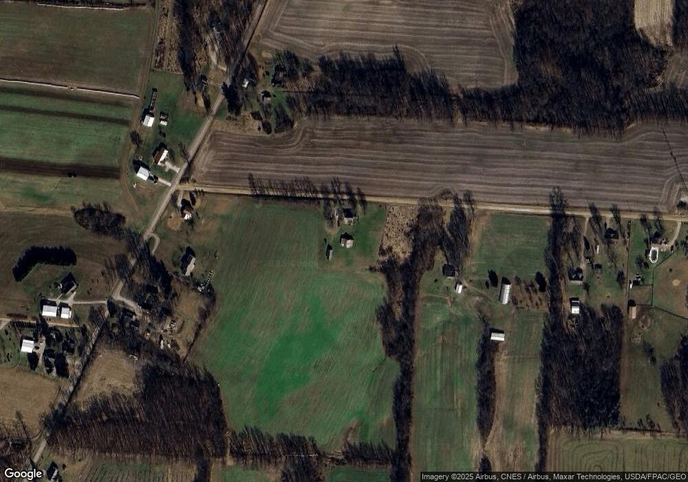
Map
Nearby Homes
- 15745 Lower Fredericktown Amity Rd
- 14499 Wooster Rd
- 17921 E Shady Ln
- 14281 N Liberty Rd
- 13999 Wooster Rd
- 15700 Sherri Rd
- 15700 Sherri Dr
- 0 Crooked St
- 0 Divelbiss Rd
- 14293 Gilchrist Rd
- 0 Crooked Street Land Split 2
- 1737 Vernonview Dr
- 13270 Rolling Hills Ct
- 16481 Wooster Rd
- 12627 Upper Gilchrist Rd
- 13399 Old Mansfield Rd
- 14835 Indian Hills Rd
- 0 Indian Hills Rd
- 16511 Gilchrist Rd
- 19 Avalon Rd
- 17100 Barton Rd
- 15990 N Liberty Rd
- 15956 North Liberty Rd
- 16075 N Liberty Rd
- 15991 N Liberty Rd
- 15918 North Liberty Rd
- 15918 N Liberty Rd
- 17210 Barton Rd
- 15900 North Liberty Rd
- 15900 North Liberty Rd
- 34 Acres N Liberty Rd
- 3.136 Acres N Liberty Rd
- 16840 N Liberty Rd
- 17238 Barton Rd
- 17268 Barton Rd
- 15903 North Liberty Rd
- 15851 North Liberty Rd
- 16199 N Liberty Rd
- 15750 N Liberty Rd
- 15750 North Liberty Rd
Your Personal Tour Guide
Ask me questions while you tour the home.