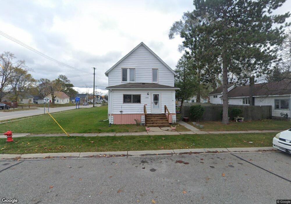
1702 17th St Port Huron, MI 48060
Estimated Value: $106,000 - $138,000
3
Beds
2
Baths
1,142
Sq Ft
$104/Sq Ft
Est. Value
About This Home
This home is located at 1702 17th St, Port Huron, MI 48060 and is currently estimated at $118,650, approximately $103 per square foot. 1702 17th St is a home located in St. Clair County with nearby schools including Michigamme Elementary School, Central Middle School, and Port Huron High School.
Ownership History
Date
Name
Owned For
Owner Type
Purchase Details
Closed on
Jun 30, 2016
Sold by
Barcume John and Barcume Barbara
Bought by
Ware Cheryl
Current Estimated Value
Purchase Details
Closed on
Apr 18, 2010
Sold by
Barcome John
Bought by
Ware Cheryl
Home Financials for this Owner
Home Financials are based on the most recent Mortgage that was taken out on this home.
Original Mortgage
$21,300
Interest Rate
12%
Mortgage Type
Seller Take Back
Purchase Details
Closed on
Oct 21, 2005
Sold by
Woolman Deborah B and Torrey Deborah A
Bought by
Torrey Deborah A and Torrey Brian D
Create a Home Valuation Report for This Property
The Home Valuation Report is an in-depth analysis detailing your home's value as well as a comparison with similar homes in the area
Home Values in the Area
Average Home Value in this Area
Purchase History
| Date | Buyer | Sale Price | Title Company |
|---|---|---|---|
| Ware Cheryl | $20,000 | None Available | |
| Ware Cheryl | $21,400 | Philip F Greco Title Company | |
| Torrey Deborah A | -- | None Available |
Source: Public Records
Mortgage History
| Date | Status | Borrower | Loan Amount |
|---|---|---|---|
| Previous Owner | Ware Cheryl | $21,300 |
Source: Public Records
Tax History Compared to Growth
Tax History
| Year | Tax Paid | Tax Assessment Tax Assessment Total Assessment is a certain percentage of the fair market value that is determined by local assessors to be the total taxable value of land and additions on the property. | Land | Improvement |
|---|---|---|---|---|
| 2025 | $919 | $40,300 | $0 | $0 |
| 2024 | $709 | $37,900 | $0 | $0 |
| 2023 | $670 | $33,800 | $0 | $0 |
| 2022 | $618 | $27,000 | $0 | $0 |
| 2021 | $587 | $23,100 | $0 | $0 |
| 2020 | $594 | $20,400 | $20,400 | $0 |
| 2019 | $584 | $14,100 | $0 | $0 |
| 2018 | $571 | $14,100 | $0 | $0 |
| 2016 | $423 | $11,800 | $0 | $0 |
| 2015 | $427 | $11,800 | $11,800 | $0 |
| 2014 | $427 | $11,900 | $11,900 | $0 |
| 2013 | -- | $11,900 | $0 | $0 |
Source: Public Records
Map
Nearby Homes