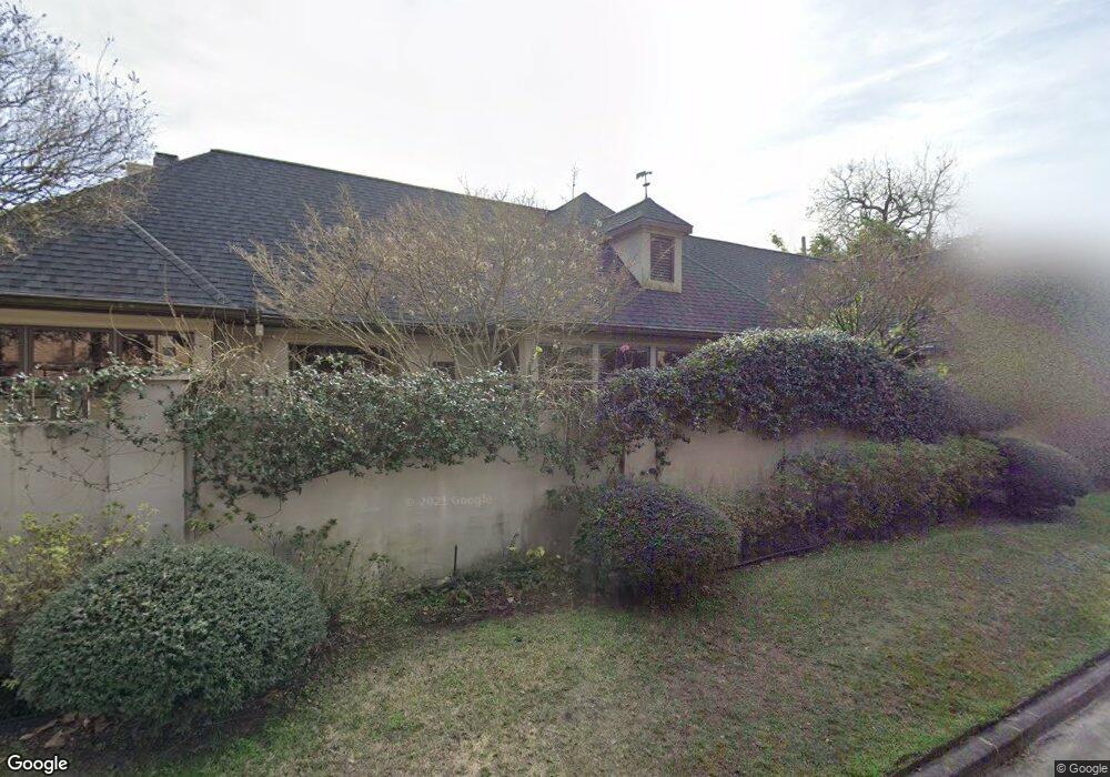
1702 Brun St Houston, TX 77019
Montrose NeighborhoodEstimated Value: $807,000 - $1,050,000
3
Beds
3
Baths
2,762
Sq Ft
$347/Sq Ft
Est. Value
About This Home
This home is located at 1702 Brun St, Houston, TX 77019 and is currently estimated at $959,556, approximately $347 per square foot. 1702 Brun St is a home located in Harris County with nearby schools including Baker Montessori, Lanier Middle School, and Lamar High School.
Ownership History
Date
Name
Owned For
Owner Type
Purchase Details
Closed on
May 12, 1998
Sold by
Patterson Billy D
Bought by
Phelan John H and Phelan Wynne
Current Estimated Value
Home Financials for this Owner
Home Financials are based on the most recent Mortgage that was taken out on this home.
Original Mortgage
$227,000
Outstanding Balance
$44,664
Interest Rate
7.18%
Estimated Equity
$914,892
Create a Home Valuation Report for This Property
The Home Valuation Report is an in-depth analysis detailing your home's value as well as a comparison with similar homes in the area
Home Values in the Area
Average Home Value in this Area
Purchase History
| Date | Buyer | Sale Price | Title Company |
|---|---|---|---|
| Phelan John H | -- | Stewart Title Company |
Source: Public Records
Mortgage History
| Date | Status | Borrower | Loan Amount |
|---|---|---|---|
| Open | Phelan John H | $227,000 |
Source: Public Records
Tax History Compared to Growth
Tax History
| Year | Tax Paid | Tax Assessment Tax Assessment Total Assessment is a certain percentage of the fair market value that is determined by local assessors to be the total taxable value of land and additions on the property. | Land | Improvement |
|---|---|---|---|---|
| 2025 | $7,258 | $899,850 | $669,875 | $229,975 |
| 2024 | $7,258 | $963,165 | $669,875 | $293,290 |
| 2023 | $7,258 | $963,523 | $669,875 | $293,648 |
| 2022 | $19,046 | $865,000 | $589,490 | $275,510 |
| 2021 | $19,414 | $833,000 | $509,105 | $323,895 |
| 2020 | $19,615 | $810,000 | $492,053 | $317,947 |
| 2019 | $19,535 | $781,182 | $492,053 | $289,129 |
| 2018 | $9,336 | $782,198 | $362,565 | $419,633 |
| 2017 | $16,930 | $638,000 | $284,873 | $353,127 |
| 2016 | $17,381 | $655,000 | $284,873 | $370,127 |
| 2015 | $9,265 | $692,420 | $284,873 | $407,547 |
| 2014 | $9,265 | $690,000 | $284,873 | $405,127 |
Source: Public Records
Map
Nearby Homes
- 1711 Huldy St Unit A
- 1712 Mcduffie St
- 1601 S Shepherd Dr Unit 20
- 1601 S Shepherd Dr Unit 29
- 1601 S Shepherd Dr Unit 138
- 1606 Hazard St
- 1509 Mcduffie St
- 1810 Hazard St Unit A
- 2105 Del Monte Dr
- 1909 Brun St Unit 17
- 1909 Brun St Unit 16
- 1910 Huldy St Unit A
- 2026 Welch St
- 1904 Hazard St
- 2100 Welch St Unit C113
- 2100 Welch St Unit C101
- 1956 Vermont St
- 1510 Morse St
- 2008 Hazard St
- 1822 Morse St Unit A
- 1710 Brun St Unit 7
- 1710 Brun St Unit 3
- 1710 Brun St Unit 6
- 1710 Brun St Unit 1
- 1710 Brun St Unit 2
- 1710 Brun St Unit 10
- 1710 Brun St Unit 9
- 1710 Brun St Unit 8
- 1710 Brun St Unit 5
- 1710 Brun St Unit 4
- 1701 Huldy St
- 1705 Huldy St
- 1714 Brun St
- 1714 Brun St
- 1714 Brun St
- 1714 Brun St
- 1714 Brun St
- 1714 Brun St
- 1714 Brun St
- 1714 Brun St Unit 2