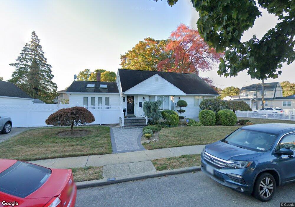
1702 Carroll Ave Merrick, NY 11566
Estimated Value: $762,000 - $797,137
3
Beds
2
Baths
1,722
Sq Ft
$453/Sq Ft
Est. Value
About This Home
This home is located at 1702 Carroll Ave, Merrick, NY 11566 and is currently estimated at $779,569, approximately $452 per square foot. 1702 Carroll Ave is a home located in Nassau County with nearby schools including Merrick Avenue Middle School, Sanford H Calhoun High School, and Grace Christian Academy.
Ownership History
Date
Name
Owned For
Owner Type
Purchase Details
Closed on
Aug 29, 2023
Sold by
Lombardo Anita and Estate Of Anthony Lombardo
Bought by
Drogan Dana
Current Estimated Value
Purchase Details
Closed on
Jun 2, 2017
Sold by
Renda Salvatore and Renda Angela
Bought by
Lombardo Anthony and Drogan Thomas J
Home Financials for this Owner
Home Financials are based on the most recent Mortgage that was taken out on this home.
Original Mortgage
$447,801
Interest Rate
4.37%
Mortgage Type
FHA
Create a Home Valuation Report for This Property
The Home Valuation Report is an in-depth analysis detailing your home's value as well as a comparison with similar homes in the area
Home Values in the Area
Average Home Value in this Area
Purchase History
| Date | Buyer | Sale Price | Title Company |
|---|---|---|---|
| Drogan Dana | -- | None Available | |
| Drogan Dana | -- | None Available | |
| Lombardo Anthony | $489,000 | None Available | |
| Lombardo Anthony | $489,000 | None Available | |
| Lombardo Anthony | $489,000 | None Available |
Source: Public Records
Mortgage History
| Date | Status | Borrower | Loan Amount |
|---|---|---|---|
| Previous Owner | Lombardo Anthony | $447,801 |
Source: Public Records
Tax History Compared to Growth
Tax History
| Year | Tax Paid | Tax Assessment Tax Assessment Total Assessment is a certain percentage of the fair market value that is determined by local assessors to be the total taxable value of land and additions on the property. | Land | Improvement |
|---|---|---|---|---|
| 2025 | $14,393 | $497 | $186 | $311 |
| 2024 | $3,699 | $492 | $184 | $308 |
| 2023 | $13,820 | $518 | $194 | $324 |
| 2022 | $13,820 | $518 | $194 | $324 |
| 2021 | $18,780 | $491 | $184 | $307 |
| 2020 | $13,326 | $727 | $530 | $197 |
| 2019 | $13,531 | $727 | $498 | $229 |
| 2018 | $12,746 | $774 | $0 | $0 |
| 2017 | $5,654 | $774 | $473 | $301 |
| 2016 | $9,117 | $868 | $530 | $338 |
| 2015 | $3,377 | $868 | $530 | $338 |
| 2014 | $3,377 | $868 | $530 | $338 |
| 2013 | $3,141 | $868 | $530 | $338 |
Source: Public Records
Map
Nearby Homes
- 1938 Meadowbrook Rd
- 1707 Carroll Ave
- 1729 Gormley Ave
- 1824 Gildersleeve St
- 1818 Gormley Ave
- 1772 Rose St
- 49 Elizabeth St
- 451 Babylon Turnpike
- 78 Jesse St
- 96 Thelma Ave
- 1922 Horatio Ave
- 251 Grand Ave
- 1800 Remson Ave
- 33 Willow Ave
- 221 E Dean St
- 1910 Adair Place
- 25 Babylon Turnpike
- 238 Babylon Turnpike
- 1741 Pettit Ave
- 1931 Miller Place
- 1716 Carroll Ave
- 1945 Meadowbrook Rd
- 1929 Meadowbrook Rd
- 1736 Carroll Ave
- 1730 Carroll Ave
- 1720 Carroll Ave
- 1713 Carroll Ave
- 112 Meadowbrook Rd
- 1946 Meadowbrook Rd
- 115 Meadowbrook Rd
- 1921 Meadowbrook Rd
- 1719 Gormley Ave
- 1717 Carroll Ave Unit 17
- 7 Carroll Ave
- 1723 Gormley Ave
- 123 Meadowbrook Rd
- 1733 Carroll Ave
- 1708 Frederick Ave
- 1698 Reid Ave
- 1702 Frederick Ave