1702 Dorset Dr Unit 1702 Tarrytown, NY 10591
Estimated Value: $696,360 - $794,000
3
Beds
2
Baths
1,705
Sq Ft
$448/Sq Ft
Est. Value
About This Home
This home is located at 1702 Dorset Dr Unit 1702, Tarrytown, NY 10591 and is currently estimated at $763,840, approximately $448 per square foot. 1702 Dorset Dr Unit 1702 is a home located in Westchester County with nearby schools including Carl L. Dixson Elementary School, Alice E. Grady Elementary School, and Alexander Hamilton High School.
Ownership History
Date
Name
Owned For
Owner Type
Purchase Details
Closed on
Jul 19, 2013
Sold by
Bucci Felice E and Bucci Isabella
Bought by
Bucci Felice E and Bucci Isabella
Current Estimated Value
Purchase Details
Closed on
May 30, 2003
Sold by
Finch Steven A and Forgacs Lillian P
Bought by
Bucci Felice E and Bucci Isabella
Home Financials for this Owner
Home Financials are based on the most recent Mortgage that was taken out on this home.
Original Mortgage
$85,000
Interest Rate
5.27%
Mortgage Type
Purchase Money Mortgage
Create a Home Valuation Report for This Property
The Home Valuation Report is an in-depth analysis detailing your home's value as well as a comparison with similar homes in the area
Home Values in the Area
Average Home Value in this Area
Purchase History
| Date | Buyer | Sale Price | Title Company |
|---|---|---|---|
| Bucci Felice E | -- | None Available | |
| Bucci Felice E | $465,000 | -- |
Source: Public Records
Mortgage History
| Date | Status | Borrower | Loan Amount |
|---|---|---|---|
| Previous Owner | Bucci Felice E | $85,000 |
Source: Public Records
Tax History Compared to Growth
Tax History
| Year | Tax Paid | Tax Assessment Tax Assessment Total Assessment is a certain percentage of the fair market value that is determined by local assessors to be the total taxable value of land and additions on the property. | Land | Improvement |
|---|---|---|---|---|
| 2024 | $12,712 | $621,200 | $161,500 | $459,700 |
| 2023 | $12,774 | $611,800 | $185,700 | $426,100 |
| 2022 | $17,372 | $629,500 | $185,700 | $443,800 |
| 2021 | $13,394 | $577,500 | $185,700 | $391,800 |
| 2020 | $13,544 | $540,000 | $168,200 | $371,800 |
| 2019 | $17,230 | $554,600 | $172,700 | $381,900 |
| 2018 | $14,243 | $534,800 | $172,700 | $362,100 |
| 2017 | $5,640 | $532,400 | $185,700 | $346,700 |
| 2016 | $318,663 | $511,900 | $185,700 | $326,200 |
| 2015 | -- | $13,450 | $1,700 | $11,750 |
| 2014 | -- | $13,450 | $1,700 | $11,750 |
| 2013 | $9,833 | $13,450 | $1,700 | $11,750 |
Source: Public Records
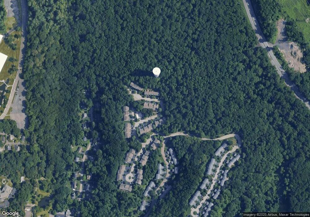
Map
Nearby Homes
- 2104 Watch Hill Dr
- 46 Trailhead Ln
- 25 Glen Hill Ln Unit 25
- 443 Benedict Ave
- 560 Taxter Rd
- 410 Benedict Ave Unit 5E
- 412 Benedict Ave Unit 5H
- 2 Nob Hill Dr
- 10 Nob Hill Dr
- 151 N Evarts Ave
- 151 N Evarts Ave Unit 2
- 300 Sheldon Ave
- 140 Winthrop Ave
- 9 S Lawn Ave
- 98 N Evarts Ave
- 20 S Stone Ave
- 166 Sears Ave
- North S Lawn Ave
- 497 Martling Ave
- 73 Sears Ave