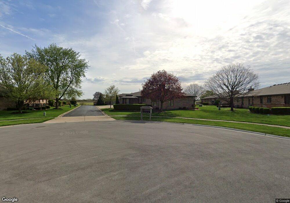
1702 Foxwood Dr Unit 62B New Lenox, IL 60451
Estimated Value: $360,000 - $386,000
--
Bed
--
Bath
--
Sq Ft
0.75
Acres
About This Home
This home is located at 1702 Foxwood Dr Unit 62B, New Lenox, IL 60451 and is currently estimated at $372,906. 1702 Foxwood Dr Unit 62B is a home located in Will County with nearby schools including Nelson Prairie School, Lincoln Way West, and St. Jude School.
Ownership History
Date
Name
Owned For
Owner Type
Purchase Details
Closed on
Jan 30, 2024
Sold by
Charles G Pease Trust
Bought by
Frances Kieper Pease Trust and Pease
Current Estimated Value
Purchase Details
Closed on
Oct 29, 2002
Sold by
Pease Charles G
Bought by
Pease Charles G and The Charles G Pease Trust #1
Purchase Details
Closed on
Oct 20, 1995
Sold by
Nunn Michael A and Nunn Judith G
Bought by
Pease Charles G
Home Financials for this Owner
Home Financials are based on the most recent Mortgage that was taken out on this home.
Original Mortgage
$85,000
Interest Rate
7.65%
Create a Home Valuation Report for This Property
The Home Valuation Report is an in-depth analysis detailing your home's value as well as a comparison with similar homes in the area
Home Values in the Area
Average Home Value in this Area
Purchase History
| Date | Buyer | Sale Price | Title Company |
|---|---|---|---|
| Frances Kieper Pease Trust | -- | None Listed On Document | |
| Pease Charles G | -- | -- | |
| Pease Charles G | $155,000 | -- |
Source: Public Records
Mortgage History
| Date | Status | Borrower | Loan Amount |
|---|---|---|---|
| Previous Owner | Pease Charles G | $85,000 |
Source: Public Records
Tax History Compared to Growth
Tax History
| Year | Tax Paid | Tax Assessment Tax Assessment Total Assessment is a certain percentage of the fair market value that is determined by local assessors to be the total taxable value of land and additions on the property. | Land | Improvement |
|---|---|---|---|---|
| 2024 | $6,672 | $98,222 | $12,998 | $85,224 |
| 2023 | $6,672 | $89,537 | $11,849 | $77,688 |
| 2022 | $6,185 | $82,485 | $10,916 | $71,569 |
| 2021 | $5,835 | $77,574 | $10,266 | $67,308 |
| 2020 | $5,646 | $74,806 | $9,900 | $64,906 |
| 2019 | $5,384 | $72,486 | $9,593 | $62,893 |
| 2018 | $5,238 | $69,987 | $9,262 | $60,725 |
| 2017 | $4,959 | $67,975 | $8,996 | $58,979 |
| 2016 | $4,797 | $66,155 | $8,755 | $57,400 |
| 2015 | $4,616 | $64,072 | $8,479 | $55,593 |
| 2014 | $4,616 | $63,281 | $8,374 | $54,907 |
| 2013 | $4,616 | $64,134 | $8,487 | $55,647 |
Source: Public Records
Map
Nearby Homes
- 1007 Nelson Rd
- 1914 Heatherway Ln Unit 27
- 14620 W Laraway Rd
- 1019 James Pass
- 1801 Stonebridge Dr
- 329 Hancock Dr
- 1000 S Cedar Rd
- 1108 Yamma Ridge
- 2788 Meadow Path
- 13255 W Laraway Rd
- 1190 Sierra Ridge
- 2206 Daniel Lewis Dr
- 2305 Kerry Winde Dr
- 709 Young Dr
- 2231 Stone Creek Dr
- 2241 Stone Creek Dr
- 2251 Stone Creek Dr
- The Caellin 2000 Plan at Jacob's Field
- The Caellin Plan at Jacob's Field
- The Devin 2000 Plan at Jacob's Field
- 1706 Foxwood Dr
- 1704 Foxwood Dr
- 1704 Foxwood Dr Unit 1704
- 1700 Foxwood Dr Unit 62A
- 1710 Foxwood Dr Unit 63B
- 1712 Foxwood Dr Unit 63C
- 1714 Foxwood Dr Unit 63D
- 1698 Foxwood Dr Unit 61A
- 1692 Foxwood Dr Unit 61D
- 1694 Foxwood Dr
- 1708 Foxwood Dr
- 1804 Foxwood Dr Unit 64C
- 1806 Foxwood Dr Unit 64D
- 1800 Foxwood Dr
- 807 Winter Park Dr Unit 805
- 805 Winter Park Dr
- 807 Winter Park Dr Unit 60B
- 809 Winter Park Dr
- 802 Winter Park Dr Unit 51D