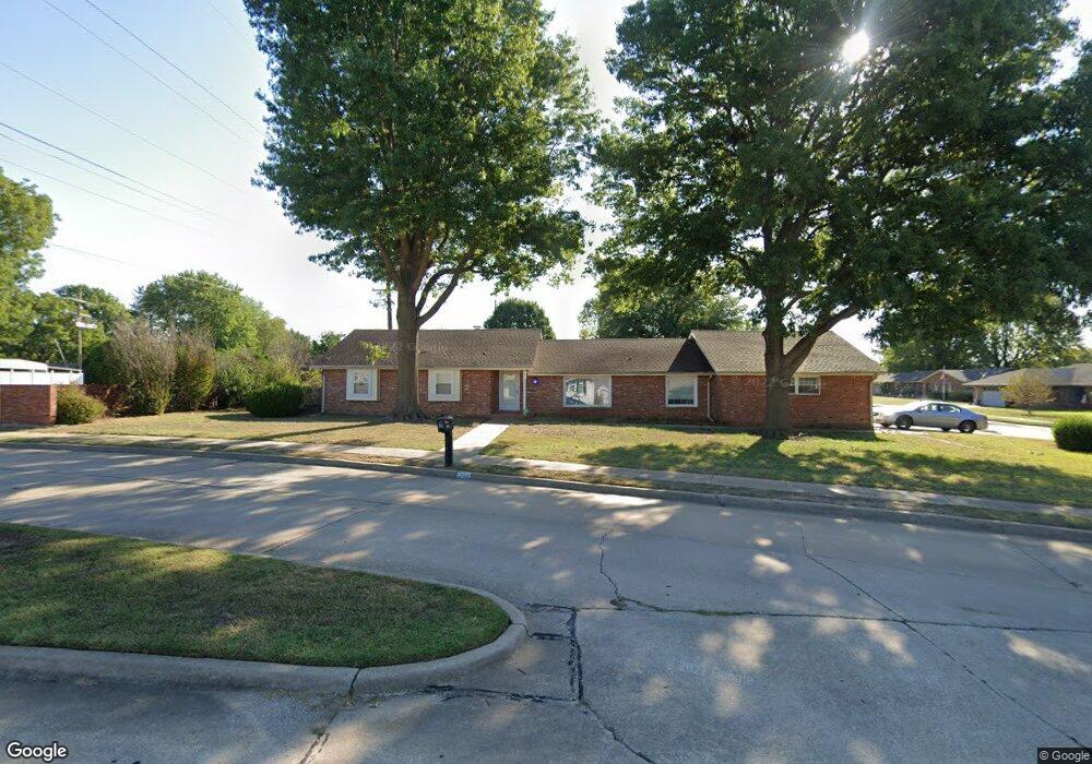
1702 Harned Dr Bartlesville, OK 74006
Estimated Value: $230,362 - $259,000
3
Beds
2
Baths
2,317
Sq Ft
$106/Sq Ft
Est. Value
About This Home
This home is located at 1702 Harned Dr, Bartlesville, OK 74006 and is currently estimated at $245,841, approximately $106 per square foot. 1702 Harned Dr is a home located in Washington County with nearby schools including Ranch Heights Elementary School, Madison Middle School, and Bartlesville High School.
Ownership History
Date
Name
Owned For
Owner Type
Purchase Details
Closed on
Apr 13, 2023
Sold by
Robertson Linda S and Robertson Edward Dean
Bought by
Robertson Linda S and Robertson Edward Dean
Current Estimated Value
Purchase Details
Closed on
Nov 3, 2008
Sold by
Coast Construction Co
Bought by
Mueller Cara L and Mueller Duane K
Purchase Details
Closed on
Mar 2, 1993
Sold by
Sarli Michael J and Sarli Jayne E
Bought by
Hooker James A and Mary Ann
Create a Home Valuation Report for This Property
The Home Valuation Report is an in-depth analysis detailing your home's value as well as a comparison with similar homes in the area
Home Values in the Area
Average Home Value in this Area
Purchase History
| Date | Buyer | Sale Price | Title Company |
|---|---|---|---|
| Robertson Linda S | -- | None Listed On Document | |
| Mueller Cara L | $20,000 | None Available | |
| Hooker James A | $82,500 | -- |
Source: Public Records
Tax History Compared to Growth
Tax History
| Year | Tax Paid | Tax Assessment Tax Assessment Total Assessment is a certain percentage of the fair market value that is determined by local assessors to be the total taxable value of land and additions on the property. | Land | Improvement |
|---|---|---|---|---|
| 2025 | $2,575 | $22,515 | $2,229 | $20,286 |
| 2024 | $2,575 | $21,443 | $2,123 | $19,320 |
| 2023 | $2,575 | $20,422 | $1,999 | $18,423 |
| 2022 | $2,330 | $19,449 | $1,880 | $17,569 |
| 2021 | $2,284 | $19,449 | $1,880 | $17,569 |
| 2020 | $2,335 | $19,449 | $1,880 | $17,569 |
| 2019 | $2,336 | $19,449 | $1,880 | $17,569 |
| 2018 | $1,760 | $15,728 | $1,880 | $13,848 |
| 2017 | $1,746 | $15,270 | $1,880 | $13,390 |
| 2016 | $1,587 | $14,826 | $1,880 | $12,946 |
| 2015 | $1,562 | $14,394 | $1,880 | $12,514 |
| 2014 | $1,507 | $13,975 | $1,880 | $12,095 |
Source: Public Records
Map
Nearby Homes
- 5269 Nowata Rd Unit O102
- 5217 Nowata Rd Unit 203C
- 5217 Nowata Rd Unit C204
- 5239 Nowata Rd Unit H102
- 5229 Nowata Rd Unit F101
- 1521 Lariat Dr
- 1500 Harris Dr
- 1912 Lester Ave
- 1435 Lariat Dr
- 1801 Rolling Hills Place
- 1869 Putnam Dr
- 4821 SE Barlow Dr
- 1425 S Madison Blvd
- 4908 SE Barlow Dr
- 1354 Harris Dr
- 4607 Rolling Hills Dr
- 5301 Barnett Ave
- 1412 Meadow Ln
- 2104 SE Lester
- 5205 Charleston Dr
- 4708 Harned Place
- 4701 Harned Place
- 4716 Harned Place
- 1620 Harned Dr
- 1701 Harned Dr
- 1645 Macklyn Ln
- 1709 Harned Dr
- 4707 Harned Place
- 4715 Harned Place
- 1717 Harned Dr
- 4724 Harned Place
- 1616 Harned Dr
- 1621 Harned Dr
- 1725 Harned Dr
- 4725 Harned Place
- 1642 Macklyn Ln
- 4710 Harned Ct
- 1633 Macklyn Ln
- 1742 Harned Dr
- 1617 Harned Dr