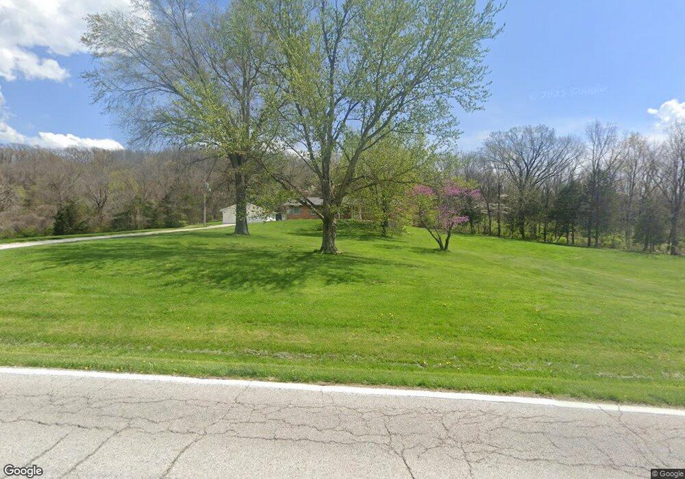
1702 Highway T Labadie, MO 63055
Estimated Value: $456,386 - $511,000
3
Beds
2
Baths
2,077
Sq Ft
$233/Sq Ft
Est. Value
About This Home
This home is located at 1702 Highway T, Labadie, MO 63055 and is currently estimated at $483,347, approximately $232 per square foot. 1702 Highway T is a home located in Franklin County with nearby schools including Washington High School.
Ownership History
Date
Name
Owned For
Owner Type
Purchase Details
Closed on
Apr 3, 2012
Sold by
Newman Jerry D and Newman Kristi K
Bought by
Meyer Kenneth E and Meyer Carolyn L
Current Estimated Value
Purchase Details
Closed on
Apr 5, 2007
Sold by
Newman Marvin J and Newman Jerry D
Bought by
Newman Jerry D and Newman Kristi K
Home Financials for this Owner
Home Financials are based on the most recent Mortgage that was taken out on this home.
Original Mortgage
$100,000
Interest Rate
6.24%
Mortgage Type
New Conventional
Create a Home Valuation Report for This Property
The Home Valuation Report is an in-depth analysis detailing your home's value as well as a comparison with similar homes in the area
Home Values in the Area
Average Home Value in this Area
Purchase History
| Date | Buyer | Sale Price | Title Company |
|---|---|---|---|
| Meyer Kenneth E | $249,000 | None Available | |
| Newman Jerry D | -- | None Available |
Source: Public Records
Mortgage History
| Date | Status | Borrower | Loan Amount |
|---|---|---|---|
| Previous Owner | Newman Jerry D | $100,000 |
Source: Public Records
Tax History Compared to Growth
Tax History
| Year | Tax Paid | Tax Assessment Tax Assessment Total Assessment is a certain percentage of the fair market value that is determined by local assessors to be the total taxable value of land and additions on the property. | Land | Improvement |
|---|---|---|---|---|
| 2024 | $2,733 | $39,927 | $0 | $0 |
| 2023 | $2,733 | $39,927 | $0 | $0 |
| 2022 | $2,491 | $38,350 | $0 | $0 |
| 2021 | $2,511 | $38,350 | $0 | $0 |
| 2020 | $2,403 | $35,166 | $0 | $0 |
| 2019 | $2,403 | $35,166 | $0 | $0 |
| 2018 | $2,345 | $34,144 | $0 | $0 |
| 2017 | $2,342 | $34,144 | $0 | $0 |
| 2016 | $2,155 | $31,888 | $0 | $0 |
| 2015 | $2,042 | $31,888 | $0 | $0 |
| 2014 | $2,059 | $32,709 | $0 | $0 |
Source: Public Records
Map
Nearby Homes
- 930 Broken Arrow Dr
- 19 Hermit Hollow Dr
- 793 Lakeway Dr
- 801 Lakeway Dr
- 274 Lake Labadie Dr
- 576 Riverview Dr
- 0 Lot 1 Iron Horse Trail
- Lot 7A Fairfield Valley Rd
- 807 Iron Horse Trail
- 127 Front St
- 532 Fairfield Valley Rd
- 678 Saint Albans Spring Rd
- 788 Village View Cir
- 109 Lake Rd
- 110 Lake Rd
- 3560 Saint Albans Rd
- 329 Berg Crossing Dr
- 380 Merlot Ln
- 208 Merlot Ln
- 600 N High Post Rd
- 1715 Highway T 19 5 Ac
- 785 Pink Dogwood Ln
- 773 Pink Dogwood Ln
- 1613 Highway T
- 765 Pink Dogwood Ln
- 765 Pink Dogwood Ln
- 1776 Highway T
- 1615 Osage Ln
- 1600 Highway T
- 1600 Highway T
- 1640 Highway T
- 1589 Osage Ln
- 1536 Highway T
- 1555 Osage Ln
- 1300 Highway T
- 1501 Highway T
- 0 Osage Ln
- 1499 Highway T
- 1908 Highway T
- 1477 Highway T