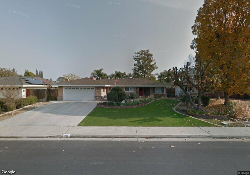
1702 Manning St Bakersfield, CA 93309
Amberton NeighborhoodEstimated Value: $399,000 - $447,000
About This Home
This home is located at 1702 Manning St, Bakersfield, CA 93309 and is currently estimated at $423,644, approximately $227 per square foot. 1702 Manning St is a home located in Kern County with nearby schools including Stockdale Elementary School, O.J. Actis Junior High School, and Bakersfield High School.
Ownership History
We collect this data history from publicly available records. To have your information removed, we recommend requesting removal directly through your county’s website.
Purchase Details
Home Financials for this Owner
Home Financials are based on the most recent Mortgage that was taken out on this home.Home Values in the Area
Average Home Value in this Area
Purchase History
We collect this data history from publicly available records. To have your information removed, we recommend requesting removal directly through your county’s website.
| Date | Buyer | Sale Price | Title Company |
|---|---|---|---|
| -- | First American Title |
Mortgage History
We collect this data history from publicly available records. To have your information removed, we recommend requesting removal directly through your county’s website.
| Date | Status | Borrower | Loan Amount |
|---|---|---|---|
| Closed | $144,000 |
Tax History
We collect this data history from publicly available records. To have your information removed, we recommend requesting removal directly through your county’s website.
| Year | Tax Paid | Tax Assessment Tax Assessment Total Assessment is a certain percentage of the fair market value that is determined by local assessors to be the total taxable value of land and additions on the property. | Land | Improvement |
|---|---|---|---|---|
| 2025 | $3,381 | $231,316 | $50,741 | $180,575 |
| 2024 | $3,329 | $226,782 | $49,747 | $177,035 |
| 2023 | $3,329 | $222,336 | $48,772 | $173,564 |
| 2022 | $3,195 | $217,977 | $47,816 | $170,161 |
| 2021 | $3,076 | $213,704 | $46,879 | $166,825 |
| 2020 | $3,023 | $211,514 | $46,399 | $165,115 |
| 2019 | $2,983 | $211,514 | $46,399 | $165,115 |
| 2018 | $2,850 | $203,303 | $44,599 | $158,704 |
| 2017 | $2,807 | $199,318 | $43,725 | $155,593 |
| 2016 | $2,627 | $195,411 | $42,868 | $152,543 |
| 2015 | $2,603 | $192,477 | $42,225 | $150,252 |
| 2014 | $2,539 | $188,707 | $41,398 | $147,309 |
Map
- 6904 Ranch House Rd
- 7100 Tioga Ct
- 7109 School House Ln
- 1304 Manning St
- 1504 Chinquapin Ct
- 1700 Ashe Rd Unit 36
- 1700 Ashe Rd Unit 28
- 1700 Ashe Rd Unit 15
- 6505 Kearsarge Way
- 7108 Saint Andrews Dr
- 7301 Calle Sagrada
- 7309 Calle Los Batiquitos
- 2000 Ashe Rd Unit 2
- 2000 Ashe Rd Unit 21
- 2000 Ashe Rd Unit 18
- 2000 Ashe Rd Unit 32
- 6702 Edmund Way
- 1217 Tam o Shanter Dr
- 7308 Budge Way
- 6500 Landfair Dr
- 1704 Manning St
- 1700 Manning St
- 6725 Bridgeport Ln
- 6721 Bridgeport Ln
- 1706 Manning St
- 6727 Bridgeport Ln
- 1701 Manning St
- 6719 Bridgeport Ln
- 1609 Manning St
- 1616 Manning St
- 1708 Manning St
- 1705 Manning St
- 1605 Manning St
- 1609 Bridgeport Ln
- 1709 Manning St
- 6717 Bridgeport Ln
- 1601 Manning St
- 1612 Manning St
- 6808 Murphys Ct
- 6724 Bridgeport Ln
Ask me questions while you tour the home.