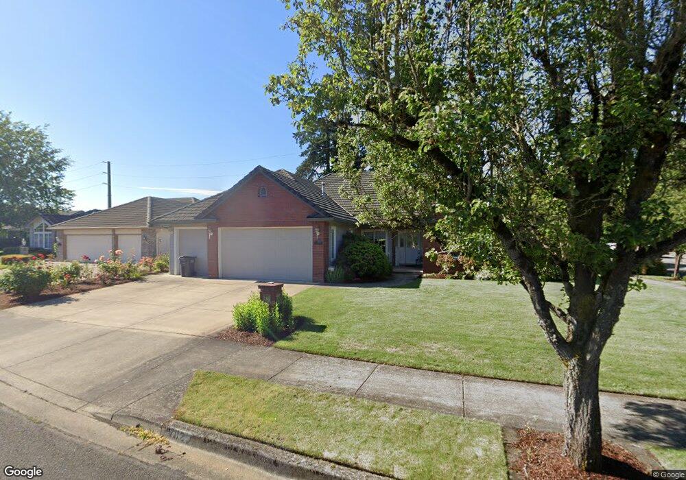
1702 River Pointe Loop Eugene, OR 97408
Cal Young NeighborhoodEstimated Value: $712,378 - $832,000
4
Beds
2
Baths
2,177
Sq Ft
$346/Sq Ft
Est. Value
About This Home
This home is located at 1702 River Pointe Loop, Eugene, OR 97408 and is currently estimated at $753,595, approximately $346 per square foot. 1702 River Pointe Loop is a home located in Lane County with nearby schools including Gilham Elementary School, Cal Young Middle School, and Sheldon High School.
Ownership History
Date
Name
Owned For
Owner Type
Purchase Details
Closed on
Mar 20, 2001
Sold by
Wullbrandt Stanley W and Wullbrandt Donna K
Bought by
Wullbrandt Stanley W and Wullbrandt Donna K
Current Estimated Value
Purchase Details
Closed on
Feb 4, 1999
Sold by
Corey Development Llc
Bought by
Wullbrandt Stanley and Wullbrandt Donna
Purchase Details
Closed on
Jul 7, 1998
Sold by
River Pointe Development
Bought by
Corey Development Llc
Create a Home Valuation Report for This Property
The Home Valuation Report is an in-depth analysis detailing your home's value as well as a comparison with similar homes in the area
Home Values in the Area
Average Home Value in this Area
Purchase History
| Date | Buyer | Sale Price | Title Company |
|---|---|---|---|
| Wullbrandt Stanley W | -- | -- | |
| Wullbrandt Stanley | -- | American Title Group | |
| Corey Development Llc | $57,500 | Cascade Title Co |
Source: Public Records
Tax History
| Year | Tax Paid | Tax Assessment Tax Assessment Total Assessment is a certain percentage of the fair market value that is determined by local assessors to be the total taxable value of land and additions on the property. | Land | Improvement |
|---|---|---|---|---|
| 2025 | $9,401 | $482,497 | -- | -- |
| 2024 | $9,284 | $468,444 | -- | -- |
| 2023 | $9,284 | $454,800 | $0 | $0 |
| 2022 | $8,697 | $441,554 | $0 | $0 |
| 2021 | $8,169 | $428,694 | $0 | $0 |
| 2020 | $8,072 | $416,208 | $0 | $0 |
| 2019 | $7,788 | $404,086 | $0 | $0 |
| 2018 | $7,319 | $380,890 | $0 | $0 |
| 2017 | $6,922 | $380,890 | $0 | $0 |
| 2016 | $6,570 | $369,796 | $0 | $0 |
| 2015 | $6,397 | $359,025 | $0 | $0 |
| 2014 | $6,276 | $348,568 | $0 | $0 |
Source: Public Records
Map
Nearby Homes
- 3428 River Pointe Dr
- 3328 Lakemont Dr
- 3435 Meadow View Dr
- 1880 Lake Cove Ave
- 3329 Lake Wood Dr
- 3558 Nestucca Loop
- 2063 Lake Wind Dr
- 3355 N Delta Hwy Unit SP160
- 3355 N Delta Hwy Unit 105
- 3566 Nestucca Loop
- 2099 Lake Shore Dr
- 2053 Lakeview Dr
- 2120 Ashbury Dr
- 3708 Gilham Rd
- 3770 Waterbrook Way
- 3380 Honeywood St
- 3105 Wolf Meadows Ln
- 3620 Walton Ln
- 1475 Green Acres Rd Unit 76
- 1475 Green Acres Rd Unit 41
- 1706 River Pointe Loop
- 3425 River Pointe Dr
- 3420 River Pointe Dr
- 254 Ayers Rd
- 1714 River Pointe Loop
- 1715 River Pointe Loop
- 3432 River Pointe Dr
- 1710 Lake Shore Dr
- 1791 River Pointe Loop
- 1783 River Pointe Loop
- 1727 River Pointe Loop
- 1718 River Pointe Loop
- 1775 River Pointe Loop
- 1724 Lake Shore Dr
- 1736 Lake Shore Dr
- 1690 Canoe Ridge Way
- 1703 Lake Shore Dr
- 1724 River Pointe Loop
- 1757 River Pointe Loop
- 1709 Lake Shore Dr
Your Personal Tour Guide
Ask me questions while you tour the home.