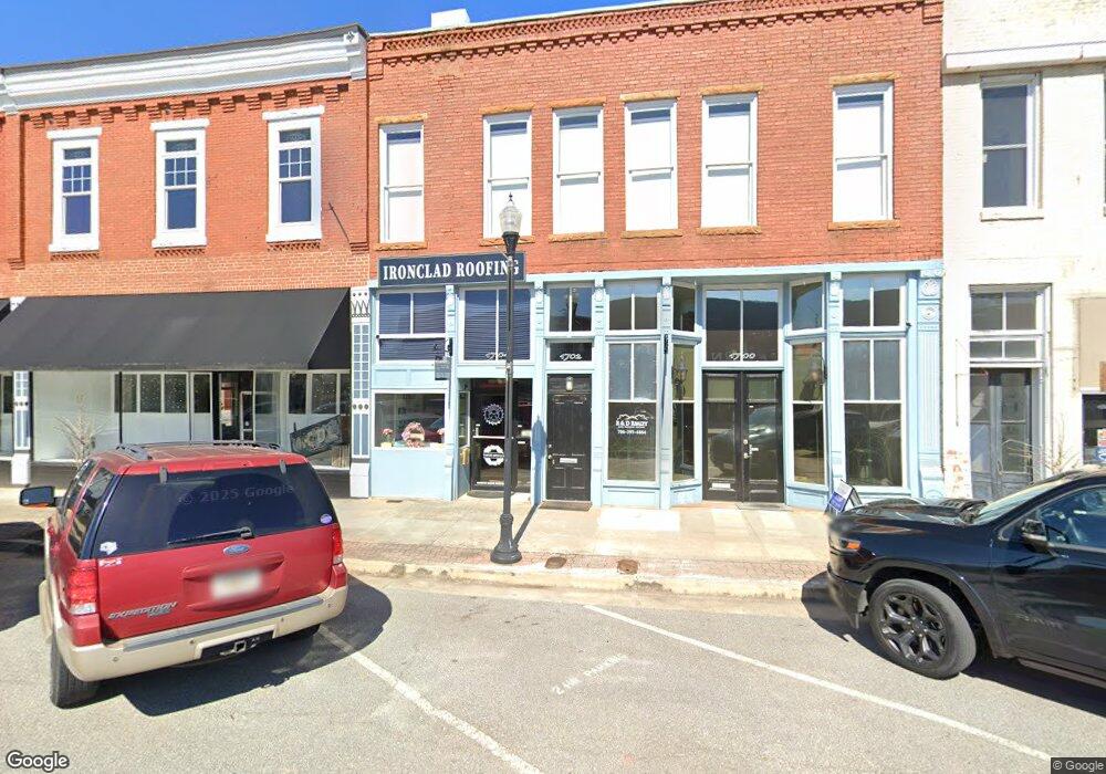
1702 S Broad St Commerce, GA 30529
Estimated Value: $462,844
Studio
--
Bath
4,164
Sq Ft
$111/Sq Ft
Est. Value
About This Home
This home is located at 1702 S Broad St, Commerce, GA 30529 and is currently estimated at $462,844, approximately $111 per square foot. 1702 S Broad St is a home located in Jackson County with nearby schools including Commerce Primary School, Commerce Elementary School, and Commerce Middle School.
Ownership History
Date
Name
Owned For
Owner Type
Purchase Details
Closed on
Oct 23, 2024
Sold by
Rwtp Investments Llc
Bought by
Advanta Ira Administration Llc and Jon Horn Ira
Current Estimated Value
Purchase Details
Closed on
Jan 12, 2023
Sold by
Harmony Grove Investments Llc
Bought by
Rwtp Investments Llc
Purchase Details
Closed on
May 20, 1997
Bought by
Tucker Sara Frances
Create a Home Valuation Report for This Property
The Home Valuation Report is an in-depth analysis detailing your home's value as well as a comparison with similar homes in the area
Home Values in the Area
Average Home Value in this Area
Purchase History
| Date | Buyer | Sale Price | Title Company |
|---|---|---|---|
| Advanta Ira Administration Llc | $450,000 | -- | |
| Rwtp Investments Llc | -- | -- | |
| Tucker Sara Frances | -- | -- |
Source: Public Records
Tax History
| Year | Tax Paid | Tax Assessment Tax Assessment Total Assessment is a certain percentage of the fair market value that is determined by local assessors to be the total taxable value of land and additions on the property. | Land | Improvement |
|---|---|---|---|---|
| 2024 | $1,641 | $59,000 | $13,920 | $45,080 |
| 2023 | $1,629 | $65,640 | $13,920 | $51,720 |
| 2022 | $1,646 | $50,760 | $4,160 | $46,600 |
| 2021 | $2,069 | $63,920 | $4,160 | $59,760 |
| 2020 | $2,120 | $58,520 | $4,160 | $54,360 |
| 2019 | $2,151 | $58,520 | $4,160 | $54,360 |
| 2018 | $1,141 | $31,320 | $4,160 | $27,160 |
| 2017 | $1,163 | $31,364 | $4,181 | $27,183 |
| 2016 | $1,169 | $31,364 | $4,181 | $27,183 |
| 2015 | $1,253 | $32,874 | $5,692 | $27,183 |
| 2014 | $1,263 | $32,874 | $5,692 | $27,183 |
| 2013 | -- | $32,874 | $5,691 | $27,182 |
Source: Public Records
Map
Nearby Homes
- 64 College Ave
- 270 Victoria St
- 172 Scott St
- 80 Baugh St
- 2140 N Broad St
- 304 Hill St
- 44 Troy St
- 184 Ashford Ln
- 92 Duncan St Unit LOT 1 AND 2
- 248 Highland Estates
- 73 Highland Estates
- 1029 S Elm St
- 94 Heather Ln
- 0 Ridgeway St
- 246 Spring St
- 208 Piedmont St
- 392 Katie Ln
- 51 Pine Ave
- 224 Katie Ln
- 67 Cotton St
- 1700 S Broad St
- 1704 S Broad St
- 1710 S Broad St
- 11 Central Ave
- 1730 N Broad St
- 12 Central Ave
- 1732 N Broad St Unit ONE
- 1732 N Broad St
- 1672 S Broad St
- 1711 S Broad St
- 0 Georgia 326
- 0 Starke Poplar Unit 3271744
- 1736 N Broad St Unit 201
- 1736 N Broad St Unit 202
- 0 Highway 82
- 0 Highway 82 and Apple Valley Rd Unit 8044024
- 0 Highway 82 and Apple Valley Rd Unit 7637030
- 0 Highway 82 and Apple Valley Rd Unit 7586848
- 0 Highway 82 and Apple Valley Rd Unit 8145371
- 0 State View and Line Streets
Your Personal Tour Guide
Ask me questions while you tour the home.