1702 W 500 N Unit 4 Springville, UT 84663
Westfields North Neighborhood
--
Bed
--
Bath
20,040
Sq Ft
1
Acres
About This Home
This home is located at 1702 W 500 N Unit 4, Springville, UT 84663. 1702 W 500 N Unit 4 is a home located in Utah County with nearby schools including Westside Elementary School, Springville Junior High School, and Springville High School.
Ownership History
Date
Name
Owned For
Owner Type
Purchase Details
Closed on
Apr 25, 2017
Sold by
Stanworth David
Bought by
Snafu Comics Llc
Purchase Details
Closed on
Oct 4, 2013
Sold by
Zions First National Bank
Bought by
Stanworth David
Purchase Details
Closed on
Dec 4, 2012
Sold by
Montgomery Carolyn
Bought by
Zions First National Bank
Purchase Details
Closed on
Sep 23, 2010
Sold by
Overland Leasing Llc
Bought by
Hawker Enterprises Llc
Create a Home Valuation Report for This Property
The Home Valuation Report is an in-depth analysis detailing your home's value as well as a comparison with similar homes in the area
Home Values in the Area
Average Home Value in this Area
Purchase History
| Date | Buyer | Sale Price | Title Company |
|---|---|---|---|
| Snafu Comics Llc | -- | First American Title Ins | |
| Stanworth David | -- | First American Title Ins | |
| Zions First National Bank | -- | None Available | |
| Hawker Enterprises Llc | -- | Equity Title Orem Center |
Source: Public Records
Tax History Compared to Growth
Tax History
| Year | Tax Paid | Tax Assessment Tax Assessment Total Assessment is a certain percentage of the fair market value that is determined by local assessors to be the total taxable value of land and additions on the property. | Land | Improvement |
|---|---|---|---|---|
| 2025 | $21,418 | $2,164,800 | $415,400 | $1,749,400 |
| 2024 | $18,514 | $2,125,900 | $0 | $0 |
| 2023 | $18,514 | $1,854,700 | $0 | $0 |
| 2022 | $17,927 | $1,763,600 | $314,400 | $1,449,200 |
| 2021 | $16,222 | $1,364,600 | $274,200 | $1,090,400 |
| 2020 | $16,088 | $1,312,100 | $246,800 | $1,065,300 |
| 2019 | $14,831 | $1,229,900 | $154,000 | $1,075,900 |
| 2018 | $13,488 | $1,066,600 | $146,500 | $920,100 |
| 2017 | $1,506 | $114,900 | $0 | $0 |
| 2016 | $1,468 | $109,700 | $0 | $0 |
| 2015 | $1,348 | $102,700 | $0 | $0 |
| 2014 | $1,313 | $100,500 | $0 | $0 |
Source: Public Records
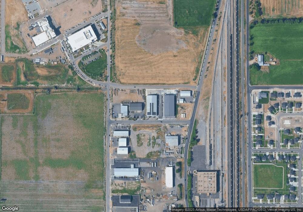
Map
Nearby Homes
- 1468 W 350 N Unit LOT 73
- 1456 W 350 N Unit LOT 72
- 1485 W 350 N
- 399 N 1325 W
- 650 E 3600 S
- 504 N 850 W
- 1087 E 3600 S Unit 212
- 42 S 1100 W
- 1175 W 100 S
- 1197 W 150 S
- 758 W 375 N
- 1166 W 200 S
- 231 N 750 W
- 435 N 650 W
- 361 N 600 W
- 156 N 600 W
- 2480 W 450 S Unit 4
- 2480 W 450 S Unit 5
- 2465 W 450 S Unit 4
- 224 S 550 W Unit B-2
- 1688 W 500 N Unit 5
- 1726 W 500 N Unit 3
- 1742 W 500 N Unit 2
- 1664 W 500 N Unit 7
- 533 N 1650 W Unit 6
- 1709 W 500 N Unit 11
- 1741 W 500 N Unit 12
- 451 N 1650 W Unit 9
- 448 N 1750 W Unit 13
- 412 N 1750 W Unit 14
- 2066 W 650 N
- 1497 W 550 N
- 444 N 1500 W Unit LOT 23
- 426 N 1500 W Unit LOT 22
- 412 N 1500 W Unit LOT 21
- 499 N 1450 W
- 487 N 1450 W
- 1497 W 400 N Unit LOT 20
- 461 N 1450 W
- 1469 W 550 Dr N