17021 Lomax Rd Prophetstown, IL 61277
Estimated Value: $89,000 - $143,000
--
Bed
--
Bath
--
Sq Ft
2.02
Acres
About This Home
This home is located at 17021 Lomax Rd, Prophetstown, IL 61277 and is currently estimated at $116,746. 17021 Lomax Rd is a home with nearby schools including Prophetstown High School.
Ownership History
Date
Name
Owned For
Owner Type
Purchase Details
Closed on
May 8, 2013
Bought by
Abell Charles and Abell Corinne
Current Estimated Value
Purchase Details
Closed on
Nov 18, 2010
Sold by
Wright Audrey Ruth
Bought by
Abell Charles D and Abell Corinne E
Home Financials for this Owner
Home Financials are based on the most recent Mortgage that was taken out on this home.
Original Mortgage
$30,000
Interest Rate
4.17%
Mortgage Type
Future Advance Clause Open End Mortgage
Create a Home Valuation Report for This Property
The Home Valuation Report is an in-depth analysis detailing your home's value as well as a comparison with similar homes in the area
Home Values in the Area
Average Home Value in this Area
Purchase History
| Date | Buyer | Sale Price | Title Company |
|---|---|---|---|
| Abell Charles | $24,000 | -- | |
| Abell Charles D | $26,000 | None Available |
Source: Public Records
Mortgage History
| Date | Status | Borrower | Loan Amount |
|---|---|---|---|
| Previous Owner | Abell Charles D | $30,000 |
Source: Public Records
Tax History Compared to Growth
Tax History
| Year | Tax Paid | Tax Assessment Tax Assessment Total Assessment is a certain percentage of the fair market value that is determined by local assessors to be the total taxable value of land and additions on the property. | Land | Improvement |
|---|---|---|---|---|
| 2024 | $2,162 | $28,343 | $8,677 | $19,666 |
| 2023 | $1,936 | $25,844 | $7,912 | $17,932 |
| 2022 | $1,736 | $22,760 | $6,968 | $15,792 |
| 2021 | $1,591 | $20,721 | $6,344 | $14,377 |
| 2020 | $1,651 | $20,678 | $6,331 | $14,347 |
| 2019 | $1,291 | $16,269 | $3,468 | $12,801 |
| 2018 | $1,330 | $16,866 | $3,592 | $13,274 |
| 2017 | $1,321 | $16,379 | $3,481 | $12,898 |
| 2016 | $1,321 | $15,841 | $3,359 | $12,482 |
| 2015 | $1,387 | $16,708 | $3,538 | $13,170 |
| 2014 | $1,283 | $15,984 | $3,383 | $12,601 |
| 2013 | $1,387 | $16,708 | $3,538 | $13,170 |
Source: Public Records
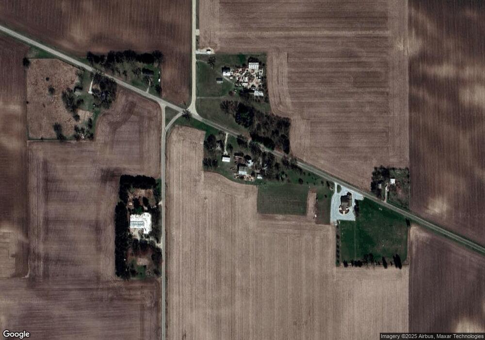
Map
Nearby Homes
- 80 Smit Rd
- 720 Smit Rd
- 0 Countryman Rd
- 622 Woodlawn Dr
- 503 Sunset Dr
- 808 Locust St
- 609 Washington St
- 605 Washington St
- 607 Washington St
- 507 Emery St
- 340 Tree Ln
- 45 Locust St
- 111 Birch St
- 000 Jersey Rd
- 0000 Jersey Rd
- 25689 Jersey Rd
- 0 Banks Rd Unit MRD12481143
- 0 Banks Rd Unit 202506237
- 24261 E 2520th St
- 000 Felton Rd