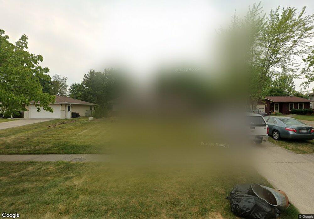
17026 Park Lane Dr Strongsville, OH 44136
Estimated Value: $300,179 - $352,000
3
Beds
2
Baths
1,992
Sq Ft
$164/Sq Ft
Est. Value
About This Home
This home is located at 17026 Park Lane Dr, Strongsville, OH 44136 and is currently estimated at $326,295, approximately $163 per square foot. 17026 Park Lane Dr is a home located in Cuyahoga County with nearby schools including Strongsville High School and Sts Joseph & John Interparochial School.
Ownership History
Date
Name
Owned For
Owner Type
Purchase Details
Closed on
Jun 16, 2000
Sold by
Walsh Kevin W and Marie Wagner Ann
Bought by
Shoaff Matthew J and Shoaff Linda B
Current Estimated Value
Home Financials for this Owner
Home Financials are based on the most recent Mortgage that was taken out on this home.
Original Mortgage
$105,000
Outstanding Balance
$37,254
Interest Rate
8.31%
Estimated Equity
$289,041
Purchase Details
Closed on
Sep 25, 1991
Sold by
Kane Douglas L
Bought by
Walsh Kevin W
Purchase Details
Closed on
Dec 26, 1979
Sold by
Hudecek Kenneth F and Hudecek Karen E
Bought by
Kane Douglas L
Purchase Details
Closed on
Aug 12, 1975
Sold by
Stephens Ronald M and Stephens Joyce E
Bought by
Hudecek Kenneth F and Hudecek Karen E
Purchase Details
Closed on
Jan 1, 1975
Bought by
Stephens Ronald M and Stephens Joyce E
Create a Home Valuation Report for This Property
The Home Valuation Report is an in-depth analysis detailing your home's value as well as a comparison with similar homes in the area
Home Values in the Area
Average Home Value in this Area
Purchase History
| Date | Buyer | Sale Price | Title Company |
|---|---|---|---|
| Shoaff Matthew J | $161,000 | Ctic | |
| Walsh Kevin W | $115,000 | -- | |
| Kane Douglas L | $75,500 | -- | |
| Hudecek Kenneth F | $51,000 | -- | |
| Stephens Ronald M | -- | -- |
Source: Public Records
Mortgage History
| Date | Status | Borrower | Loan Amount |
|---|---|---|---|
| Open | Shoaff Matthew J | $105,000 |
Source: Public Records
Tax History Compared to Growth
Tax History
| Year | Tax Paid | Tax Assessment Tax Assessment Total Assessment is a certain percentage of the fair market value that is determined by local assessors to be the total taxable value of land and additions on the property. | Land | Improvement |
|---|---|---|---|---|
| 2024 | $4,042 | $86,100 | $21,280 | $64,820 |
| 2023 | $4,199 | $67,060 | $14,630 | $52,430 |
| 2022 | $4,168 | $67,060 | $14,630 | $52,430 |
| 2021 | $4,136 | $67,060 | $14,630 | $52,430 |
| 2020 | $3,833 | $54,990 | $12,010 | $42,980 |
| 2019 | $3,721 | $157,100 | $34,300 | $122,800 |
| 2018 | $3,354 | $54,990 | $12,010 | $42,980 |
| 2017 | $3,393 | $51,140 | $10,850 | $40,290 |
| 2016 | $3,365 | $51,140 | $10,850 | $40,290 |
| 2015 | $3,413 | $51,140 | $10,850 | $40,290 |
| 2014 | $3,413 | $51,140 | $10,850 | $40,290 |
Source: Public Records
Map
Nearby Homes
- 16650 Lanier Ave
- 17159 Turkey Meadow Ln
- 16486 S Red Rock Dr
- 16450 Howe Rd
- 17024 Bear Creek Ln
- 17682 Drake Rd
- 17130 Golden Star Dr
- 18229 Howe Rd
- 17069 Partridge Dr
- 18294 Drake Rd
- 15639 Indianhead Ln
- 17934 Cambridge Oval
- 18162 Fawn Cir
- 18411 Yorktown Oval
- 16711 Beech Cir
- 14826 Lenox Dr
- 14703 Lenox Dr Unit 103
- 18630 Shurmer Rd
- 17259 Woodshire Dr
- 19311 Bradford Ct
- 17068 Park Lane Dr
- 17022 Park Lane Dr
- 16942 Ringneck Cir
- 17110 Park Lane Dr
- 16940 Ringneck Cir
- 16940 Park Lane Dr
- 16699 Lanier Ave
- 17118 Park Lane Dr
- 16946 Ringneck Cir
- 16650 Delmont Ave
- 16936 Parklane Dr
- 16939 Ringneck Cir
- 16936 Park Lane Dr
- 16950 Ringneck Cir
- 16711 Lanier Ave
- 16651 Lanier Ave
- 16608 Delmont Ave
- 16651 Delmont Ave
- 16943 Ringneck Cir
- 16949 Ringneck Cir