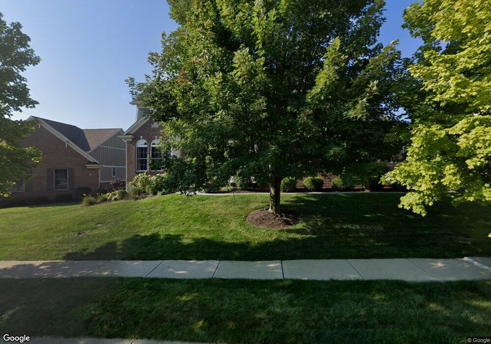
17029 Bluestone Dr Noblesville, IN 46062
West Noblesville NeighborhoodEstimated Value: $672,403 - $890,000
5
Beds
4
Baths
3,131
Sq Ft
$245/Sq Ft
Est. Value
About This Home
This home is located at 17029 Bluestone Dr, Noblesville, IN 46062 and is currently estimated at $767,851, approximately $245 per square foot. 17029 Bluestone Dr is a home located in Hamilton County with nearby schools including Hazel Dell Elementary School, Noblesville West Middle School, and Noblesville High School.
Ownership History
Date
Name
Owned For
Owner Type
Purchase Details
Closed on
Aug 14, 2009
Sold by
Hassan Daniel J and Hassan Jennifer C
Bought by
Spay Casey Richard and Spay Stephanie Lynn
Current Estimated Value
Home Financials for this Owner
Home Financials are based on the most recent Mortgage that was taken out on this home.
Original Mortgage
$270,000
Outstanding Balance
$176,041
Interest Rate
5.21%
Mortgage Type
New Conventional
Estimated Equity
$591,810
Purchase Details
Closed on
Jul 18, 2007
Sold by
Precedent Residential Development Llc
Bought by
Hassan Daniel J and Hassan Jennifer C
Home Financials for this Owner
Home Financials are based on the most recent Mortgage that was taken out on this home.
Original Mortgage
$285,000
Interest Rate
6.63%
Mortgage Type
Construction
Create a Home Valuation Report for This Property
The Home Valuation Report is an in-depth analysis detailing your home's value as well as a comparison with similar homes in the area
Home Values in the Area
Average Home Value in this Area
Purchase History
| Date | Buyer | Sale Price | Title Company |
|---|---|---|---|
| Spay Casey Richard | -- | None Available | |
| Hassan Daniel J | -- | None Available |
Source: Public Records
Mortgage History
| Date | Status | Borrower | Loan Amount |
|---|---|---|---|
| Open | Spay Casey Richard | $270,000 | |
| Previous Owner | Hassan Daniel J | $285,000 |
Source: Public Records
Tax History Compared to Growth
Tax History
| Year | Tax Paid | Tax Assessment Tax Assessment Total Assessment is a certain percentage of the fair market value that is determined by local assessors to be the total taxable value of land and additions on the property. | Land | Improvement |
|---|---|---|---|---|
| 2024 | $6,683 | $526,500 | $63,700 | $462,800 |
| 2023 | $6,683 | $531,900 | $63,700 | $468,200 |
| 2022 | $5,921 | $452,100 | $63,700 | $388,400 |
| 2021 | $5,185 | $397,500 | $63,700 | $333,800 |
| 2020 | $5,366 | $401,300 | $63,700 | $337,600 |
| 2019 | $5,062 | $398,300 | $63,700 | $334,600 |
| 2018 | $5,124 | $391,700 | $63,700 | $328,000 |
| 2017 | $2,430 | $390,500 | $63,700 | $326,800 |
| 2016 | $4,910 | $397,600 | $63,700 | $333,900 |
| 2014 | $4,986 | $403,200 | $67,800 | $335,400 |
| 2013 | $4,986 | $406,700 | $67,800 | $338,900 |
Source: Public Records
Map
Nearby Homes
- 4844 Rustling Ridge Ct
- 17037 Bittner Way
- 5218 Sweetwater Dr
- 5237 Tulip Tree Dr
- 4798 Picola Ct
- 16590 Shumard Oak Dr
- 17031 Flinchum Way E
- 17046 Flinchum Way E
- 5610 Pecan Ct
- 17193 Linda Way
- 4882 Gilet Dr
- 4883 Gilet Dr
- Meridian III Plan at Cranbrook Towns
- Talbott II Plan at Cranbrook Towns
- Lockerbie V Plan at Cranbrook Towns
- 4887 Gilet Dr
- 17500 Gruner Way
- 17510 Gruner Way
- 17520 Gruner Way
- 17581 Gruner Way
- 17039 Bluestone Dr
- 17017 Bluestone Dr
- 16998 Autumn Bend Ct
- 17011 Bluestone Dr
- 17026 Bluestone Dr
- 17032 Bluestone Dr
- 17020 Bluestone Dr
- 16984 Autumn Bend Ct
- 17038 Bluestone Dr
- 16974 Autumn Bend Ct
- 17044 Bluestone Dr
- 17014 Bluestone Dr
- 16964 Autumn Bend Ct
- 17009 Bluestone Dr
- 17050 Bluestone Dr
- 17008 Bluestone Dr
- 5059 Sweetwater Dr
- 5075 Sweetwater Dr
- 17056 Bluestone Dr
- 5039 Sweetwater Dr