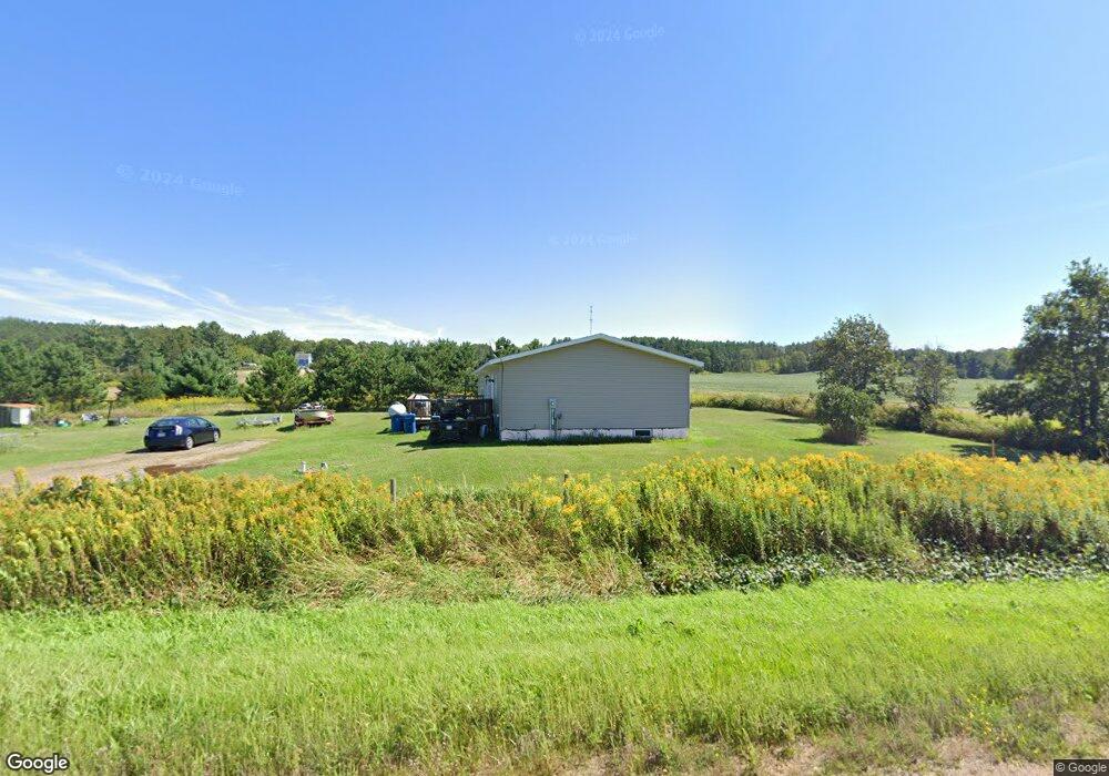
1703 9 1/2 St Barron, WI 54812
Estimated Value: $260,661 - $301,000
3
Beds
2
Baths
1,728
Sq Ft
$160/Sq Ft
Est. Value
About This Home
This home is located at 1703 9 1/2 St, Barron, WI 54812 and is currently estimated at $275,665, approximately $159 per square foot. 1703 9 1/2 St is a home located in Barron County with nearby schools including Barron High School.
Ownership History
Date
Name
Owned For
Owner Type
Purchase Details
Closed on
Oct 23, 2017
Sold by
Foust Jay A
Bought by
Madaus Justin and Madaus Natalie
Current Estimated Value
Home Financials for this Owner
Home Financials are based on the most recent Mortgage that was taken out on this home.
Original Mortgage
$127,153
Outstanding Balance
$107,052
Interest Rate
4.12%
Mortgage Type
FHA
Estimated Equity
$168,613
Create a Home Valuation Report for This Property
The Home Valuation Report is an in-depth analysis detailing your home's value as well as a comparison with similar homes in the area
Home Values in the Area
Average Home Value in this Area
Purchase History
| Date | Buyer | Sale Price | Title Company |
|---|---|---|---|
| Madaus Justin | $129,500 | Attorney Only |
Source: Public Records
Mortgage History
| Date | Status | Borrower | Loan Amount |
|---|---|---|---|
| Open | Madaus Justin | $127,153 |
Source: Public Records
Tax History Compared to Growth
Tax History
| Year | Tax Paid | Tax Assessment Tax Assessment Total Assessment is a certain percentage of the fair market value that is determined by local assessors to be the total taxable value of land and additions on the property. | Land | Improvement |
|---|---|---|---|---|
| 2024 | $1,948 | $136,800 | $15,600 | $121,200 |
| 2023 | $1,813 | $136,800 | $15,600 | $121,200 |
| 2022 | $1,727 | $136,800 | $15,600 | $121,200 |
| 2021 | $1,800 | $136,800 | $15,600 | $121,200 |
| 2020 | $1,885 | $112,000 | $9,200 | $102,800 |
| 2019 | $1,928 | $112,000 | $9,200 | $102,800 |
| 2018 | $1,860 | $112,000 | $9,200 | $102,800 |
| 2017 | $1,897 | $112,000 | $9,200 | $102,800 |
| 2016 | $1,908 | $112,000 | $9,200 | $102,800 |
| 2015 | $1,988 | $112,000 | $9,200 | $102,800 |
| 2014 | $1,948 | $112,000 | $9,200 | $102,800 |
| 2013 | $1,920 | $112,000 | $9,200 | $102,800 |
Source: Public Records
Map
Nearby Homes
- xxx 8th St
- 1753 7th St
- 0 10 1 2 St
- 1097 13 1 2 - 14th Ave
- 00 Highway P ( Clinton)
- 00 Highway P
- 2136 9 3 4 St
- 1337 15th Ave
- 106 Soo Ave W
- 200 Soo Ave W
- 121 Alma St S
- 1865 14th St
- tbd 13 1 4 St
- 0 10th St Unit 1596476
- 584 21 1 2 Ave
- Lot 12 Candy Ln
- 429 W Division Ave
- Lots 13-17 Candy Ln
- 526 Jean-Marie St Unit 1-8
- 111 Golfview Ave