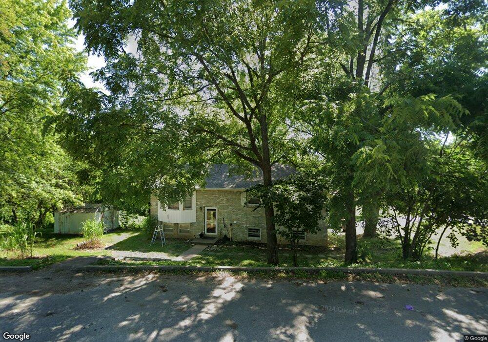
1703 Carol St Holts Summit, MO 65043
Estimated Value: $187,897 - $228,000
Studio
--
Bath
1,056
Sq Ft
$200/Sq Ft
Est. Value
About This Home
This home is located at 1703 Carol St, Holts Summit, MO 65043 and is currently estimated at $211,474, approximately $200 per square foot. 1703 Carol St is a home located in Callaway County with nearby schools including North Elementary School, Lewis & Clark Middle School, and Jefferson City High School.
Ownership History
Date
Name
Owned For
Owner Type
Purchase Details
Closed on
Dec 9, 2024
Sold by
Mcburney Samuel D and Mcburney Kristina
Bought by
Mcburney Samuel D
Current Estimated Value
Home Financials for this Owner
Home Financials are based on the most recent Mortgage that was taken out on this home.
Original Mortgage
$126,000
Outstanding Balance
$122,663
Interest Rate
6.79%
Mortgage Type
New Conventional
Estimated Equity
$88,811
Purchase Details
Closed on
Jun 24, 2006
Sold by
Emerson Carale Jean and Verda G Trimble Intervivos Tru
Bought by
Mcburney Samuel D and Mcburney Kristina
Create a Home Valuation Report for This Property
The Home Valuation Report is an in-depth analysis detailing your home's value as well as a comparison with similar homes in the area
Home Values in the Area
Average Home Value in this Area
Purchase History
We collect this data history from publicly available records. To have your information removed, we recommend requesting removal directly through your county’s website.
| Date | Buyer | Sale Price | Title Company |
|---|---|---|---|
| Mcburney Samuel D | -- | Old Republic Title | |
| Mcburney Samuel D | -- | Old Republic Title | |
| Mcburney Samuel D | -- | Old Republic Title | |
| Mcburney Samuel D | -- | None Available |
Source: Public Records
Mortgage History
We collect this data history from publicly available records. To have your information removed, we recommend requesting removal directly through your county’s website.
| Date | Status | Borrower | Loan Amount |
|---|---|---|---|
| Open | Mcburney Samuel D | $126,000 | |
| Closed | Mcburney Samuel D | $126,000 |
Source: Public Records
Tax History
| Year | Tax Paid | Tax Assessment Tax Assessment Total Assessment is a certain percentage of the fair market value that is determined by local assessors to be the total taxable value of land and additions on the property. | Land | Improvement |
|---|---|---|---|---|
| 2025 | $1,503 | $24,721 | $0 | $0 |
| 2024 | $1,503 | $24,991 | $0 | $0 |
| 2023 | $1,558 | $24,516 | $0 | $0 |
| 2022 | $1,528 | $24,516 | $1,214 | $23,302 |
| 2021 | $1,518 | $24,516 | $1,214 | $23,302 |
| 2020 | $1,537 | $24,516 | $1,214 | $23,302 |
| 2019 | $1,474 | $24,516 | $1,214 | $23,302 |
| 2018 | $1,479 | $24,516 | $1,214 | $23,302 |
| 2017 | $881 | $14,806 | $1,020 | $13,786 |
| 2016 | $755 | $14,810 | $0 | $0 |
| 2015 | $756 | $14,810 | $0 | $0 |
| 2014 | $767 | $14,690 | $0 | $0 |
Source: Public Records
Map
Nearby Homes
- 1612 Summit View Dr
- 1205 Choctaw Ridge Dr
- 1192 Choctaw Ridge Dr
- TBD LOT 17 Capitol View Dr
- LOT 1,2,3 Capital View Estates
- 1146 Choctaw Ridge Dr
- 12559 Rock Hill Rd
- 901 S Summit Dr
- 1830 Pinnacle Point
- 1828 Pinnacle Point
- LOT 29 Sterling Ridge
- LOT 36 Sterling Ridge Dr
- 2043 Sterling Ridge Dr
- LOT 37 Sterling Ridge Dr
- 11845 County Road 393
- TBD LOT 16 Capital View Estates
- TBD LOT 19 Capital View Estates
- TBD LOT 12 Capital View Estates
- 0 County Road 4039
- 12329 County Road 4039
- 1709 Carol St
- 1411 Summit View Dr
- 1717 Carol St
- 1410 Summit View Dr
- 1708 Carol St
- 1304 S Summit Dr
- 1714 Carol St
- 1723 Carol St
- 1415 Summit View Dr
- 1407 S Summit Dr
- 1376 S Summit Dr
- 1706 Lee St
- 1719 Lee St
- 1418 Summit View Dr
- 1418 Summit View Dr
- 1418 Summit View Dr
- 1418 Summit View Dr
- 1729 Carol St
- 1712 Lee St
- 1419 Summit View Dr
Your Personal Tour Guide
Ask me questions while you tour the home.