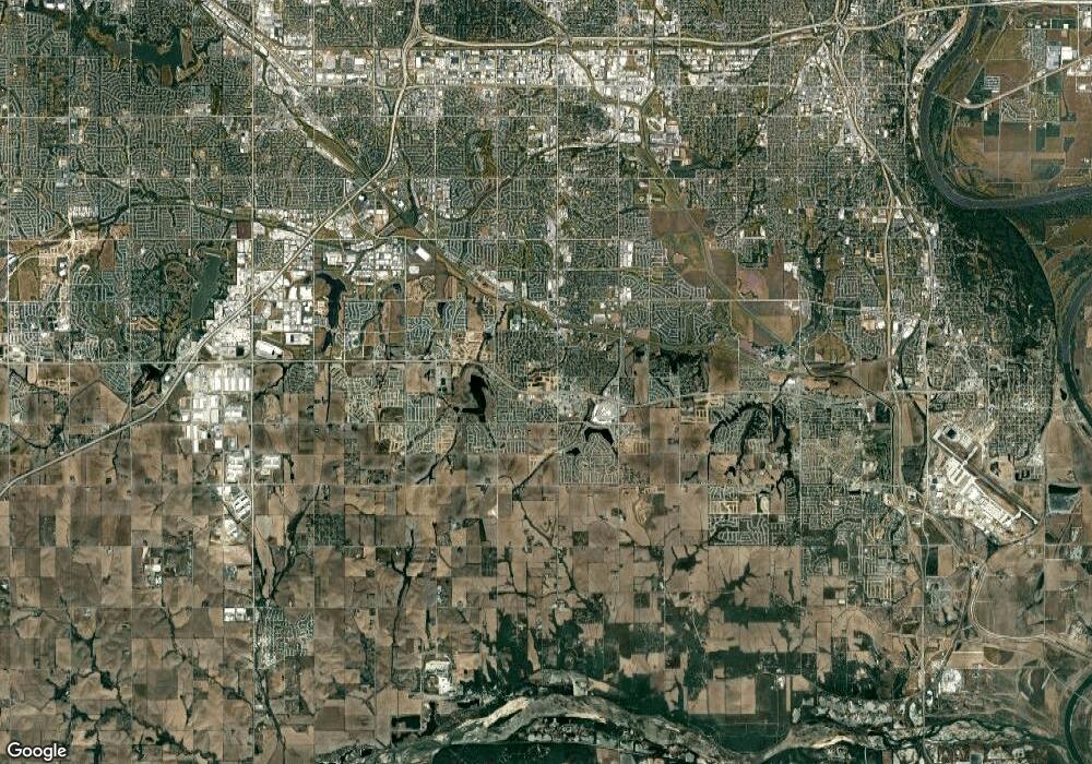
1703 Dunbar Papillion, NE 68046
Estimated Value: $329,325 - $378,000
3
Beds
5
Baths
1,877
Sq Ft
$185/Sq Ft
Est. Value
About This Home
This home is located at 1703 Dunbar, Papillion, NE 68046 and is currently estimated at $346,581, approximately $184 per square foot. 1703 Dunbar is a home located in Cass County with nearby schools including Conestoga Elementary School and Conestoga Junior/Senior High School.
Ownership History
Date
Name
Owned For
Owner Type
Purchase Details
Closed on
Jul 30, 2005
Sold by
Brennan Stephen A and Brennan Laura K
Bought by
Randolph Brian D and Randolph Catherine M
Current Estimated Value
Home Financials for this Owner
Home Financials are based on the most recent Mortgage that was taken out on this home.
Original Mortgage
$127,900
Interest Rate
5.25%
Mortgage Type
Adjustable Rate Mortgage/ARM
Create a Home Valuation Report for This Property
The Home Valuation Report is an in-depth analysis detailing your home's value as well as a comparison with similar homes in the area
Home Values in the Area
Average Home Value in this Area
Purchase History
| Date | Buyer | Sale Price | Title Company |
|---|---|---|---|
| Randolph Brian D | $159,900 | -- |
Source: Public Records
Mortgage History
| Date | Status | Borrower | Loan Amount |
|---|---|---|---|
| Closed | Randolph Brian D | $16,000 | |
| Closed | Randolph Brian D | $127,900 |
Source: Public Records
Tax History Compared to Growth
Tax History
| Year | Tax Paid | Tax Assessment Tax Assessment Total Assessment is a certain percentage of the fair market value that is determined by local assessors to be the total taxable value of land and additions on the property. | Land | Improvement |
|---|---|---|---|---|
| 2024 | $3,107 | $248,040 | $31,170 | $216,870 |
| 2023 | $3,188 | $238,331 | $27,086 | $211,245 |
| 2022 | $3,269 | $227,772 | $28,440 | $199,332 |
| 2021 | $2,882 | $193,774 | $9,629 | $184,145 |
| 2020 | $2,979 | $194,271 | $8,955 | $185,316 |
| 2019 | $2,852 | $175,534 | $3,660 | $171,874 |
| 2018 | $2,805 | $175,534 | $3,660 | $171,874 |
| 2017 | $2,647 | $163,534 | $3,660 | $159,874 |
| 2016 | $2,412 | $155,682 | $3,660 | $152,022 |
| 2015 | $2,402 | $155,682 | $3,660 | $152,022 |
| 2014 | $2,705 | $155,682 | $3,660 | $152,022 |
Source: Public Records
Map
Nearby Homes
- 1715 Rock Bluff Rd
- 1524 Trumball Terrace
- 9315 Clubhouse Cir
- 9518 Sterling Cir
- 1709 Dunbar Dr
- 1443 Koby Cir
- 9811 Rock Creek Rd
- 1402 Elm Creek Rd
- 113 Rock Bluff Rd Unit 1
- 113 Rock Bluff Rd
- 9109 Murray Dr
- 8883 Verdon Cir
- 914 Beaver Lake Blvd
- 8887 Verdon Cir
- 9012 Murray Dr
- 9019 Bellvue Dr
- 1928 Beaver Lake Blvd
- 2206 Beaver Lake Blvd
- 1812 Beaver Lake Blvd
- 823 Beaver Lake Blvd
- 1703 Dunbar Dr
- 9605 Clubhouse Cir
- 9608 Clubhouse Cir
- 1702 Dunbar Dr
- 9606 Clubhouse Cir
- 9612 Clubhouse Cir
- 9606 Clubhouse Cr
- 9403 Clubhouse Cir
- 9703 Clubhouse Cir
- 9304 Clubhouse Cir
- 9417 Clubhouse Cir
- 9601 Clubhouse Cir
- 1708 Dunbar Dr
- 1713 Dunbar Dr
- 9602 Clubhouse Cir
- 9614 Clubhouse Cir
- 1712 Dunbar Dr
- 9305 Clubhouse Cir
- 9618 Clubhouse Cir
- 9517 Clubhouse Cir
