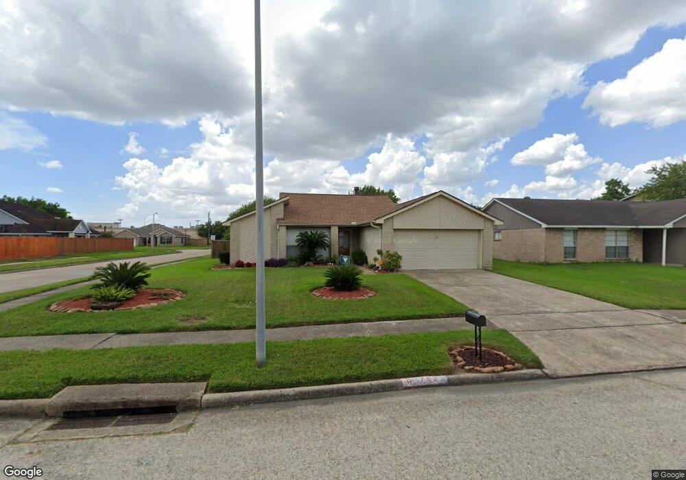
1703 Merton Dr Houston, TX 77015
Estimated Value: $211,000 - $225,000
3
Beds
2
Baths
1,393
Sq Ft
$156/Sq Ft
Est. Value
About This Home
This home is located at 1703 Merton Dr, Houston, TX 77015 and is currently estimated at $217,958, approximately $156 per square foot. 1703 Merton Dr is a home located in Harris County with nearby schools including James B. Havard Elementary School, Cobb 6th Grade Campus, and North Shore Middle School.
Ownership History
Date
Name
Owned For
Owner Type
Purchase Details
Closed on
Aug 8, 2019
Sold by
Murray Thomeson
Bought by
Murray Marzetta
Current Estimated Value
Home Financials for this Owner
Home Financials are based on the most recent Mortgage that was taken out on this home.
Original Mortgage
$62,000
Interest Rate
3.6%
Mortgage Type
Seller Take Back
Purchase Details
Closed on
Feb 16, 2017
Sold by
Wright Marzetta and Murray Marzetta
Bought by
Murray Thomeson Howard and Murray Marzetta
Create a Home Valuation Report for This Property
The Home Valuation Report is an in-depth analysis detailing your home's value as well as a comparison with similar homes in the area
Home Values in the Area
Average Home Value in this Area
Purchase History
| Date | Buyer | Sale Price | Title Company |
|---|---|---|---|
| Murray Marzetta | -- | None Available | |
| Murray Thomeson Howard | -- | None Available |
Source: Public Records
Mortgage History
| Date | Status | Borrower | Loan Amount |
|---|---|---|---|
| Closed | Murray Marzetta | $62,000 |
Source: Public Records
Tax History Compared to Growth
Tax History
| Year | Tax Paid | Tax Assessment Tax Assessment Total Assessment is a certain percentage of the fair market value that is determined by local assessors to be the total taxable value of land and additions on the property. | Land | Improvement |
|---|---|---|---|---|
| 2025 | $447 | $197,192 | $42,840 | $154,352 |
| 2024 | $447 | $214,000 | $42,840 | $171,160 |
| 2023 | $447 | $222,068 | $42,840 | $179,228 |
| 2022 | $3,330 | $180,276 | $42,840 | $137,436 |
| 2021 | $3,332 | $157,332 | $42,840 | $114,492 |
| 2020 | $3,952 | $137,883 | $42,840 | $95,043 |
| 2019 | $3,134 | $128,446 | $42,840 | $85,606 |
| 2018 | $510 | $93,778 | $18,900 | $74,878 |
| 2017 | $2,898 | $93,778 | $18,900 | $74,878 |
| 2016 | $2,844 | $93,778 | $18,900 | $74,878 |
| 2015 | $1,866 | $89,391 | $9,450 | $79,941 |
| 2014 | $1,866 | $79,102 | $9,450 | $69,652 |
Source: Public Records
Map
Nearby Homes
- 14807 Shottery Dr
- 1610 Evesham Dr
- 14847 Shottery Dr
- 1915 Aldates Dr
- 14854 Shottery Dr
- 14808 Welbeck Dr
- 1423 Seafield Dr
- 111 Ambershadow Dr
- 15602 Egret Field Ln
- 1346 Castle Glen Dr
- 1303 Sterling Green Ct
- 1342 Castle Glen Dr
- 14615 Woodmaple Ct
- 14806 Beaconsfield Dr
- 218 Magnolia Grove Ln
- 14835 Scotter Dr
- 15703 Granite Mountain Trail
- 15206 Wimberly Park Dr
- 15822 Mesenbrink Ln
- 15835 Flagstone Walk Way
- 1707 Merton Dr
- 1702 Evesham Dr
- 14803 Waterside Dr
- 1706 Evesham Dr
- 1711 Merton Dr
- 1619 Merton Dr
- 1710 Evesham Dr
- 1634 Evesham Dr
- 14807 Waterside Dr
- 1702 Merton Dr
- 1706 Merton Dr
- 1715 Merton Dr
- 1615 Evesham Dr
- 14802 Waterside Dr
- 1615 Merton Dr
- 1710 Merton Dr
- 1630 Evesham Dr
- 1714 Evesham Dr
- 1719 Merton Dr
- 14811 Waterside Dr