1703 Pergin Farm Rd Oakland, MD 21550
Estimated Value: $1,399,000 - $2,263,621
--
Bed
1
Bath
2,358
Sq Ft
$797/Sq Ft
Est. Value
About This Home
This home is located at 1703 Pergin Farm Rd, Oakland, MD 21550 and is currently estimated at $1,880,207, approximately $797 per square foot. 1703 Pergin Farm Rd is a home located in Garrett County with nearby schools including Broad Ford Elementary School, Southern Middle School, and Southern Garrett High School.
Ownership History
Date
Name
Owned For
Owner Type
Purchase Details
Closed on
Sep 26, 2002
Sold by
Kennedy Michael and Kennedy Audrey
Bought by
Rea Craig V and Rea Saundra L
Current Estimated Value
Purchase Details
Closed on
Aug 17, 1998
Sold by
Foote Theodore P & Coletta M Trst
Bought by
Kennedy Michael N and Kennedy Audrey J
Create a Home Valuation Report for This Property
The Home Valuation Report is an in-depth analysis detailing your home's value as well as a comparison with similar homes in the area
Home Values in the Area
Average Home Value in this Area
Purchase History
| Date | Buyer | Sale Price | Title Company |
|---|---|---|---|
| Rea Craig V | $648,000 | -- | |
| Kennedy Michael N | $282,500 | -- |
Source: Public Records
Mortgage History
| Date | Status | Borrower | Loan Amount |
|---|---|---|---|
| Closed | Kennedy Michael N | -- |
Source: Public Records
Tax History Compared to Growth
Tax History
| Year | Tax Paid | Tax Assessment Tax Assessment Total Assessment is a certain percentage of the fair market value that is determined by local assessors to be the total taxable value of land and additions on the property. | Land | Improvement |
|---|---|---|---|---|
| 2025 | $17,011 | $1,987,000 | $473,400 | $1,513,600 |
| 2024 | $16,917 | $1,690,800 | $0 | $0 |
| 2023 | $16,319 | $1,394,600 | $0 | $0 |
| 2022 | $12,859 | $1,098,400 | $412,100 | $686,300 |
| 2021 | $12,647 | $1,080,233 | $0 | $0 |
| 2020 | $12,435 | $1,062,067 | $0 | $0 |
| 2019 | $4,646 | $412,100 | $412,100 | $0 |
| 2018 | $5,126 | $462,500 | $412,100 | $50,400 |
| 2017 | $5,127 | $462,500 | $0 | $0 |
| 2016 | -- | $460,500 | $0 | $0 |
| 2015 | -- | $460,500 | $0 | $0 |
| 2014 | -- | $460,500 | $0 | $0 |
Source: Public Records
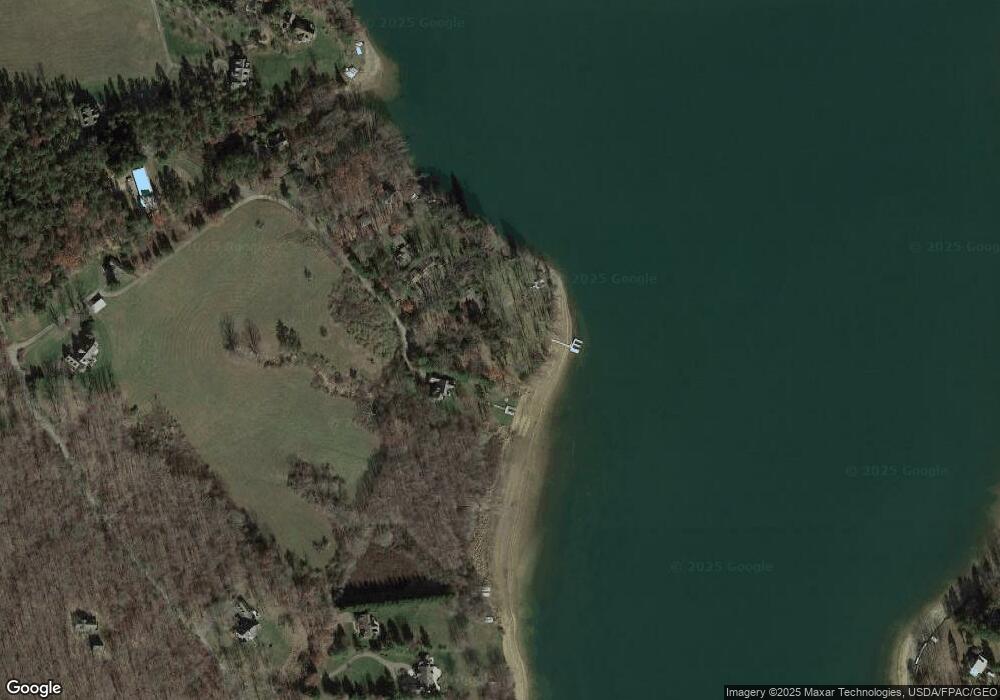
Map
Nearby Homes
- 1567 Pergin Farm Rd
- Lot G Randall Way
- 197 Black Angus Dr
- 590 S Blakeslee Rd
- 62 Middleton Rd
- 2895 Turkey Neck Rd
- 870 Holy Cross Dr
- 1010 Holy Cross Dr
- LOT 25 Holy Cross Dr
- 2 Overlook Ridge Dr S
- 3135 Turkey Neck Rd
- 1240 Boy Scout Rd
- 0 Maryland Hwy
- 19 Pheasant Run
- 0 Sassafras Hill Unit MDGA2009382
- 1909 Pysell Crosscut Rd
- 1875 Pysell Crosscut Rd
- 0 Longview Ln
- 0 Green Glade Rd Unit MDGA2010316
- 32 Hazelhurst Ln
- 1693 Pergin Farm Rd
- 1717 Pergin Farm Rd
- 1667 Pergin Farm Rd
- 1647 Pergin Farm Rd
- 1621 Pergin Farm Rd
- 1585 Pergin Farm Rd
- 144 Hawthorne Ln
- 132 Hawthorne Ln
- 221 Randall Way
- 219 Black Angus Dr
- 104 Hawthorne Ln
- 1345 Pergin Farm Rd
- 215 Black Angus Dr
- 1473 Pergin Farm Rd
- 1436 Pergin Farm Rd
- 209 Black Angus Dr
- 289 Randall Way
- 0 Randall Way Unit GA7865367
- 0 Randall Way Unit MDGA2002548
- 0 Randall Way Unit MDGA134786