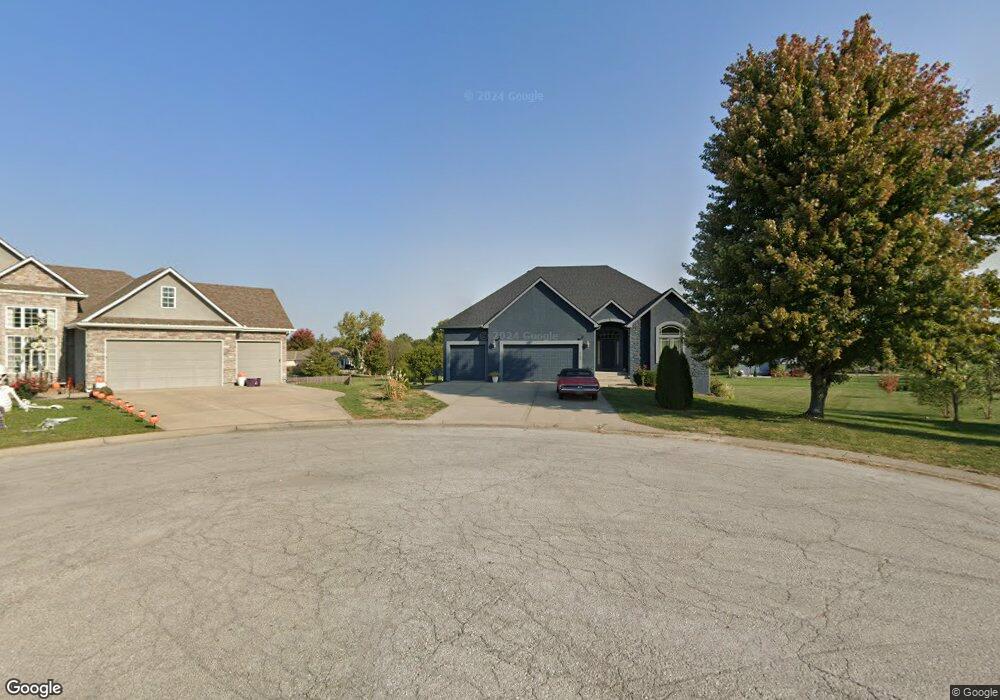
1703 SW Red Fox Cir Oak Grove, MO 64075
Estimated Value: $405,000 - $621,000
4
Beds
4
Baths
1,638
Sq Ft
$299/Sq Ft
Est. Value
About This Home
This home is located at 1703 SW Red Fox Cir, Oak Grove, MO 64075 and is currently estimated at $489,547, approximately $298 per square foot. 1703 SW Red Fox Cir is a home located in Jackson County with nearby schools including Grain Valley High School.
Ownership History
Date
Name
Owned For
Owner Type
Purchase Details
Closed on
Jan 31, 2006
Sold by
Dunivent Inc
Bought by
Blountt Leo D and Blountt Lula M
Current Estimated Value
Home Financials for this Owner
Home Financials are based on the most recent Mortgage that was taken out on this home.
Original Mortgage
$287,920
Outstanding Balance
$184,072
Interest Rate
8.6%
Mortgage Type
Purchase Money Mortgage
Estimated Equity
$305,475
Purchase Details
Closed on
Aug 11, 2004
Sold by
Gurney Land Development Llc
Bought by
Dunivent Inc
Home Financials for this Owner
Home Financials are based on the most recent Mortgage that was taken out on this home.
Original Mortgage
$255,000
Interest Rate
6.02%
Mortgage Type
Construction
Create a Home Valuation Report for This Property
The Home Valuation Report is an in-depth analysis detailing your home's value as well as a comparison with similar homes in the area
Home Values in the Area
Average Home Value in this Area
Purchase History
| Date | Buyer | Sale Price | Title Company |
|---|---|---|---|
| Blountt Leo D | -- | Ctic | |
| Dunivent Inc | -- | Stewart |
Source: Public Records
Mortgage History
| Date | Status | Borrower | Loan Amount |
|---|---|---|---|
| Open | Blountt Leo D | $287,920 | |
| Previous Owner | Dunivent Inc | $255,000 |
Source: Public Records
Tax History Compared to Growth
Tax History
| Year | Tax Paid | Tax Assessment Tax Assessment Total Assessment is a certain percentage of the fair market value that is determined by local assessors to be the total taxable value of land and additions on the property. | Land | Improvement |
|---|---|---|---|---|
| 2025 | $5,377 | $75,122 | $13,722 | $61,400 |
| 2024 | $5,212 | $69,183 | $13,701 | $55,482 |
| 2023 | $5,212 | $69,183 | $11,140 | $58,043 |
| 2022 | $4,982 | $60,420 | $8,589 | $51,831 |
| 2021 | $4,873 | $60,420 | $8,589 | $51,831 |
| 2020 | $4,886 | $57,591 | $8,589 | $49,002 |
| 2019 | $4,644 | $57,591 | $8,589 | $49,002 |
| 2018 | $1,513,432 | $50,123 | $7,476 | $42,647 |
| 2017 | $4,150 | $50,123 | $7,476 | $42,647 |
| 2016 | $4,150 | $49,837 | $8,398 | $41,439 |
| 2014 | $3,753 | $44,840 | $8,394 | $36,446 |
Source: Public Records
Map
Nearby Homes
- 1203 SW Burns Ct
- The Aspen Plan at Oaks of Edgewood
- The Stratford Plan at Oaks of Edgewood
- The Brookfield Plan at Oaks of Edgewood
- The Marceline Plan at Oaks of Edgewood
- 901 SW Redbird Ct
- 903 SW Redbird Ct
- 900 SW Redbird Ct
- 902 SW Redbird Ct
- 904 SW Redbird Ct
- 1202 SW Cardinal Ct
- 1500 SW Meadowlark Ct
- 1112 SW 10th St
- 1502 SW Meadowlark Ct
- 1106 SW 10th St
- 904 SW Pintail Dr
- 910 SW Pintail Dr
- 908 SW Pintail Dr
- 907 SW Pintail Dr
- 906 SW Pintail Dr
- 1700 SW Red Fox Cir
- 1705 SW Red Fox Cir
- 1704 SW Red Fox Cir
- 1702 SW Red Fox Cir
- 1606 Deer Run Rd
- 1604 Deer Run Rd
- 1604 SW Deer Run Rd
- 1608 Deer Run Rd
- 1603 SW Timberline Rd
- 1602 Deer Run Rd
- 1605 SW Timberline Rd
- 1204 SW Burns Cir
- 1204 SW Burns Cir
- 1200 SW Burns Cir
- 1607 SW Timberline Rd
- 1206 SW Burns Cir
- 1601 SW Timberline Rd
- 1611 SW Timberline Rd
- 1701 SW Timberline Rd
- 1609 Deer Run Rd