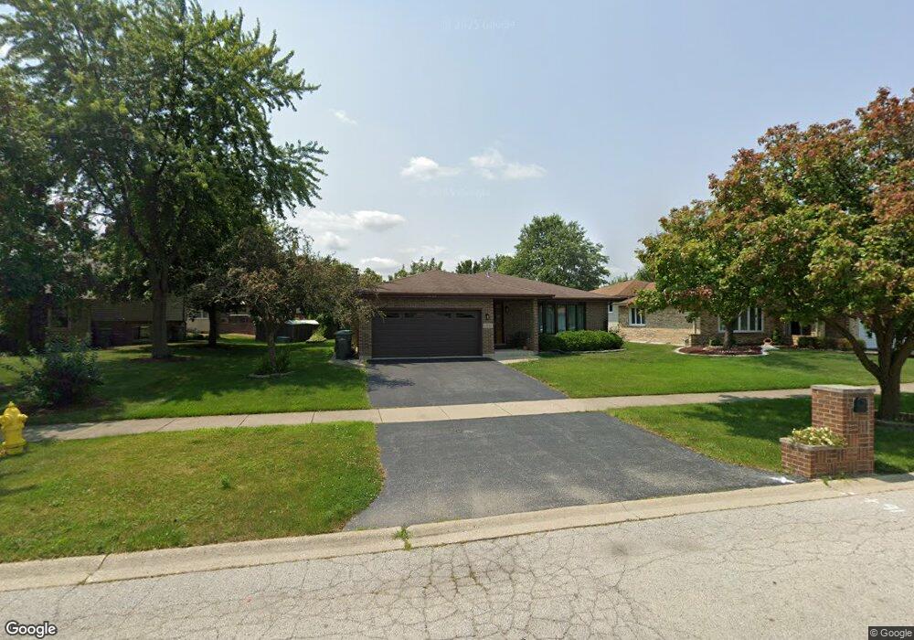
17030 92nd Ave Orland Hills, IL 60487
Estimated Value: $384,496 - $434,000
3
Beds
2
Baths
1,951
Sq Ft
$210/Sq Ft
Est. Value
About This Home
This home is located at 17030 92nd Ave, Orland Hills, IL 60487 and is currently estimated at $409,624, approximately $209 per square foot. 17030 92nd Ave is a home located in Cook County with nearby schools including Fernway Park Elementary School, Prairie View Middle School, and Victor J Andrew High School.
Ownership History
Date
Name
Owned For
Owner Type
Purchase Details
Closed on
Dec 2, 2021
Sold by
Urso Katherine
Bought by
Wills Cherice A and Brzek Matthew
Current Estimated Value
Home Financials for this Owner
Home Financials are based on the most recent Mortgage that was taken out on this home.
Original Mortgage
$269,100
Outstanding Balance
$247,067
Interest Rate
2.98%
Mortgage Type
New Conventional
Estimated Equity
$162,557
Purchase Details
Closed on
Jul 15, 2003
Sold by
Phillips Jeanne M
Bought by
Urso Anthony and Urso Katherine
Create a Home Valuation Report for This Property
The Home Valuation Report is an in-depth analysis detailing your home's value as well as a comparison with similar homes in the area
Home Values in the Area
Average Home Value in this Area
Purchase History
| Date | Buyer | Sale Price | Title Company |
|---|---|---|---|
| Wills Cherice A | $299,000 | Precision Title | |
| Urso Anthony | $257,000 | Ticor Title Insurance |
Source: Public Records
Mortgage History
| Date | Status | Borrower | Loan Amount |
|---|---|---|---|
| Open | Wills Cherice A | $269,100 |
Source: Public Records
Tax History Compared to Growth
Tax History
| Year | Tax Paid | Tax Assessment Tax Assessment Total Assessment is a certain percentage of the fair market value that is determined by local assessors to be the total taxable value of land and additions on the property. | Land | Improvement |
|---|---|---|---|---|
| 2024 | $8,371 | $30,000 | $5,859 | $24,141 |
| 2023 | $8,617 | $30,000 | $5,859 | $24,141 |
| 2022 | $8,617 | $23,999 | $4,774 | $19,225 |
| 2021 | $5,122 | $23,998 | $4,774 | $19,224 |
| 2020 | $4,582 | $23,998 | $4,774 | $19,224 |
| 2019 | $4,911 | $27,799 | $4,340 | $23,459 |
| 2018 | $4,554 | $27,799 | $4,340 | $23,459 |
| 2017 | $4,518 | $27,799 | $4,340 | $23,459 |
| 2016 | $5,772 | $23,593 | $3,906 | $19,687 |
| 2015 | $6,000 | $23,593 | $3,906 | $19,687 |
| 2014 | $5,959 | $23,593 | $3,906 | $19,687 |
| 2013 | $6,104 | $25,731 | $3,906 | $21,825 |
Source: Public Records
Map
Nearby Homes
- 17018 93rd Ave
- 16950 90th Ave
- 16779 92nd Ave
- 16805 Hilltop Ave
- 16753 91st Ave
- 16753 Hilltop Ave
- 17230 Shetland Dr
- 16701 Highview Ave
- 9413 Caledonia Dr
- 17224 Briar Dr
- 16813 89th Ave
- 9404 Lindsay St
- 8750 W 169th St
- 8721 W 169th St
- 9201 175th St
- 9334 Drummond Dr Unit 3
- 8710 W 168th St
- 17533 Pecan Ln
- 9260 Windsor Pkwy Unit 80
- 17324 Humber Ln
- 17024 92nd Ave
- 17036 92nd Ave
- 9216 170th Place
- 17018 92nd Ave
- 17042 92nd Ave Unit 4
- 17037 Haven Ave
- 17031 Haven Ave
- 17043 Haven Ave
- 17012 92nd Ave
- 17025 Haven Ave
- 17013 92nd Ave
- 17025 92nd Ave
- 17007 92nd Ave
- 17031 92nd Ave
- 17037 92nd Ave
- 17006 92nd Ave
- 17019 Haven Ave
- 17043 92nd Ave
- 9207 170th Place