Estimated Value: $96,791 - $131,000
--
Bed
--
Bath
--
Sq Ft
40.02
Acres
About This Home
This home is located at 17031 S Lone Ranger Rd, Yucca, AR 86438 and is currently estimated at $109,930. 17031 S Lone Ranger Rd is a home located in Mohave County with nearby schools including Yucca Elementary School.
Ownership History
Date
Name
Owned For
Owner Type
Purchase Details
Closed on
Dec 15, 2017
Sold by
Patrick Nigel K
Bought by
Plemmons Larry J and Plemmons Connie M
Current Estimated Value
Home Financials for this Owner
Home Financials are based on the most recent Mortgage that was taken out on this home.
Original Mortgage
$45,000
Outstanding Balance
$37,896
Interest Rate
3.95%
Mortgage Type
Seller Take Back
Estimated Equity
$72,034
Purchase Details
Closed on
Jun 23, 2010
Sold by
Pierce William
Bought by
Patrick Nigel K
Purchase Details
Closed on
Feb 22, 2008
Sold by
Soto Mark Anthony
Bought by
Soto Shauna Machell
Purchase Details
Closed on
May 11, 2005
Sold by
First American Title Insurance Co
Bought by
Soto Mark
Create a Home Valuation Report for This Property
The Home Valuation Report is an in-depth analysis detailing your home's value as well as a comparison with similar homes in the area
Home Values in the Area
Average Home Value in this Area
Purchase History
| Date | Buyer | Sale Price | Title Company |
|---|---|---|---|
| Plemmons Larry J | $65,000 | Pioneer Title Agency Inc | |
| Patrick Nigel K | $25,000 | First American Title Ins Age | |
| Soto Shauna Machell | -- | None Available | |
| Soto Mark | -- | First American Title Ins Co |
Source: Public Records
Mortgage History
| Date | Status | Borrower | Loan Amount |
|---|---|---|---|
| Open | Plemmons Larry J | $45,000 |
Source: Public Records
Tax History Compared to Growth
Tax History
| Year | Tax Paid | Tax Assessment Tax Assessment Total Assessment is a certain percentage of the fair market value that is determined by local assessors to be the total taxable value of land and additions on the property. | Land | Improvement |
|---|---|---|---|---|
| 2026 | -- | -- | -- | -- |
| 2025 | $292 | $5,692 | $0 | $0 |
| 2024 | $292 | $6,201 | $0 | $0 |
| 2023 | $292 | $4,382 | $0 | $0 |
| 2022 | $246 | $4,228 | $0 | $0 |
| 2021 | $268 | $3,920 | $0 | $0 |
| 2019 | $241 | $3,627 | $0 | $0 |
| 2018 | $233 | $3,432 | $0 | $0 |
| 2017 | $213 | $2,965 | $0 | $0 |
| 2016 | $218 | $2,576 | $0 | $0 |
| 2015 | $269 | $3,211 | $0 | $0 |
Source: Public Records
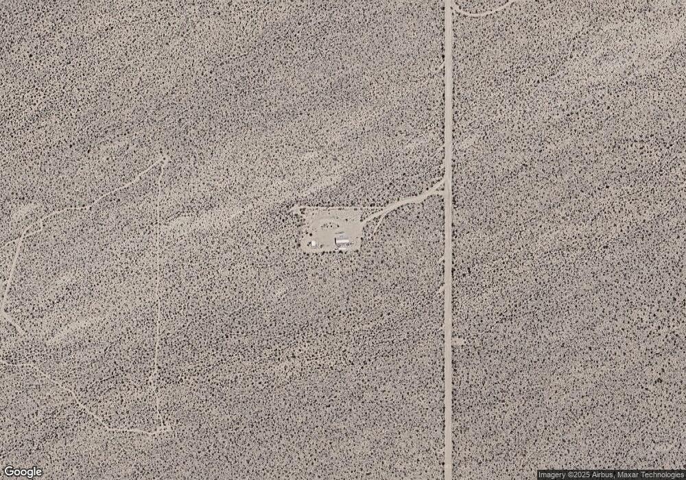
Map
Nearby Homes
- 320 Acres W Brittlebush Dr
- Parcel 922 W Crystal Springs Dr
- Parc 922 W Crystal Springs Dr
- 16858 S Butch Cassidy Rd
- 000XX S Cameron Rd Unit 94
- PARCEL3177 S Butch Cassidy Rd
- 3501 S Wild Bill Rd
- 17404 S Billy the Kid Rd Unit 2770
- 160 Acres W Silver Dr
- 160 Acres W Silver Dr
- 120 ACRES S Dale Evans Rd
- 18695 S Gene Autry Rd
- 2027 S Roy Rogers Rd
- Unnamed Dirt Rd Unit Haviland 86413 AZ
- 24203004 S Sundance Kid Rd
- 24212013 S Sundance Kid Rd
- 24212015 S Sundance Kid Rd
- 2906 W Crystal Springs Dr
- 17404 S Jesse James Rd
- 0 N Angell Rd Unit 29691
- 17031 S Lone Ranger Rd
- -822 S Lone Ranger Rd
- 817 Lone Ranger
- 17198 S Wild Bill Rd
- 17198 S Wild Bill Rd
- 823 S Wild Bill Rd
- n/a S Lone Ranger Rd
- 3495 S Lone Ranger Rd
- 3503 S Lone Ranger Rd Unit 3503
- 3495 S Lone Ranger Rd Unit 3495
- 653 S Lone Ranger Rd
- 0000 Long Ranger
- 16955 S Lone Ranger Rd
- 16955 S Lone Ranger Rd
- 2 S Butch Cassidy Rd
- 1 S Butch Cassidy Rd
- 16905 S Wild Bill Rd
- 16721 S Lone Ranger Rd
- 16721 S Lone Ranger Rd