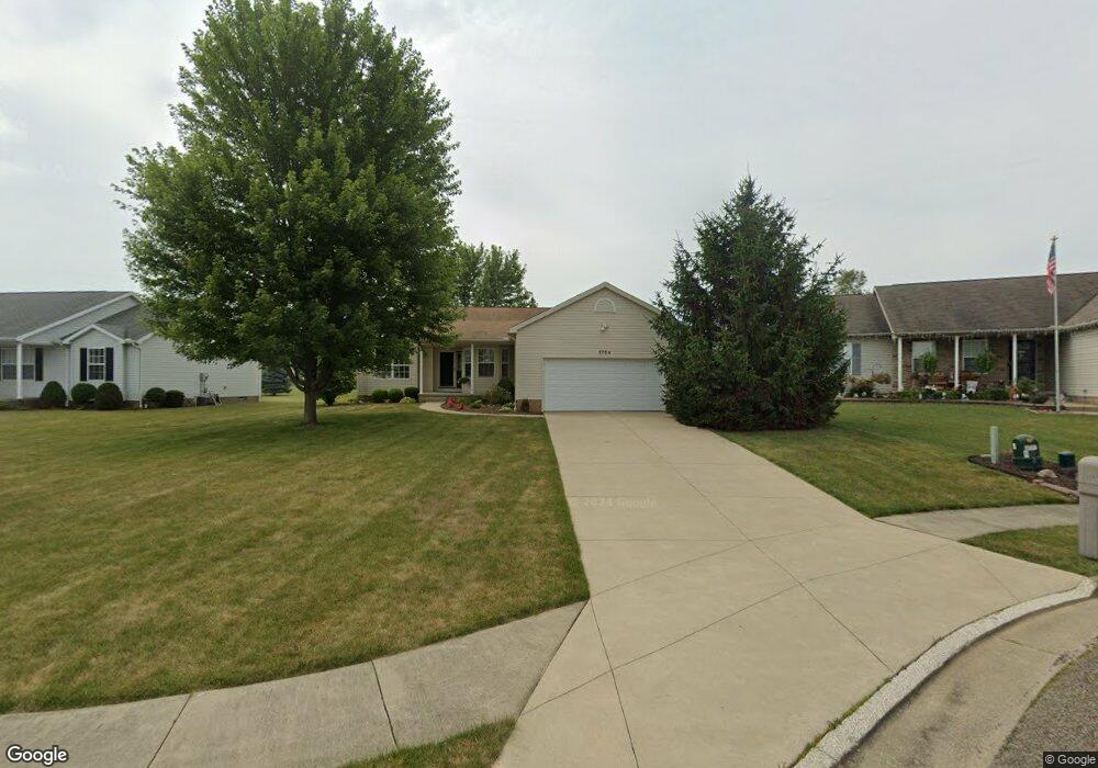
1704 Briarwood St Louisville, OH 44641
Estimated Value: $256,091 - $283,000
3
Beds
2
Baths
1,501
Sq Ft
$184/Sq Ft
Est. Value
About This Home
This home is located at 1704 Briarwood St, Louisville, OH 44641 and is currently estimated at $275,773, approximately $183 per square foot. 1704 Briarwood St is a home located in Stark County with nearby schools including Louisville High School and St. Thomas Aquinas High School & Middle School.
Ownership History
Date
Name
Owned For
Owner Type
Purchase Details
Closed on
Sep 7, 2006
Sold by
Schalmo Builders Inc
Bought by
Honeywell Judith A
Current Estimated Value
Home Financials for this Owner
Home Financials are based on the most recent Mortgage that was taken out on this home.
Original Mortgage
$113,900
Interest Rate
6.7%
Mortgage Type
Purchase Money Mortgage
Create a Home Valuation Report for This Property
The Home Valuation Report is an in-depth analysis detailing your home's value as well as a comparison with similar homes in the area
Home Values in the Area
Average Home Value in this Area
Purchase History
| Date | Buyer | Sale Price | Title Company |
|---|---|---|---|
| Honeywell Judith A | $164,300 | Cornerstone Real Estate Titl |
Source: Public Records
Mortgage History
| Date | Status | Borrower | Loan Amount |
|---|---|---|---|
| Previous Owner | Honeywell Judith A | $113,900 |
Source: Public Records
Tax History Compared to Growth
Tax History
| Year | Tax Paid | Tax Assessment Tax Assessment Total Assessment is a certain percentage of the fair market value that is determined by local assessors to be the total taxable value of land and additions on the property. | Land | Improvement |
|---|---|---|---|---|
| 2025 | -- | $72,280 | $14,770 | $57,510 |
| 2024 | -- | $72,280 | $14,770 | $57,510 |
| 2023 | $2,356 | $63,990 | $13,970 | $50,020 |
| 2022 | $2,380 | $63,990 | $13,970 | $50,020 |
| 2021 | $2,386 | $63,990 | $13,970 | $50,020 |
| 2020 | $1,929 | $57,230 | $12,570 | $44,660 |
| 2019 | $2,112 | $61,640 | $12,570 | $49,070 |
| 2018 | $2,104 | $61,640 | $12,570 | $49,070 |
| 2017 | $1,931 | $55,580 | $11,060 | $44,520 |
| 2016 | $1,971 | $55,580 | $11,060 | $44,520 |
| 2015 | $1,976 | $55,580 | $11,060 | $44,520 |
| 2014 | $1,783 | $48,030 | $9,560 | $38,470 |
| 2013 | $895 | $48,030 | $9,560 | $38,470 |
Source: Public Records
Map
Nearby Homes
- 1715 High St
- 1812 E Broad St
- 2110 Edmar St
- 641 S Nickelplate St
- 520 S Silver St
- 308 Superior St
- 728 E Broad St
- 908 Sand Lot Cir
- 0 Michigan Blvd
- 2015 E Main St
- 3390 Meese Rd NE
- 510 S Bauman Ct
- 204 E Broad St
- 107 E Broad St
- 325 Lincoln Ave
- 1702 View Pointe Ave
- 1170 Winding Ridge Ave
- 8225 Georgetown St
- 1639 Horizon Dr
- 910 Crosswyck Cir
- 58 Briarwood St
- 1716 Briarwood St
- 1680 Briarwood St
- 1707 Opal St
- 1728 Briarwood St
- 59 Briarwood St
- 1631 Opal St
- 1660 Briarwood St
- 1715 Briarwood St
- 1721 Opal St
- 1695 Briarwood St
- 1665 Briarwood St
- 1727 Briarwood St
- 1055 S Marion Ave
- 1085 S Marion Ave
- 1025 S Marion Ave
- 1739 Briarwood St
- 1731 Opal St
- 1640 Opal St
- 1116 Hazel Ave