Estimated Value: $334,814 - $405,000
3
Beds
3
Baths
2,364
Sq Ft
$156/Sq Ft
Est. Value
About This Home
This home is located at 1704 Carnoustie Dr, Ennis, TX 75119 and is currently estimated at $369,907, approximately $156 per square foot. 1704 Carnoustie Dr is a home located in Ellis County with nearby schools including Austin Elementary School, Dorie Miller Int, and Ennis Junior High School.
Ownership History
Date
Name
Owned For
Owner Type
Purchase Details
Closed on
Jan 30, 2008
Sold by
Ennis 71 Development Llc
Bought by
Waldrop Group Llc
Current Estimated Value
Home Financials for this Owner
Home Financials are based on the most recent Mortgage that was taken out on this home.
Original Mortgage
$170,000
Interest Rate
6.15%
Mortgage Type
Purchase Money Mortgage
Create a Home Valuation Report for This Property
The Home Valuation Report is an in-depth analysis detailing your home's value as well as a comparison with similar homes in the area
Home Values in the Area
Average Home Value in this Area
Purchase History
| Date | Buyer | Sale Price | Title Company |
|---|---|---|---|
| Waldrop Group Llc | -- | -- |
Source: Public Records
Mortgage History
| Date | Status | Borrower | Loan Amount |
|---|---|---|---|
| Closed | Waldrop Group Llc | $170,000 |
Source: Public Records
Tax History Compared to Growth
Tax History
| Year | Tax Paid | Tax Assessment Tax Assessment Total Assessment is a certain percentage of the fair market value that is determined by local assessors to be the total taxable value of land and additions on the property. | Land | Improvement |
|---|---|---|---|---|
| 2025 | $5,645 | $330,954 | $65,000 | $265,954 |
| 2024 | $5,645 | $320,814 | -- | -- |
| 2023 | $5,645 | $291,649 | $0 | $0 |
| 2022 | $6,345 | $265,135 | $0 | $0 |
| 2021 | $6,068 | $324,830 | $30,000 | $294,830 |
| 2020 | $5,639 | $219,120 | $30,000 | $189,120 |
| 2019 | $7,578 | $299,980 | $0 | $0 |
| 2018 | $6,449 | $274,370 | $30,000 | $244,370 |
| 2017 | $6,339 | $242,700 | $23,000 | $219,700 |
| 2016 | $5,763 | $225,990 | $23,000 | $202,990 |
| 2015 | $5,653 | $197,500 | $23,000 | $174,500 |
| 2014 | $5,653 | $213,430 | $0 | $0 |
Source: Public Records
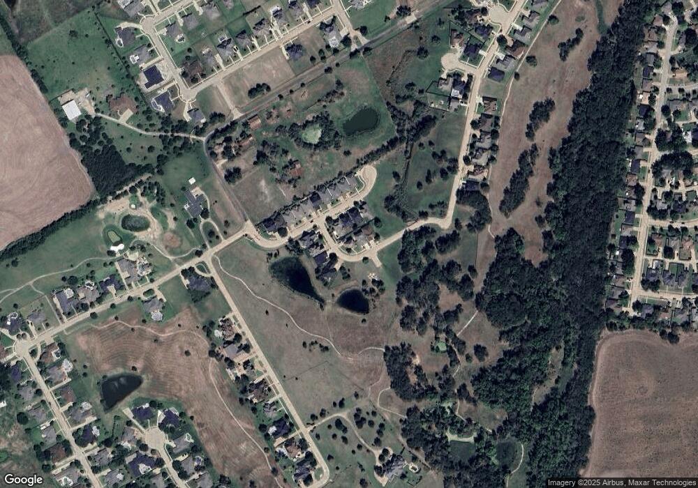
Map
Nearby Homes
- 1709 Carnoustie Dr
- 1703 Carnoustie Dr
- 2900 Terrytown Dr
- 2904 Terrytown Dr
- 2703 Sleepy Hollow Rd
- 2503 Saint Andrews Dr
- 1207 Louise Ln
- 1002 Hoylake Ct
- 2800 Boyd St
- 000 Sleepy Hollow Rd
- Lavon Plan at The Hollow
- Bowie Plan at The Hollow
- San Gabriel II Plan at The Hollow
- Cascade II Plan at The Hollow
- Bailey Plan at The Hollow
- Burnett Plan at The Hollow
- Briley Plan at The Hollow
- Basswood Plan at The Hollow
- 2810 Belmont Dr
- 801 Woodcrest Dr
- 1702 Carnoustie Dr
- 1705 Prestwick Ln
- 1707 Prestwick Ln
- 1700 Carnoustie Dr
- 1703 Prestwick Ln
- 1701 Prestwick Ln
- 1705 Carnoustie Dr
- 1707 Carnoustie Dr
- 1701 Carnoustie Dr
- 1711 Carnoustie Dr
- 1706 Prestwick Ln
- 1704 Prestwick Ln
- 1708 Prestwick Ln
- 1702 Prestwick Ln
- 1710 Prestwick Ln
- 1712 Prestwick Ln
- 1700 Prestwick Ln
- 1714 Prestwick Ln
- 1716 Prestwick Ln
- 1718 Prestwick Ln