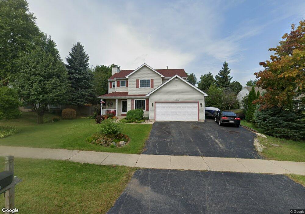
1704 Dusk Dr Zion, IL 60099
West Zion NeighborhoodEstimated Value: $339,000 - $368,000
3
Beds
3
Baths
1,952
Sq Ft
$179/Sq Ft
Est. Value
About This Home
This home is located at 1704 Dusk Dr, Zion, IL 60099 and is currently estimated at $349,487, approximately $179 per square foot. 1704 Dusk Dr is a home located in Lake County with nearby schools including Kenneth Murphy School, Beach Park Middle School, and Zion-Benton Township High School.
Ownership History
Date
Name
Owned For
Owner Type
Purchase Details
Closed on
Dec 2, 1994
Sold by
J Maki Construction Company
Bought by
Burgos Miguel A and Burgos Luz N
Current Estimated Value
Home Financials for this Owner
Home Financials are based on the most recent Mortgage that was taken out on this home.
Original Mortgage
$100,000
Interest Rate
8.87%
Purchase Details
Closed on
Jul 5, 1994
Sold by
Bank Of Waukegan
Bought by
J Maki Construction Co
Home Financials for this Owner
Home Financials are based on the most recent Mortgage that was taken out on this home.
Original Mortgage
$100,000
Interest Rate
8.38%
Mortgage Type
Construction
Create a Home Valuation Report for This Property
The Home Valuation Report is an in-depth analysis detailing your home's value as well as a comparison with similar homes in the area
Home Values in the Area
Average Home Value in this Area
Purchase History
| Date | Buyer | Sale Price | Title Company |
|---|---|---|---|
| Burgos Miguel A | $149,000 | -- | |
| J Maki Construction Co | $30,000 | -- |
Source: Public Records
Mortgage History
| Date | Status | Borrower | Loan Amount |
|---|---|---|---|
| Closed | Burgos Miguel A | $100,000 | |
| Previous Owner | J Maki Construction Co | $100,000 |
Source: Public Records
Tax History Compared to Growth
Tax History
| Year | Tax Paid | Tax Assessment Tax Assessment Total Assessment is a certain percentage of the fair market value that is determined by local assessors to be the total taxable value of land and additions on the property. | Land | Improvement |
|---|---|---|---|---|
| 2024 | $7,831 | $92,759 | $15,585 | $77,174 |
| 2023 | $8,285 | $77,292 | $12,986 | $64,306 |
| 2022 | $8,285 | $74,497 | $10,657 | $63,840 |
| 2021 | $8,118 | $69,884 | $9,997 | $59,887 |
| 2020 | $7,782 | $65,730 | $9,403 | $56,327 |
| 2019 | $7,522 | $61,229 | $8,759 | $52,470 |
| 2018 | $6,745 | $57,552 | $7,922 | $49,630 |
| 2017 | $6,898 | $53,388 | $7,349 | $46,039 |
| 2016 | $6,305 | $48,464 | $6,671 | $41,793 |
| 2015 | $5,952 | $43,974 | $6,053 | $37,921 |
| 2014 | $6,098 | $40,661 | $5,633 | $35,028 |
| 2012 | $6,604 | $43,303 | $5,999 | $37,304 |
Source: Public Records
Map
Nearby Homes
- 4539 Illinois 173
- 4533 Illinois 173
- 1524 Anderson Trail
- 41320 N Green Bay Rd
- 2010 Sunset Ct
- 4013 Ridge Rd
- 1302 Lorelei Dr
- 1210 Lorelei Dr
- 3717 Willow Crest Dr
- 12434 W Van Ct
- 4109 Sarah Dr
- 1304 Pelican Ct
- 2407 Phillip Dr
- 2414 Phillip Dr
- 908 Countrywood Dr
- 2407 Miriam Ave
- 2413 Michael Ave
- 1531 Southport Ct
- 0 9th St
- 3903 9th St