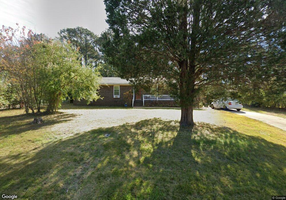
1704 Eastwood Ln West Point, AL 31833
Estimated Value: $178,000 - $218,000
3
Beds
2
Baths
1,498
Sq Ft
$132/Sq Ft
Est. Value
About This Home
This home is located at 1704 Eastwood Ln, West Point, AL 31833 and is currently estimated at $198,087, approximately $132 per square foot. 1704 Eastwood Ln is a home located in Troup County with nearby schools including West Point Elementary School, Long Cane Elementary School, and Whitesville Road Elementary School.
Ownership History
Date
Name
Owned For
Owner Type
Purchase Details
Closed on
Jun 30, 2022
Sold by
Morgan Jeffery N
Bought by
Fetters David Malcolm
Current Estimated Value
Home Financials for this Owner
Home Financials are based on the most recent Mortgage that was taken out on this home.
Original Mortgage
$149,380
Outstanding Balance
$142,118
Interest Rate
5.09%
Mortgage Type
New Conventional
Estimated Equity
$55,969
Purchase Details
Closed on
Mar 25, 2022
Sold by
Morgan Alice J
Bought by
Morgan Jeffery N and Morgan Vivian Jeanette
Purchase Details
Closed on
Jan 1, 1973
Bought by
Morgan Harold L and Morgan Alice J
Purchase Details
Closed on
Jan 1, 1968
Create a Home Valuation Report for This Property
The Home Valuation Report is an in-depth analysis detailing your home's value as well as a comparison with similar homes in the area
Home Values in the Area
Average Home Value in this Area
Purchase History
| Date | Buyer | Sale Price | Title Company |
|---|---|---|---|
| Fetters David Malcolm | $154,000 | -- | |
| Morgan Jeffery N | -- | -- | |
| Morgan Harold L | $2,500 | -- | |
| -- | -- | -- |
Source: Public Records
Mortgage History
| Date | Status | Borrower | Loan Amount |
|---|---|---|---|
| Open | Fetters David Malcolm | $149,380 |
Source: Public Records
Tax History Compared to Growth
Tax History
| Year | Tax Paid | Tax Assessment Tax Assessment Total Assessment is a certain percentage of the fair market value that is determined by local assessors to be the total taxable value of land and additions on the property. | Land | Improvement |
|---|---|---|---|---|
| 2024 | $2,265 | $64,012 | $8,000 | $56,012 |
| 2023 | $2,194 | $62,260 | $8,000 | $54,260 |
| 2022 | $910 | $32,620 | $4,000 | $28,620 |
| 2021 | $826 | $29,360 | $4,000 | $25,360 |
| 2020 | $826 | $29,360 | $4,000 | $25,360 |
| 2019 | $813 | $28,960 | $4,000 | $24,960 |
| 2018 | $711 | $25,560 | $2,000 | $23,560 |
| 2017 | $711 | $25,560 | $2,000 | $23,560 |
| 2016 | $688 | $24,809 | $2,000 | $22,809 |
| 2015 | $577 | $24,809 | $2,000 | $22,809 |
| 2014 | $686 | $24,661 | $2,000 | $22,661 |
| 2013 | -- | $26,320 | $2,000 | $24,320 |
Source: Public Records
Map
Nearby Homes
- 0 Sunset Dr Unit 10451831
- 1008 E 12th St
- 508 Pine St
- 1505 Wisteria Dr
- 0 Arrowhead Dr Unit 10451860
- 1903 Ridgewood Dr
- 713 Avenue H
- 0 Ga Highway 0116 Unit 10619139
- 509 Cleveland St
- 4517 Georgia 18
- 4509 Georgia 18
- 4523 Georgia 18
- 4527 Georgia 18
- 804 E 6th St
- 1410 Roper Ave
- 311 E 4th St
- 1314 4th Ave
- 1007 4th Ave
- 712 4th Ave
- 112 Hillcrest Rd
- 1704 Eastwood Ln
- 1706 Eastwood Ln
- 1702 Eastwood Ln
- 1700 Eastwood Ln
- 1705 Eastwood Ln
- 1707 Eastwood Ln
- 1703 Eastwood Ln
- 1710 Eastwood Ln
- 1701 Eastwood Ln
- 1711 Eastwood Ln
- 1712 Eastwood Ln
- 1213 Northview Dr
- 1211 Northview Dr
- 1714 Eastwood Ln
- 1209 Northview Dr
- 4599 O G Skinner Dr
- NA O G Skinner Dr
- O O G Skinner Dr
- 1213 Eastwood Ln
- 1715 Eastwood Ln