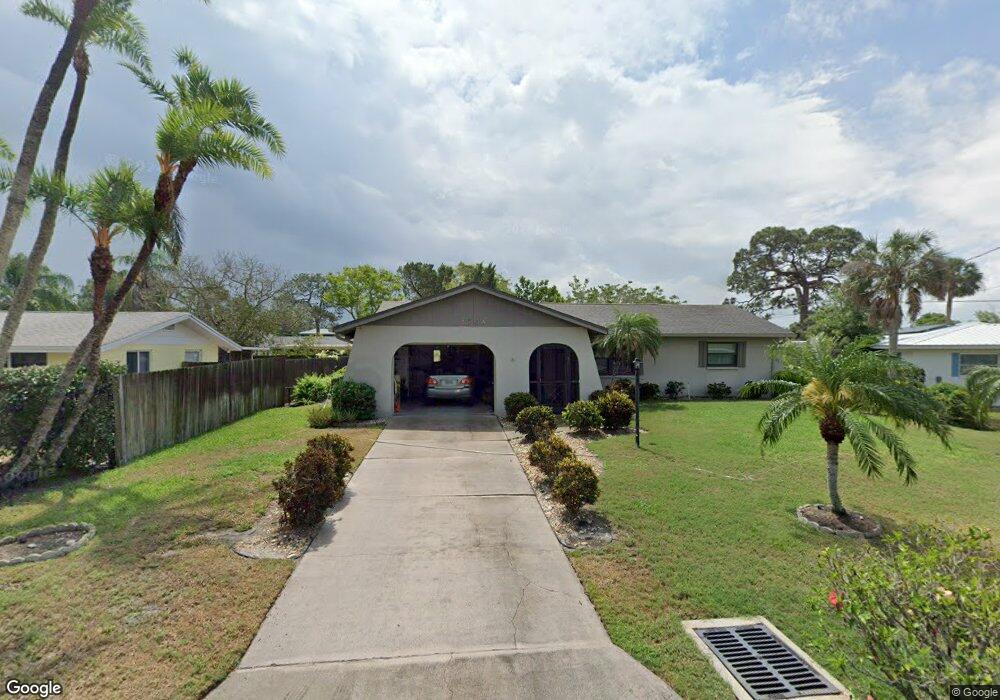
1704 Laramie St Sarasota, FL 34231
Coral Cove/Holiday Harbor NeighborhoodEstimated Value: $451,000 - $616,000
2
Beds
2
Baths
1,104
Sq Ft
$461/Sq Ft
Est. Value
About This Home
This home is located at 1704 Laramie St, Sarasota, FL 34231 and is currently estimated at $508,745, approximately $460 per square foot. 1704 Laramie St is a home located in Sarasota County with nearby schools including Gulf Gate Elementary School, Riverview High School, and Brookside Middle School.
Ownership History
Date
Name
Owned For
Owner Type
Purchase Details
Closed on
Jan 4, 2005
Sold by
Mannella Vincent and Mannella Dolores
Bought by
Steele Suzanne
Current Estimated Value
Home Financials for this Owner
Home Financials are based on the most recent Mortgage that was taken out on this home.
Original Mortgage
$100,000
Interest Rate
5.71%
Mortgage Type
Purchase Money Mortgage
Purchase Details
Closed on
Jul 6, 1995
Sold by
Lewis Lillian Christina and Lewis Ralph C
Bought by
Lewis Lillian Christina
Create a Home Valuation Report for This Property
The Home Valuation Report is an in-depth analysis detailing your home's value as well as a comparison with similar homes in the area
Home Values in the Area
Average Home Value in this Area
Purchase History
| Date | Buyer | Sale Price | Title Company |
|---|---|---|---|
| Steele Suzanne | $269,900 | -- | |
| Lewis Lillian Christina | -- | -- |
Source: Public Records
Mortgage History
| Date | Status | Borrower | Loan Amount |
|---|---|---|---|
| Closed | Steele Suzanne | $100,000 |
Source: Public Records
Tax History Compared to Growth
Tax History
| Year | Tax Paid | Tax Assessment Tax Assessment Total Assessment is a certain percentage of the fair market value that is determined by local assessors to be the total taxable value of land and additions on the property. | Land | Improvement |
|---|---|---|---|---|
| 2024 | $2,244 | $194,883 | -- | -- |
| 2023 | $2,244 | $189,207 | $0 | $0 |
| 2022 | $2,234 | $183,696 | $0 | $0 |
| 2021 | $2,184 | $178,346 | $0 | $0 |
| 2020 | $2,177 | $175,884 | $0 | $0 |
| 2019 | $2,087 | $171,930 | $0 | $0 |
| 2018 | $2,025 | $168,724 | $0 | $0 |
| 2017 | $1,906 | $156,862 | $0 | $0 |
| 2016 | $1,895 | $241,300 | $111,200 | $130,100 |
| 2015 | $1,925 | $228,000 | $112,200 | $115,800 |
| 2014 | $1,916 | $142,880 | $0 | $0 |
Source: Public Records
Map
Nearby Homes
- 1723 Laramie St
- 6738 Avenue D
- 1712 Cheyenne St
- 6780 Schooner Bay Cir Unit 6780
- 1849 Baywood Dr
- 1827 Baywood Dr
- 1752 Stickney Point Rd Unit 102
- 1753 Dawn St Unit 305
- 1758 Baywood Way
- 1640 Stickney Point Rd Unit 40-101
- 1602 Stickney Point Rd Unit 404
- 1618 Stickney Point Rd Unit 101
- 1618 Stickney Point Rd Unit 1618-202
- 1602 Stickney Point Rd Unit 305
- 1644 Stickney Point Rd Unit 102
- 1631 Stickney Point Rd
- 1731 Redwood St
- 1552 Stickney Point Rd Unit 403
- 2029 Sun Home St
- 2036 S Mobile Estates Dr
- 1730 Laramie St
- 6705 Avenue D
- 6715 Avenue D
- 1734 Laramie St
- 1729 Laramie St
- 1737 Pocatello St
- 6665 Avenue D
- 1737 Laramie St
- 6708 Avenue D
- 1620 Travis Ln Unit 1620
- 1620 Travis Ln
- 1750 Laramie St
- 6725 Avenue D
- 1722 Billings St
- 1745 Pocatello St
- 1728 Billings St
- 1714 Billings St
- 1745 Laramie St
- 1633 Pocatello St