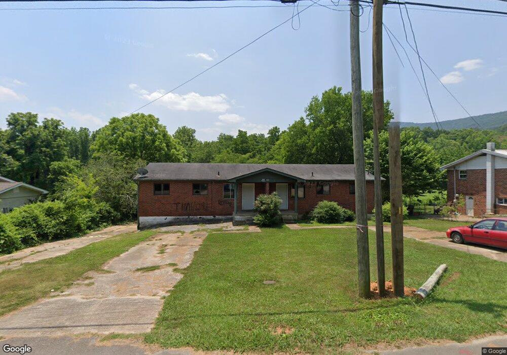
1704 N Cedar Ln Unit 1 Flintstone, GA 30725
High Point NeighborhoodEstimated Value: $71,047
--
Bed
--
Bath
1,701
Sq Ft
$42/Sq Ft
Est. Value
About This Home
This home is located at 1704 N Cedar Ln Unit 1, Flintstone, GA 30725 and is currently estimated at $71,047, approximately $41 per square foot. 1704 N Cedar Ln Unit 1 is a home located in Walker County with nearby schools including Chattanooga Valley Elementary School, Chattanooga Valley Middle School, and Ridgeland High School.
Ownership History
Date
Name
Owned For
Owner Type
Purchase Details
Closed on
Aug 15, 2019
Sold by
Plemons Robert E
Bought by
Lynn David
Current Estimated Value
Purchase Details
Closed on
Mar 27, 2003
Sold by
Dawn Wayne H and Dawn Martha
Bought by
Plemons Robert E and Plemons Nancy M
Purchase Details
Closed on
Apr 1, 1985
Sold by
Hamilton Jo Ann
Bought by
Dawn Wayne H and Dawn Martha
Purchase Details
Closed on
Nov 17, 1982
Sold by
Floyd Charlie E
Bought by
Hamilton Jo Ann
Purchase Details
Closed on
Mar 25, 1967
Bought by
Floyd Charlie E
Create a Home Valuation Report for This Property
The Home Valuation Report is an in-depth analysis detailing your home's value as well as a comparison with similar homes in the area
Home Values in the Area
Average Home Value in this Area
Purchase History
| Date | Buyer | Sale Price | Title Company |
|---|---|---|---|
| Lynn David | $36,320 | -- | |
| Plemons Robert E | $100,000 | -- | |
| Dawn Wayne H | -- | -- | |
| Hamilton Jo Ann | $54,000 | -- | |
| Floyd Charlie E | -- | -- |
Source: Public Records
Tax History Compared to Growth
Tax History
| Year | Tax Paid | Tax Assessment Tax Assessment Total Assessment is a certain percentage of the fair market value that is determined by local assessors to be the total taxable value of land and additions on the property. | Land | Improvement |
|---|---|---|---|---|
| 2024 | $932 | $21,270 | $6,630 | $14,640 |
| 2023 | $1,425 | $44,636 | $5,100 | $39,536 |
| 2022 | $1,038 | $27,443 | $2,051 | $25,392 |
| 2021 | $1,106 | $27,443 | $2,051 | $25,392 |
| 2020 | $788 | $31,014 | $2,051 | $28,963 |
| 2019 | $1,244 | $31,014 | $2,051 | $28,963 |
| 2018 | $821 | $31,014 | $2,051 | $28,963 |
| 2017 | $1,330 | $31,014 | $2,051 | $28,963 |
| 2016 | $1,159 | $31,014 | $2,051 | $28,963 |
| 2015 | $1,597 | $45,956 | $2,492 | $43,464 |
| 2014 | $1,359 | $45,956 | $2,492 | $43,464 |
| 2013 | -- | $45,956 | $2,492 | $43,464 |
Source: Public Records
Map
Nearby Homes
- 7820 Highway 193
- 57 Fir St
- 0 Roundtree Ct Unit 1514898
- 0 Roundtree Ct Unit RTC2914889
- 852 Old Grand Center Rd
- 1080 Harp Switch Rd
- 301 Hidden Oaks Dr
- 426 Simmons Tawzer Rd
- 433 Stanford Dr
- 206 Cottage Crest Ct
- 2255 Nick-A Jack Rd
- 144 N Victor Dr
- 3509 N Highway N 341
- 60 Red Oak Ridge Dr
- 3269 N Highway 341
- 780 Marble Top Rd
- 810 Marble Top Rd
- 1907 Grand Center Rd
- 0 Maple Hill Rd Unit 7527469
- 0 Maple Hill Rd Unit LOT 9A 10467227
- 1704 N Cedar Ln
- 1688 N Cedar Ln
- 1722 N Cedar Ln
- 1742 N Cedar Ln
- 1764 N Cedar Ln
- 1751 N Cedar Ln
- 1812 N Cedar Ln
- 7684 Highway 193
- 2150 N Cedar Ln
- 2170 N Cedar Ln
- 2175 N Cedar Ln
- 7566 Highway 193
- 1635 N Cedar Ln
- 7504 Highway 193
- 46 Hays Hollow Rd
- 7656 Highway 193
- 66 Hays Hollow Rd
- 7442 Highway 193
- 7372 Highway 193
- 7575 Highway 193