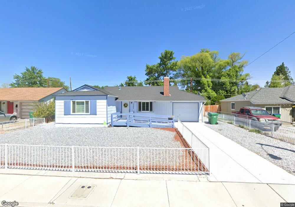
1704 Probasco Way Sparks, NV 89431
McCarran Boulevard-Probasco NeighborhoodEstimated Value: $394,000 - $438,000
3
Beds
1
Bath
1,445
Sq Ft
$287/Sq Ft
Est. Value
About This Home
This home is located at 1704 Probasco Way, Sparks, NV 89431 and is currently estimated at $415,402, approximately $287 per square foot. 1704 Probasco Way is a home located in Washoe County with nearby schools including Greenbrae Elementary School, George L Dilworth Middle School, and Sparks High School.
Ownership History
Date
Name
Owned For
Owner Type
Purchase Details
Closed on
Sep 12, 2014
Sold by
Neylan James F and Neylan Debra L
Bought by
Neylan James F and Neylan Debra L
Current Estimated Value
Purchase Details
Closed on
Jun 14, 2005
Sold by
Neylan James F
Bought by
Neylan James F and Neylan Debra L
Purchase Details
Closed on
Feb 18, 2005
Sold by
Neylan Debra L
Bought by
Neylan James F
Purchase Details
Closed on
Jan 31, 2005
Sold by
Eames M Katherine and Eames John R
Bought by
Neylan James F
Create a Home Valuation Report for This Property
The Home Valuation Report is an in-depth analysis detailing your home's value as well as a comparison with similar homes in the area
Home Values in the Area
Average Home Value in this Area
Purchase History
| Date | Buyer | Sale Price | Title Company |
|---|---|---|---|
| Neylan James F | -- | None Available | |
| Neylan James F | -- | -- | |
| Neylan James F | -- | Ticor Title Co Of California | |
| Neylan James F | -- | Ticor Title Co Of California |
Source: Public Records
Tax History Compared to Growth
Tax History
| Year | Tax Paid | Tax Assessment Tax Assessment Total Assessment is a certain percentage of the fair market value that is determined by local assessors to be the total taxable value of land and additions on the property. | Land | Improvement |
|---|---|---|---|---|
| 2026 | -- | $63,308 | $34,090 | $29,218 |
| 2025 | $791 | $54,595 | $33,565 | $21,030 |
| 2024 | $791 | $50,765 | $30,065 | $20,700 |
| 2023 | $768 | $50,488 | $31,325 | $19,163 |
| 2022 | $746 | $41,771 | $26,180 | $15,591 |
| 2021 | $725 | $33,187 | $17,955 | $15,232 |
| 2020 | $702 | $31,889 | $16,940 | $14,949 |
| 2019 | $672 | $29,687 | $15,890 | $13,797 |
| 2018 | $653 | $24,959 | $11,725 | $13,234 |
| 2017 | $634 | $23,384 | $10,395 | $12,989 |
| 2016 | $618 | $22,353 | $9,345 | $13,008 |
| 2015 | $170 | $20,456 | $7,700 | $12,756 |
| 2014 | $599 | $18,439 | $6,440 | $11,999 |
| 2013 | -- | $15,909 | $4,270 | $11,639 |
Source: Public Records
Map
Nearby Homes
- 8 E O St
- 370 O'Brien Way
- 181 Quail St
- 109 M St
- 115 P St
- 2021 1st St
- 10 Sheridan Way
- 1940 4th St Unit 20
- 1940 4th St Unit 51
- 1945 4th St Unit 32
- 1945 4th St Unit 33
- 1945 4th St Unit 51
- 97 Prater Way
- 119 Devere Way
- 828 Woodglen Dr Unit 2
- 801 Woodglen Dr Unit 2
- 949 Crestwood Dr Unit 3
- 1029 Brooktree Dr Unit 1
- 3071 Meadowlands Dr
- 1973 Rio Tinto Dr
- 1706 Probasco Way
- 1614 Probasco Way
- 122 Rodger Cir
- 1708 Probasco Way
- 1612 Probasco Way
- 121 Rodger Cir
- 1703 Probasco Way
- 132 Rodger Cir
- 121 Brooks Cir
- 1707 Probasco Way
- 1608 Probasco Way
- 1710 Probasco Way
- 1607 Probasco Way
- 131 Rodger Cir
- 131 Brooks Cir
- 39 E P St
- 182 Rodger Cir
- 1804 Probasco Way
- 102 E Greenbrae Dr