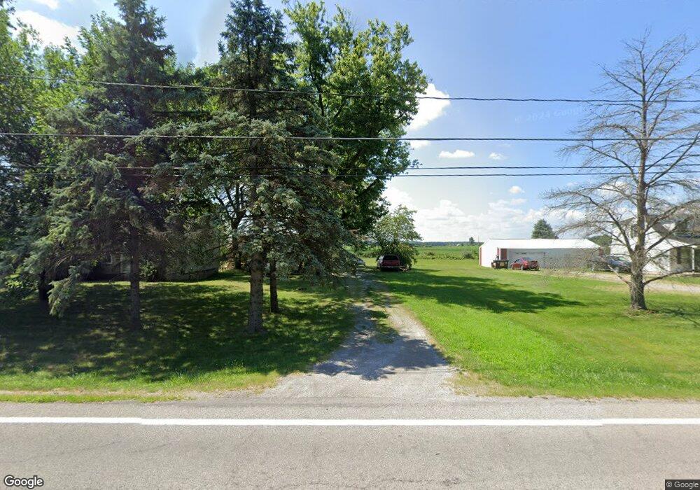
17045 State Route 2 Wauseon, OH 43567
Estimated Value: $153,977 - $277,000
2
Beds
1
Bath
1,088
Sq Ft
$187/Sq Ft
Est. Value
About This Home
This home is located at 17045 State Route 2, Wauseon, OH 43567 and is currently estimated at $203,244, approximately $186 per square foot. 17045 State Route 2 is a home located in Fulton County with nearby schools including Pettisville Elementary School, Pettisville High School, and New Horizons Academy at Sara's Garden.
Ownership History
Date
Name
Owned For
Owner Type
Purchase Details
Closed on
May 4, 2018
Sold by
Shaw Douglas W
Bought by
Shaw Douglas W & Cheryl M Trustees
Current Estimated Value
Purchase Details
Closed on
Aug 21, 1998
Sold by
Stamm Jan H
Bought by
Shaw Douglas W and Shaw Cheryl M
Home Financials for this Owner
Home Financials are based on the most recent Mortgage that was taken out on this home.
Original Mortgage
$53,600
Interest Rate
6.99%
Mortgage Type
New Conventional
Purchase Details
Closed on
Jan 1, 1990
Bought by
Keller Henry H and Keller Ruby I
Create a Home Valuation Report for This Property
The Home Valuation Report is an in-depth analysis detailing your home's value as well as a comparison with similar homes in the area
Home Values in the Area
Average Home Value in this Area
Purchase History
| Date | Buyer | Sale Price | Title Company |
|---|---|---|---|
| Shaw Douglas W & Cheryl M Trustees | -- | -- | |
| Shaw Douglas W | $67,000 | -- | |
| Keller Henry H | -- | -- |
Source: Public Records
Mortgage History
| Date | Status | Borrower | Loan Amount |
|---|---|---|---|
| Previous Owner | Shaw Douglas W | $53,600 |
Source: Public Records
Tax History Compared to Growth
Tax History
| Year | Tax Paid | Tax Assessment Tax Assessment Total Assessment is a certain percentage of the fair market value that is determined by local assessors to be the total taxable value of land and additions on the property. | Land | Improvement |
|---|---|---|---|---|
| 2024 | $1,818 | $42,530 | $13,370 | $29,160 |
| 2023 | $1,818 | $42,530 | $13,370 | $29,160 |
| 2022 | $1,606 | $31,960 | $11,130 | $20,830 |
| 2021 | $1,684 | $31,960 | $11,130 | $20,830 |
| 2020 | $1,554 | $31,960 | $11,130 | $20,830 |
| 2019 | $1,393 | $28,640 | $10,050 | $18,590 |
| 2018 | $1,224 | $28,640 | $10,050 | $18,590 |
| 2017 | $1,218 | $28,640 | $10,050 | $18,590 |
| 2016 | $1,194 | $26,080 | $10,050 | $16,030 |
| 2015 | $1,108 | $26,080 | $10,050 | $16,030 |
| 2014 | $1,106 | $26,080 | $10,050 | $16,030 |
| 2013 | $1,191 | $24,890 | $7,950 | $16,940 |
Source: Public Records
Map
Nearby Homes
- 17020 State Route 2
- 16020 County Road D
- 15819 County Road D
- 744 Fairway Dr
- 4427 County Road 19
- 749 Parkside Dr
- 604 W Leggett St
- 420 Clover Ln
- 208 N Brunell St
- 263 W Chestnut St
- 234 W Chestnut St
- 227 Wabash St
- 204 Jefferson St
- 115 W Leggett St
- 115 W Superior St
- 1235 N Ottokee St
- 1270 S Park Ln
- 125 Cherry St
- 1338 N Park Ln
- 218 Cherry St
- 17091 State Route 2
- 4951 County Road 17
- 17121 State Route 2
- 16891 State Route 2
- 17247 State Route 2
- 16757 State Route 2
- 16756 State Route 2
- 5310 County Road 17
- 17425 State Route 2
- 16619 State Route 2
- 16580 State Route 2
- 17511 State Route 2
- 17530 State Route 2
- 16520 State Route 2
- 16485 State Route 2
- 17609 State Route 2
- 16466 State Route 2
- 5548 County Road 17
- 5557 County Road 17
- 16449 State Route 2