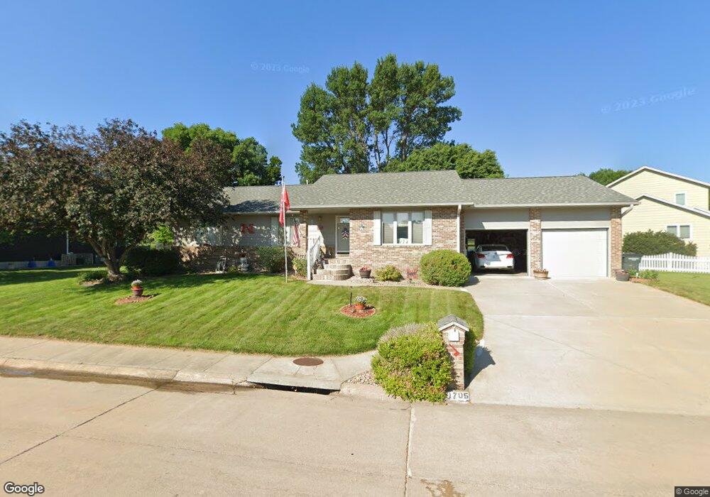
1705 Apache Ave Hastings, NE 68901
Estimated Value: $267,000 - $476,000
3
Beds
2
Baths
2,054
Sq Ft
$167/Sq Ft
Est. Value
About This Home
This home is located at 1705 Apache Ave, Hastings, NE 68901 and is currently estimated at $342,642, approximately $166 per square foot. 1705 Apache Ave is a home located in Adams County with nearby schools including Hastings Senior High School, St. Michael's Preschool & Elementary School, and Zion Lutheran School.
Ownership History
Date
Name
Owned For
Owner Type
Purchase Details
Closed on
Oct 5, 2005
Sold by
Debus Bruce E and Debus Jayne V
Bought by
Bruntz Dennis R and Bruntz Marilyn J
Current Estimated Value
Home Financials for this Owner
Home Financials are based on the most recent Mortgage that was taken out on this home.
Original Mortgage
$67,000
Interest Rate
5.65%
Mortgage Type
New Conventional
Create a Home Valuation Report for This Property
The Home Valuation Report is an in-depth analysis detailing your home's value as well as a comparison with similar homes in the area
Home Values in the Area
Average Home Value in this Area
Purchase History
| Date | Buyer | Sale Price | Title Company |
|---|---|---|---|
| Bruntz Dennis R | $197,000 | None Available |
Source: Public Records
Mortgage History
| Date | Status | Borrower | Loan Amount |
|---|---|---|---|
| Closed | Bruntz Dennis R | $67,000 |
Source: Public Records
Tax History Compared to Growth
Tax History
| Year | Tax Paid | Tax Assessment Tax Assessment Total Assessment is a certain percentage of the fair market value that is determined by local assessors to be the total taxable value of land and additions on the property. | Land | Improvement |
|---|---|---|---|---|
| 2024 | $3,343 | $253,162 | $34,650 | $218,512 |
| 2023 | $2,707 | $220,385 | $34,650 | $185,735 |
| 2022 | $4,878 | $216,565 | $34,650 | $181,915 |
| 2021 | $1,899 | $213,678 | $31,763 | $181,915 |
| 2020 | $4,607 | $213,678 | $31,763 | $181,915 |
| 2019 | $3,177 | $213,678 | $31,763 | $181,915 |
| 2018 | $4,397 | $205,015 | $23,100 | $181,915 |
| 2017 | $4,071 | $201,450 | $0 | $0 |
| 2016 | $4,070 | $189,780 | $23,100 | $166,680 |
| 2011 | -- | $0 | $20,790 | $155,600 |
Source: Public Records
Map
Nearby Homes
- 1402 Arapahoe Ave
- 1314 N Laird Ave
- 1802 Westchester Dr
- 2708 Edgewood Ln
- 2616 Butterfoot Ln
- 1225 Heritage Dr
- 1330 Heritage Dr
- 1513 Crane Ave
- 1505 Crane Ave
- 2330 W 11th St
- 1201 Pershing Rd
- 2501 W 10th St
- 1223 Westwood Terrace
- 1911 W 11th St
- 2416 W 9th St
- 2707 W 9th St
- 2521 Boyce St
- 1814 Boyce St
- 2229 W 8th St
- 736 N Barnes Ave
- 1721 Apache Ave
- 1627 Apache Ave
- 1700 Apache Ave
- 1706 Apache Ave
- 1617 Apache Ave
- 1620 Apache Ave
- 1718 Apache Ave
- 1710 Apache Ave
- 1616 Apache Ave
- 1613 Apache Ave
- 1612 Apache Ave
- 1518 Arapahoe Ave
- 1607 Apache Ave
- 1606 Apache Ave
- 1514 Arapahoe Ave
- 1601 Apache Ave
- 1600 Apache Ave
- 2013 Crane Circle Dr
- 2016 Crane Circle Dr
- 1521 Arapahoe Ave