Estimated Value: $333,000 - $532,000
3
Beds
4
Baths
2,769
Sq Ft
$154/Sq Ft
Est. Value
About This Home
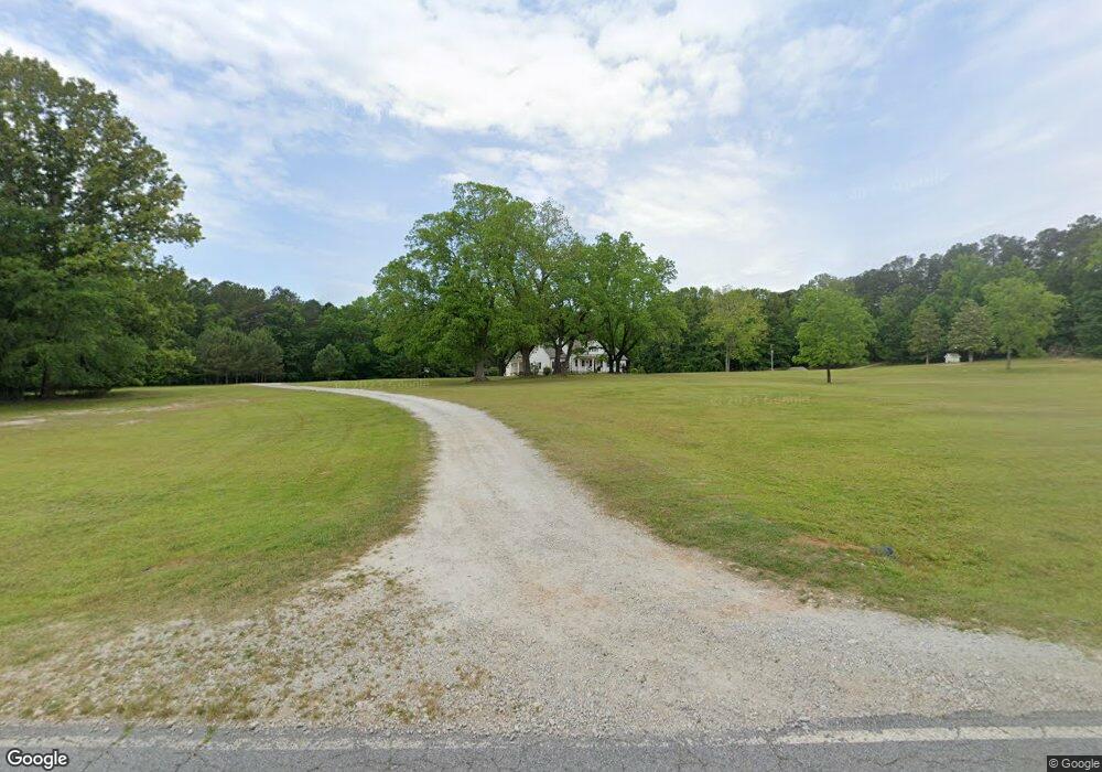
This home is located at 1705 Bartram Trace Rd, Rayle, GA 30660 and is currently estimated at $425,841, approximately $153 per square foot. 1705 Bartram Trace Rd is a home located in Wilkes County with nearby schools including Washington-Wilkes Elementary School, Washington-Wilkes Primary School, and Washington-Wilkes Middle School.
Ownership History
Date
Name
Owned For
Owner Type
Purchase Details
Closed on
Jun 14, 2019
Sold by
Poss Franklin
Bought by
Taylor Maurice E and Taylor Whitney S
Current Estimated Value
Purchase Details
Closed on
Mar 15, 2017
Sold by
F
Bought by
Poss Franklin
Purchase Details
Closed on
Jun 1, 2016
Sold by
Poss Kenneth
Bought by
F & M Bank
Purchase Details
Closed on
Aug 6, 2013
Sold by
Hubbard Mary
Bought by
F & M Bank
Purchase Details
Closed on
Sep 1, 1982
Bought by
Poss Kenneth
Purchase Details
Closed on
Jan 1, 1972
Create a Home Valuation Report for This Property
The Home Valuation Report is an in-depth analysis detailing your home's value as well as a comparison with similar homes in the area
Purchase History
| Date | Buyer | Sale Price | Title Company |
|---|---|---|---|
| Taylor Maurice E | $32,500 | -- | |
| Poss Franklin | $25,500 | -- | |
| F & M Bank | -- | -- | |
| F & M Bank | $7,500 | -- | |
| Poss Kenneth | $10,000 | -- | |
| -- | $1,600 | -- |
Source: Public Records
Tax History
| Year | Tax Paid | Tax Assessment Tax Assessment Total Assessment is a certain percentage of the fair market value that is determined by local assessors to be the total taxable value of land and additions on the property. | Land | Improvement |
|---|---|---|---|---|
| 2025 | $3,215 | $113,022 | $15,211 | $97,811 |
| 2024 | $3,270 | $113,022 | $15,211 | $97,811 |
| 2023 | $3,217 | $113,022 | $15,211 | $97,811 |
| 2022 | $3,217 | $113,022 | $15,211 | $97,811 |
| 2021 | $3,293 | $113,022 | $15,211 | $97,811 |
| 2020 | $386 | $20,311 | $15,211 | $5,100 |
| 2019 | $607 | $20,311 | $15,211 | $5,100 |
| 2018 | $590 | $20,311 | $15,211 | $5,100 |
| 2017 | $725 | $24,950 | $12,285 | $12,665 |
| 2016 | $721 | $24,950 | $12,285 | $12,665 |
| 2015 | -- | $12,285 | $12,285 | $12,665 |
| 2014 | -- | $24,950 | $12,285 | $12,665 |
| 2013 | -- | $25,042 | $12,285 | $12,756 |
Source: Public Records
Map
Nearby Homes
- 0 Bartram Trace Rd
- 0 Bartram Trace Rd Unit 10677883
- 0 Thaxton Rd Unit 10696641
- 5111 Greensboro Rd
- 0 Quaker Springs Rd Unit 10691164
- 2242 Crawfordville Rd
- 2514 Greensboro Rd
- 310 Philomath Woodville Rd
- 0 Silas Mercer Rd NE Unit 10364766
- 625 Happy Hollow Rd
- 900 Center Hill Rd
- 0 Saggus Rd Unit 10580223
- 3445 Silas Mercer Rd NE
- 732 Hilliard Station Rd
- 1044 Sardis Rd
- 520 Jackson St
- 403 Jackson St
- 402 Peachtree St
- 4316 Sharon Rd
- 203 Peter St
- 1779 Bartram Trace Rd
- 000 Bartram Trace Rd
- 1615 Bartram Trace Rd
- 1555 Bartram Trace Rd
- 1658 Bartram Trace Rd
- 1834 Bartram Trace Rd
- 1784 Bartram Trace Rd
- 1940 Bartram Trace Rd
- 1403 Bartram Trace Rd
- 1402 Bartram Trace Rd
- 1361 Bartram Trace Rd
- 1254 Bartram Trace Rd
- 2195 Bartram Trace Rd
- 1144 Bartram Trace Rd
- 1167 Bartram Trace Rd
- 1100 Bartram Trace Rd
Your Personal Tour Guide
Ask me questions while you tour the home.