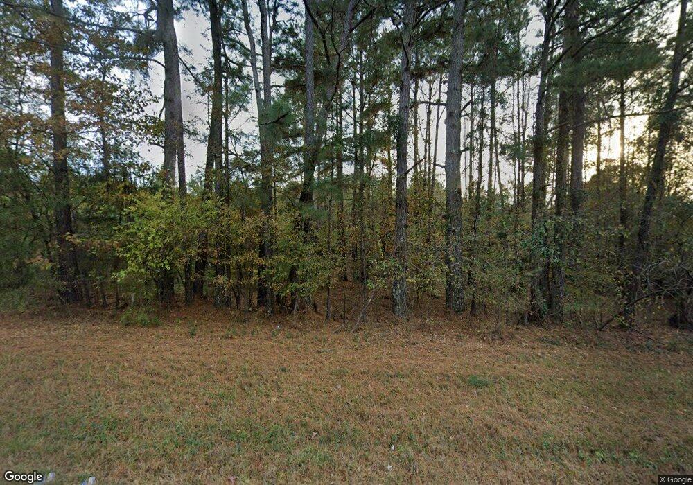
1705 Cedar Rock Rd Thomson, GA 30824
Estimated Value: $546,000 - $602,510
3
Beds
3
Baths
2,815
Sq Ft
$204/Sq Ft
Est. Value
About This Home
This home is located at 1705 Cedar Rock Rd, Thomson, GA 30824 and is currently estimated at $574,255, approximately $203 per square foot. 1705 Cedar Rock Rd is a home located in McDuffie County with nearby schools including Thomson High School.
Ownership History
Date
Name
Owned For
Owner Type
Purchase Details
Closed on
Nov 3, 2017
Sold by
Flynn Lawrence A
Bought by
Flynn Nadine K
Current Estimated Value
Purchase Details
Closed on
May 8, 2012
Sold by
Flynn Lawrence A
Bought by
Flynn Nadine K
Purchase Details
Closed on
Apr 2, 2010
Sold by
Norris Debbie A
Bought by
Flynn Lawrence A
Purchase Details
Closed on
Oct 21, 1997
Sold by
Mcneill John T
Bought by
Flynn Lawrence A
Create a Home Valuation Report for This Property
The Home Valuation Report is an in-depth analysis detailing your home's value as well as a comparison with similar homes in the area
Home Values in the Area
Average Home Value in this Area
Purchase History
| Date | Buyer | Sale Price | Title Company |
|---|---|---|---|
| Flynn Nadine K | -- | -- | |
| Flynn Nadine K | -- | -- | |
| Flynn Lawrence A | -- | -- | |
| Flynn Lawrence A | -- | -- |
Source: Public Records
Tax History Compared to Growth
Tax History
| Year | Tax Paid | Tax Assessment Tax Assessment Total Assessment is a certain percentage of the fair market value that is determined by local assessors to be the total taxable value of land and additions on the property. | Land | Improvement |
|---|---|---|---|---|
| 2025 | $4,292 | $219,309 | $41,153 | $178,156 |
| 2024 | $4,292 | $206,087 | $37,075 | $169,012 |
| 2023 | $4,202 | $199,031 | $37,075 | $161,956 |
| 2022 | $3,648 | $169,673 | $37,075 | $132,598 |
| 2021 | $2,910 | $138,316 | $35,994 | $102,322 |
| 2020 | $3,239 | $187,170 | $76,241 | $110,929 |
| 2019 | $3,270 | $187,170 | $76,241 | $110,929 |
| 2018 | $3,167 | $187,170 | $76,241 | $110,929 |
| 2017 | $2,455 | $187,170 | $76,241 | $110,929 |
| 2016 | $2,747 | $187,170 | $76,241 | $110,929 |
| 2015 | $2,530 | $140,900 | $28,322 | $112,579 |
| 2014 | $2,530 | $140,900 | $28,322 | $112,579 |
| 2013 | -- | $140,900 | $28,321 | $112,578 |
Source: Public Records
Map
Nearby Homes
- 1403 Tanyard Creek Dr
- 209 Hoey St
- 325 Bordeaux Dr
- 00 Three Points Rd
- 875 Earle St
- 599 Twin Oaks Rd
- 249 Seymour Dr S
- 334 Bordeaux Dr
- 359 Bordeaux Dr
- 357 Bordeaux Dr
- 353 Bordeaux Dr
- 355 Bordeaux Dr
- 352 Bordeaux Dr
- 344 Bordeaux Dr
- 358 Bordeaux Dr
- 319 Bordeaux Dr
- 314 Bordeaux Dr
- 0 Earle St
- 640 Dogwood Dr
- 1673 Cedar Rock Rd
- 1641 Cedar Rock Rd Unit 3
- 1641 Cedar Rock Rd
- 1603 Mattox Creek Rd
- 1601 Cedar Rock Rd
- 1589 Mattox Creek Dr
- 1638 Cedar Rock Rd
- 1545 Mattox Creek Dr
- 1622 Mattox Creek Dr
- 1560 Mattox Creek Dr
- 1540 Mattox Creek Dr
- 1576 Cedar Rock Rd
- 1514 Mattox Creek Dr
- 1674 Mattox Creek Dr
- 1438 Tanyard Creek Dr
- 1705 Mattox Creek Dr
- 1475 Cedar Rock Rd
- 1746 Mattox Creek Dr
- 1935 Cedar Rock Rd
- 1957 Cedar Rock Rd
