1705 Dorset Dr Tarrytown, NY 10591
Estimated Value: $757,000 - $841,079
3
Beds
3
Baths
1,761
Sq Ft
$448/Sq Ft
Est. Value
About This Home
This home is located at 1705 Dorset Dr, Tarrytown, NY 10591 and is currently estimated at $789,520, approximately $448 per square foot. 1705 Dorset Dr is a home located in Westchester County with nearby schools including Carl L. Dixson Elementary School, Alice E. Grady Elementary School, and Alexander Hamilton High School.
Ownership History
Date
Name
Owned For
Owner Type
Purchase Details
Closed on
Dec 2, 2022
Sold by
Yannone Wayne
Bought by
Rubin Mojgan
Current Estimated Value
Purchase Details
Closed on
Jan 12, 2009
Sold by
Mafaraci Ronald V and Mafaraci Lydia P
Bought by
Yannone Wayne
Home Financials for this Owner
Home Financials are based on the most recent Mortgage that was taken out on this home.
Original Mortgage
$300,000
Interest Rate
5.51%
Mortgage Type
Unknown
Purchase Details
Closed on
Sep 19, 2002
Sold by
Calderone Philip and Calderone Lori
Bought by
Mafaraci Ronald and Mafaraci Lydia P
Home Financials for this Owner
Home Financials are based on the most recent Mortgage that was taken out on this home.
Original Mortgage
$140,000
Interest Rate
6.17%
Mortgage Type
Unknown
Create a Home Valuation Report for This Property
The Home Valuation Report is an in-depth analysis detailing your home's value as well as a comparison with similar homes in the area
Home Values in the Area
Average Home Value in this Area
Purchase History
| Date | Buyer | Sale Price | Title Company |
|---|---|---|---|
| Rubin Mojgan | $675,000 | -- | |
| Yannone Wayne | $545,000 | Chicago Title Insurance Co | |
| Mafaraci Ronald | $423,000 | Chicago Title Insurance Co |
Source: Public Records
Mortgage History
| Date | Status | Borrower | Loan Amount |
|---|---|---|---|
| Previous Owner | Yannone Wayne | $300,000 | |
| Previous Owner | Mafaraci Ronald | $140,000 |
Source: Public Records
Tax History Compared to Growth
Tax History
| Year | Tax Paid | Tax Assessment Tax Assessment Total Assessment is a certain percentage of the fair market value that is determined by local assessors to be the total taxable value of land and additions on the property. | Land | Improvement |
|---|---|---|---|---|
| 2024 | $16,800 | $618,200 | $159,000 | $459,200 |
| 2023 | $17,183 | $652,500 | $190,700 | $461,800 |
| 2022 | $15,492 | $618,500 | $182,800 | $435,700 |
| 2021 | $15,841 | $567,400 | $182,800 | $384,600 |
| 2020 | $15,997 | $561,000 | $182,800 | $378,200 |
| 2019 | $21,448 | $561,000 | $182,800 | $378,200 |
| 2018 | $14,426 | $541,000 | $182,800 | $358,200 |
| 2017 | $5,519 | $520,900 | $182,800 | $338,100 |
| 2016 | $312,066 | $500,900 | $182,800 | $318,100 |
| 2015 | -- | $13,800 | $1,650 | $12,150 |
| 2014 | -- | $13,800 | $1,650 | $12,150 |
| 2013 | $9,713 | $13,800 | $1,650 | $12,150 |
Source: Public Records
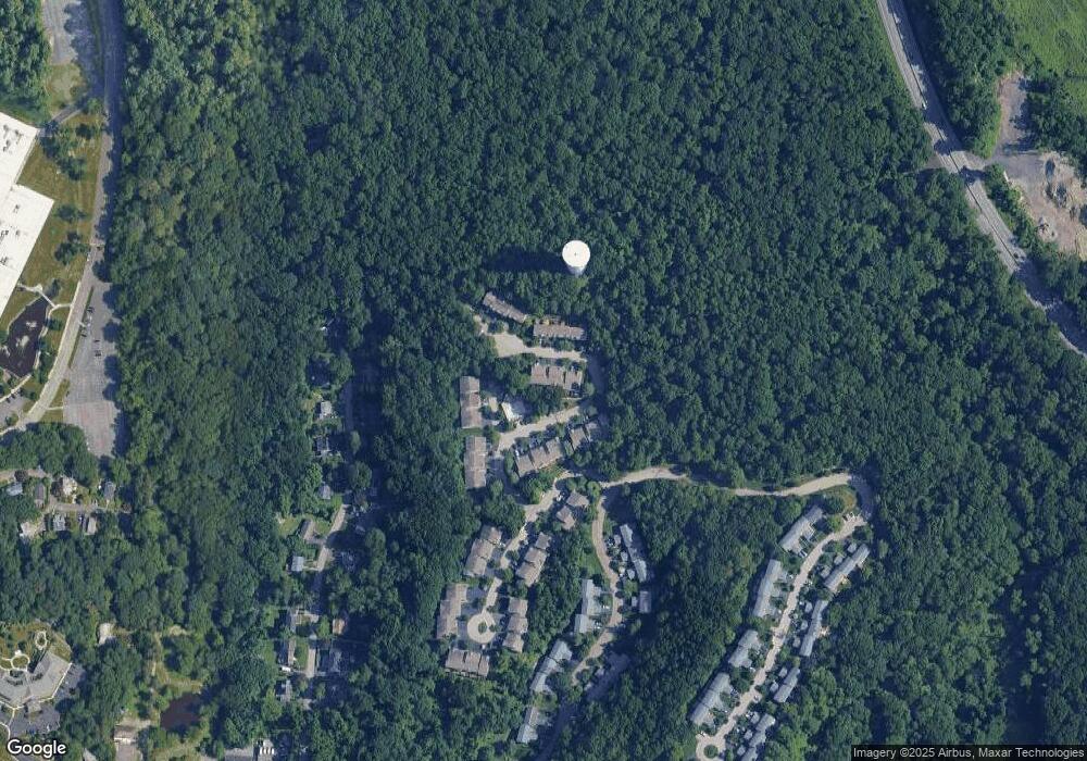
Map
Nearby Homes
- 2104 Watch Hill Dr
- 46 Trailhead Ln
- 25 Glen Hill Ln Unit 25
- 560 Taxter Rd
- 410 Benedict Ave Unit 5E
- 412 Benedict Ave Unit 5H
- 2 Nob Hill Dr
- 10 Nob Hill Dr
- 151 N Evarts Ave
- 151 N Evarts Ave Unit 2
- 300 Sheldon Ave
- 9 S Lawn Ave
- 140 Winthrop Ave
- 98 N Evarts Ave
- 20 S Stone Ave
- 166 Sears Ave
- 497 Martling Ave
- North S Lawn Ave
- 73 Sears Ave
- 94 Barnes Rd
- 1704 Dorset Dr
- 1706 Dorset Dr
- 1703 Dorset Dr
- 1702 Dorset Dr Unit 1702
- 1701 Dorset Dr
- 1805 Dorset Dr
- 1806 Dorset Dr
- 1804 Dorset Dr
- 1803 Dorset Dr
- 1802 Dorset Dr
- 1801 Dorset Dr
- 1901 Dorset Dr
- 1902 Dorset Dr
- 1601 Dorset Dr
- 1506 Dorset Dr
- 1602 Dorset Dr
- 1406 Chadwick Ct
- 1405 Chadwick Ct
- 1603 Dorset Dr
- 1505 Dorset Dr