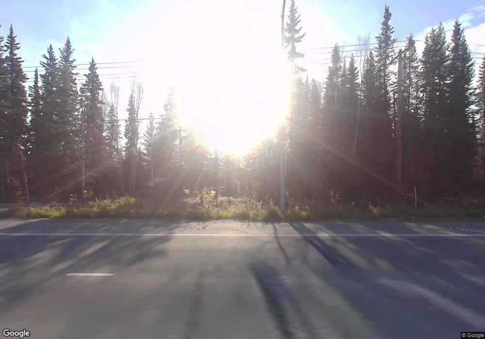
1705 Farmers Loop Rd Fairbanks, AK 99709
College NeighborhoodEstimated Value: $117,000 - $286,767
3
Beds
4
Baths
1,330
Sq Ft
$158/Sq Ft
Est. Value
About This Home
This home is located at 1705 Farmers Loop Rd, Fairbanks, AK 99709 and is currently estimated at $209,692, approximately $157 per square foot. 1705 Farmers Loop Rd is a home located in Fairbanks North Star Borough with nearby schools including Pearl Creek Elementary School, Randy Smith Middle School, and West Valley High School.
Ownership History
Date
Name
Owned For
Owner Type
Purchase Details
Closed on
Jan 7, 2004
Sold by
Delgado Priscilla L
Bought by
Delgado Priscilla L
Current Estimated Value
Home Financials for this Owner
Home Financials are based on the most recent Mortgage that was taken out on this home.
Original Mortgage
$82,827
Interest Rate
6.02%
Create a Home Valuation Report for This Property
The Home Valuation Report is an in-depth analysis detailing your home's value as well as a comparison with similar homes in the area
Home Values in the Area
Average Home Value in this Area
Purchase History
| Date | Buyer | Sale Price | Title Company |
|---|---|---|---|
| Delgado Priscilla L | -- | -- |
Source: Public Records
Mortgage History
| Date | Status | Borrower | Loan Amount |
|---|---|---|---|
| Closed | Delgado Priscilla L | $82,827 |
Source: Public Records
Tax History Compared to Growth
Tax History
| Year | Tax Paid | Tax Assessment Tax Assessment Total Assessment is a certain percentage of the fair market value that is determined by local assessors to be the total taxable value of land and additions on the property. | Land | Improvement |
|---|---|---|---|---|
| 2025 | $393 | $217,317 | $30,665 | $186,652 |
| 2024 | $368 | $215,582 | $30,665 | $184,917 |
| 2023 | $2,705 | $215,582 | $30,665 | $184,917 |
| 2022 | $115 | $199,071 | $30,665 | $168,406 |
| 2021 | $2,888 | $176,287 | $30,665 | $145,622 |
| 2020 | $26 | $168,957 | $30,665 | $138,292 |
| 2019 | $2,863 | $167,826 | $30,665 | $137,161 |
| 2018 | $20 | $167,370 | $30,665 | $136,705 |
| 2017 | $12 | $164,410 | $30,665 | $133,745 |
| 2016 | $2,413 | $161,133 | $30,665 | $130,468 |
| 2015 | -- | $157,856 | $30,665 | $127,191 |
| 2014 | -- | $157,856 | $30,665 | $127,191 |
Source: Public Records
Map
Nearby Homes
- 1818 Valley hi Dr
- 1788 Army Rd
- 255 Henrik Ct
- 1901 Kittiwake Dr
- 561 Nature Trail Unit 567, 547, 549 Nature
- 1421 Ithaca Rd
- NHN Shuros Dr
- 3195 College Rd Unit 5
- 2724 Mack Blvd
- 2828 Totem Dr
- 2826 Totem Dr
- 1543 Porchet Way
- 1738 Alaska Way
- 959 Reindeer Dr
- 1684 Alaska Way
- 1867 Fern St
- 1412 Aspen St
- 2009 Southern Ave
- 1911 Southern Ave
- 1628 Cottonwood St
- 1713 Farmers Loop Rd
- 1695 Farmers Loop Rd
- 450 Sun Way
- 461 Auburn Dr
- 1686 Farmers Loop Rd
- 470 Auburn Dr
- 1728 Farmers Loop Rd
- 1665 Farmers Loop Rd
- 449 Sun Way
- 469 Auburn Dr
- 466 Sun Way
- 1736 Farmers Loop Rd Unit 1744 Farmers Loop Ro
- 1735 Rise Rd
- 475 Auburn Dr
- 1732 Rise Rd
- 1744 Farmers Loop Rd Unit 1736 Farmers Loop
- 1747 Rise Rd
- 486 Sun Way
- 1639 Farmers Loop Rd
- 1672 Farmers Loop Rd
