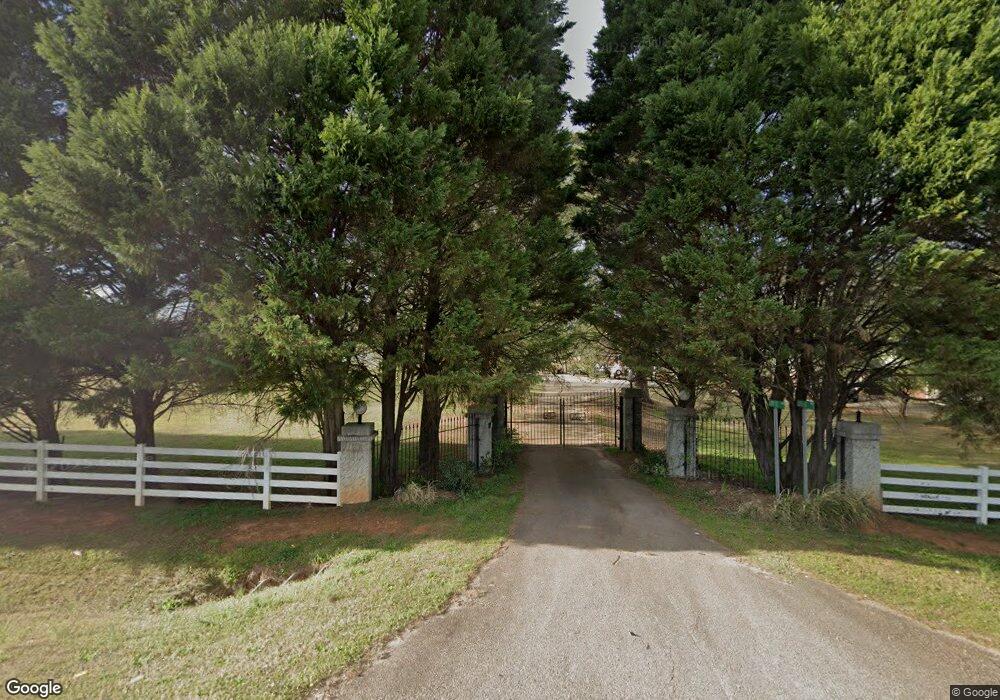
1705 Highway 81 E McDonough, GA 30252
Estimated Value: $409,000 - $952,297
3
Beds
3
Baths
2,807
Sq Ft
$220/Sq Ft
Est. Value
About This Home
This home is located at 1705 Highway 81 E, McDonough, GA 30252 and is currently estimated at $617,099, approximately $219 per square foot. 1705 Highway 81 E is a home located in Henry County with nearby schools including New Hope Elementary School, Ola Middle School, and New Creation Christian Academy.
Ownership History
Date
Name
Owned For
Owner Type
Purchase Details
Closed on
Feb 28, 2012
Sold by
Lee Mary Ann
Bought by
Heathcock Tammy L and Lee Testamentary Trust
Current Estimated Value
Purchase Details
Closed on
Feb 27, 2012
Sold by
Lee Family Trust
Bought by
Heathcock Tammy L and Lee Testamentary Trust
Create a Home Valuation Report for This Property
The Home Valuation Report is an in-depth analysis detailing your home's value as well as a comparison with similar homes in the area
Home Values in the Area
Average Home Value in this Area
Purchase History
| Date | Buyer | Sale Price | Title Company |
|---|---|---|---|
| Heathcock Tammy L | -- | -- | |
| The Lloyd And Mary Lee Family | -- | -- | |
| The Lloyd And Mary Lee Family | -- | -- | |
| The Lloyd And Mary Lee Family | -- | -- | |
| The Lloyd And Mary Lee Family | -- | -- | |
| Heathcock Tammy L | -- | -- |
Source: Public Records
Tax History Compared to Growth
Tax History
| Year | Tax Paid | Tax Assessment Tax Assessment Total Assessment is a certain percentage of the fair market value that is determined by local assessors to be the total taxable value of land and additions on the property. | Land | Improvement |
|---|---|---|---|---|
| 2025 | $10,586 | $399,240 | $148,680 | $250,560 |
| 2024 | $10,586 | $326,200 | $130,400 | $195,800 |
| 2023 | $7,912 | $312,400 | $122,080 | $190,320 |
| 2022 | $6,704 | $273,120 | $113,760 | $159,360 |
| 2021 | $5,705 | $237,680 | $103,800 | $133,880 |
| 2020 | $5,673 | $227,440 | $93,840 | $133,600 |
| 2019 | $5,521 | $215,680 | $85,520 | $130,160 |
| 2018 | $5,105 | $190,960 | $68,360 | $122,600 |
| 2016 | $4,637 | $173,760 | $62,840 | $110,920 |
| 2015 | $4,837 | $171,280 | $58,680 | $112,600 |
| 2014 | -- | $153,480 | $58,680 | $94,800 |
Source: Public Records
Map
Nearby Homes
- 1891 Highway 81 E
- 1926 King Mill Rd
- 1916 King Mill Rd
- 1936 King Mill Rd
- 120 N Bethany Rd
- 1449 Highway 81 E
- 242 Old Jackson Rd
- 136 Crown Forest Dr
- 275 S Bethany Rd
- 315 S Bethany Rd
- 325 Rosser Rd
- 461 Old Jackson Rd
- 125 Steeplechase Dr
- 150 Sterling Ave
- 5 Wellington Dr
- 239 Darwish Dr
- 153 Hilda Way
- 205 Calvery Way
- 136 Hilda Way
- 469 Kimberly Ct
- 1675 Highway 81 E
- 1745 Highway 81 E
- 1665 Highway 81 E
- 1782 Highway 81 E
- 0 Old Jackson Rd Unit 14.5+/- ACRES
- 0 Old Jackson Rd Unit 20132543
- 0 Old Jackson Rd Unit 20022320
- 0 Old Jackson Rd Unit 20015651
- 0 Old Jackson Rd Unit 20010983
- 0 Old Jackson Rd Unit 7596110
- 0 Old Jackson Rd Unit 7382948
- 0 Old Jackson Rd Unit 7596077
- 0 Old Jackson Rd Unit 7195920
- 0 Old Jackson Rd Unit 3273501
- 0 Old Jackson Rd Unit 9039665
- 0 Old Jackson Rd Unit 9025253
- 0 Old Jackson Rd Unit 6884620
- 0 Old Jackson Rd Unit 8169184
- 0 Old Jackson Rd Unit 8288617
- 0 Old Jackson Rd Unit 8399494