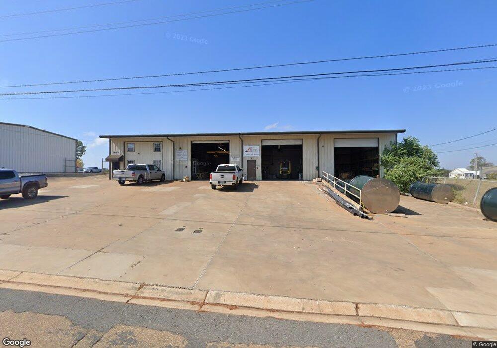
1705 Link Dr Ruston, LA 71270
Estimated Value: $240,362
Studio
--
Bath
6,206
Sq Ft
$39/Sq Ft
Est. Value
About This Home
This home is located at 1705 Link Dr, Ruston, LA 71270 and is currently estimated at $240,362, approximately $38 per square foot. 1705 Link Dr is a home located in Lincoln Parish with nearby schools including Hillcrest Elementary School, Ruston Elementary School, and Ruston Junior High School.
Ownership History
Date
Name
Owned For
Owner Type
Purchase Details
Closed on
Jul 30, 2021
Sold by
Stone Flower Llc
Bought by
Ramsey Group Llc
Current Estimated Value
Home Financials for this Owner
Home Financials are based on the most recent Mortgage that was taken out on this home.
Original Mortgage
$164,569
Outstanding Balance
$148,093
Interest Rate
2.93%
Mortgage Type
Purchase Money Mortgage
Estimated Equity
$92,269
Create a Home Valuation Report for This Property
The Home Valuation Report is an in-depth analysis detailing your home's value as well as a comparison with similar homes in the area
Purchase History
| Date | Buyer | Sale Price | Title Company |
|---|---|---|---|
| Ramsey Group Llc | $212,500 | None Available | |
| Creekside Investments Llc | $212,500 | None Available |
Source: Public Records
Mortgage History
| Date | Status | Borrower | Loan Amount |
|---|---|---|---|
| Open | Creekside Investments Llc | $164,569 | |
| Closed | Ramsey Group Llc | $158,809 |
Source: Public Records
Tax History
| Year | Tax Paid | Tax Assessment Tax Assessment Total Assessment is a certain percentage of the fair market value that is determined by local assessors to be the total taxable value of land and additions on the property. | Land | Improvement |
|---|---|---|---|---|
| 2025 | $4,243 | $49,711 | $20,750 | $28,961 |
| 2024 | $4,243 | $49,711 | $20,750 | $28,961 |
| 2023 | $3,984 | $44,826 | $14,950 | $29,876 |
| 2022 | $4,003 | $44,826 | $14,950 | $29,876 |
| 2021 | $3,706 | $44,826 | $14,950 | $29,876 |
| 2020 | $3,725 | $44,826 | $14,950 | $29,876 |
| 2019 | $3,454 | $42,532 | $14,950 | $27,582 |
| 2018 | $3,369 | $42,532 | $14,950 | $27,582 |
| 2017 | $3,369 | $42,532 | $14,950 | $27,582 |
| 2016 | $3,355 | $0 | $0 | $0 |
| 2015 | $2,549 | $29,673 | $7,800 | $21,873 |
| 2013 | $2,589 | $29,673 | $7,800 | $21,873 |
Source: Public Records
Map
Nearby Homes
- 1727 Trade Dr
- 910 Laura Ln
- 905 Tarreyton Dr
- 0 Louisiana 33
- 2104 Greenbriar Dr
- 1406 Brewster Ave
- 1414 Brewster Ave
- 0 S Service Rd E
- 2605 Foxxwood Dr
- 2502 S Service Rd E
- 2003 Jonathan Dr
- 0 Willow Glen Dr
- 804 Quitman St
- 1815 E Georgia Ave
- 2805 Post Oak Dr
- 2420 Highway 33
- 0 E Georgia Ave Unit 218298
- 2900 Post Oak Dr
- 322 N Bernard St
- 1709 Rampart Dr
- 1609 Industrial Dr
- 1609 Industrial Dr Unit 1607 Industrial Driv
- 1607 Industrial Dr Unit 1609 Industrial Driv
- 1607 Industrial Dr
- 0 Industrial Dr Unit No municipal address
- 1500 E Kentucky Ave
- 1706 Trade Dr Unit 1712 Trade Drive
- 1809 Northpointe Ln Unit LA Hwy 33 N
- 1821 Industrial Dr
- 1800 Trade Dr
- 1917 Farmerville Hwy
- 1821 Northpointe Ln
- 2025 Farmerville Hwy
- 1923 Industrial Dr
- 2102 Floyd Park Dr Unit Suite 3
- 2102 Floyd Park Dr Unit Suite 4
- 1906 Farmerville Hwy
- 2019 Farmerville Hwy
- Lot 51 Unit 3 Industrial Dr
- 1716 Celebrity Dr
Your Personal Tour Guide
Ask me questions while you tour the home.