1705 Mansion Rd Block Island, RI 02807
Estimated Value: $699,000 - $1,559,000
3
Beds
2
Baths
1,331
Sq Ft
$996/Sq Ft
Est. Value
About This Home
This home is located at 1705 Mansion Rd, Block Island, RI 02807 and is currently estimated at $1,325,924, approximately $996 per square foot. 1705 Mansion Rd is a home with nearby schools including Block Island School.
Ownership History
Date
Name
Owned For
Owner Type
Purchase Details
Closed on
Oct 4, 2022
Sold by
Littlefield April J
Bought by
Rusin Thomas and Rusin Katrina
Current Estimated Value
Home Financials for this Owner
Home Financials are based on the most recent Mortgage that was taken out on this home.
Original Mortgage
$150,000
Outstanding Balance
$143,453
Interest Rate
5.55%
Mortgage Type
Purchase Money Mortgage
Estimated Equity
$1,182,471
Create a Home Valuation Report for This Property
The Home Valuation Report is an in-depth analysis detailing your home's value as well as a comparison with similar homes in the area
Home Values in the Area
Average Home Value in this Area
Purchase History
| Date | Buyer | Sale Price | Title Company |
|---|---|---|---|
| Rusin Thomas | $200,000 | None Available |
Source: Public Records
Mortgage History
| Date | Status | Borrower | Loan Amount |
|---|---|---|---|
| Open | Rusin Thomas | $150,000 |
Source: Public Records
Tax History Compared to Growth
Tax History
| Year | Tax Paid | Tax Assessment Tax Assessment Total Assessment is a certain percentage of the fair market value that is determined by local assessors to be the total taxable value of land and additions on the property. | Land | Improvement |
|---|---|---|---|---|
| 2024 | $4,158 | $753,200 | $427,700 | $325,500 |
| 2023 | $4,564 | $758,100 | $427,700 | $330,400 |
| 2022 | $3,818 | $539,200 | $379,600 | $159,600 |
| 2021 | $3,613 | $539,200 | $379,600 | $159,600 |
| 2020 | $3,429 | $539,200 | $379,600 | $159,600 |
| 2019 | $3,321 | $539,200 | $379,600 | $159,600 |
| 2018 | $3,278 | $550,880 | $379,600 | $171,280 |
| 2017 | $3,228 | $550,880 | $379,600 | $171,280 |
| 2016 | $3,151 | $550,880 | $379,600 | $171,280 |
| 2015 | $3,838 | $696,600 | $474,500 | $222,100 |
| 2014 | $3,720 | $696,600 | $474,500 | $222,100 |
| 2013 | $3,629 | $696,600 | $474,500 | $222,100 |
Source: Public Records
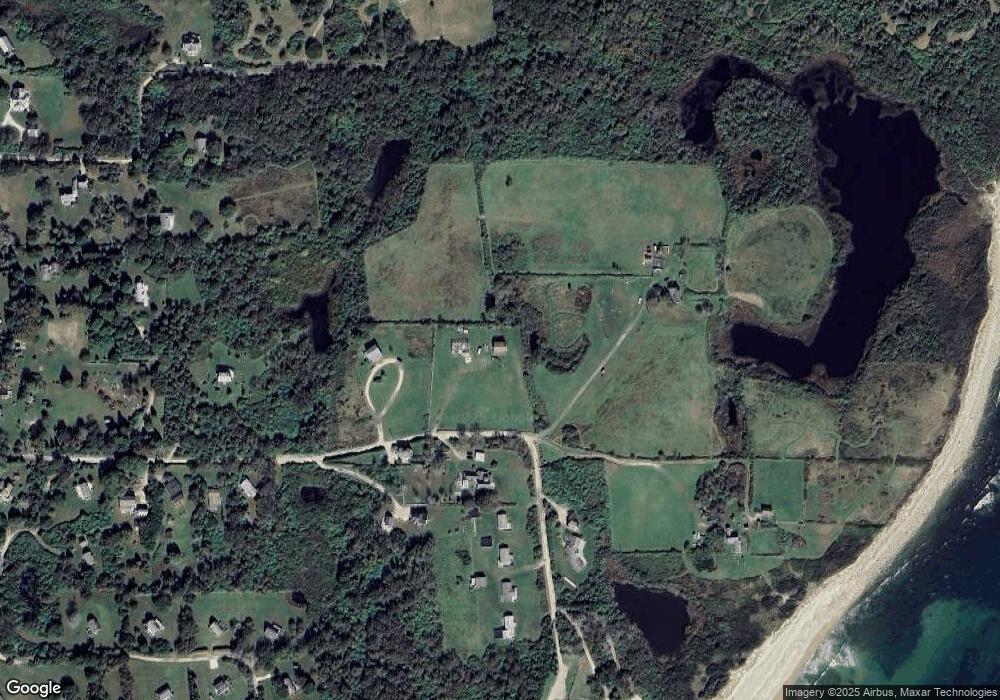
Map
Nearby Homes
- 1078 W Beach Rd
- 1720 Corn Neck Rd
- 1713 Corn Neck Rd
- 721 Corn Neck Rd
- 1743 Corn Neck Rd
- 751 Corn Neck Rd
- 0 Coast Guard Rd
- 481 Old Town Rd
- 256 High St
- 1210 Graces Cove Rd
- 1289 High St
- 1501 Beacon Hill Rd
- 1557 W Side Rd
- 194 Pilot Hill Rd
- 0 Southeast Rd Unit 1381406
- 0 Spring St
- 1087 Lakeside Dr
- 1596 W Side Rd
- 1661 Sand Pond Rd
- 0 Pilot Hill Rd
- 1705 Corn Neck Rd
- 1760 Mansion Rd
- 694 Mansion Rd
- 1781 Corn Neck Rd
- 1759 Mansion Rd
- 697 Mansion Rd
- 698 Mansion Rd
- 1784 Corn Neck Rd
- 1781 Mansion Rd
- 701 Mansion Rd
- 700 Mansion Rd
- 693 Corn Neck Rd
- 692 Mansion Rd
- 695 Corn Neck Rd
- 1059 Corn Neck Rd
- 714 Corn Neck Rd
- 1740 Corn Neck Rd
- 691 Corn Neck Rd
- 1141 Mansion Rd
- 690 Corn Neck Rd