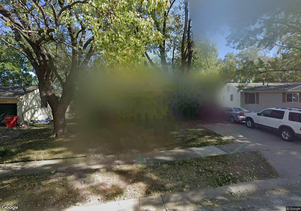
1705 N Viking Dr Independence, MO 64058
Estimated Value: $168,000 - $191,000
3
Beds
1
Bath
825
Sq Ft
$221/Sq Ft
Est. Value
About This Home
This home is located at 1705 N Viking Dr, Independence, MO 64058 and is currently estimated at $182,343, approximately $221 per square foot. 1705 N Viking Dr is a home located in Jackson County with nearby schools including Fort Osage High School.
Ownership History
Date
Name
Owned For
Owner Type
Purchase Details
Closed on
May 22, 2002
Sold by
Brosam Judith C
Bought by
Holtcamp Carl R and Holtcamp Kristina R
Current Estimated Value
Home Financials for this Owner
Home Financials are based on the most recent Mortgage that was taken out on this home.
Original Mortgage
$78,380
Outstanding Balance
$33,074
Interest Rate
6.92%
Mortgage Type
FHA
Estimated Equity
$149,269
Create a Home Valuation Report for This Property
The Home Valuation Report is an in-depth analysis detailing your home's value as well as a comparison with similar homes in the area
Purchase History
| Date | Buyer | Sale Price | Title Company |
|---|---|---|---|
| Holtcamp Carl R | -- | -- |
Source: Public Records
Mortgage History
| Date | Status | Borrower | Loan Amount |
|---|---|---|---|
| Open | Holtcamp Carl R | $78,380 |
Source: Public Records
Tax History
| Year | Tax Paid | Tax Assessment Tax Assessment Total Assessment is a certain percentage of the fair market value that is determined by local assessors to be the total taxable value of land and additions on the property. | Land | Improvement |
|---|---|---|---|---|
| 2025 | $2,336 | $19,097 | $3,300 | $15,797 |
| 2024 | $2,315 | $26,119 | $3,272 | $22,847 |
| 2023 | $2,315 | $26,119 | $2,185 | $23,934 |
| 2022 | $1,351 | $14,440 | $4,000 | $10,440 |
| 2021 | $1,352 | $14,440 | $4,000 | $10,440 |
| 2020 | $1,310 | $13,784 | $4,000 | $9,784 |
| 2019 | $1,284 | $13,784 | $4,000 | $9,784 |
| 2018 | $936 | $10,006 | $1,653 | $8,353 |
| 2017 | $936 | $10,006 | $1,653 | $8,353 |
| 2016 | $751 | $8,701 | $2,273 | $6,428 |
Source: Public Records
Map
Nearby Homes
- 1715 N Viking Dr
- 18310 E 18th St N
- 1824 Vista Dr
- 18407 E Lexington Rd
- 1511 Osage Trail
- 1600 N Dover St
- 18901 E Lynchburg Place N
- 19115 E Roxsbury Ln
- 19200 E 14th St N
- 18001 E 12th St N
- 1219 N Atherton Rd
- 1113 N Swope Dr
- 1124 N Ponca Dr
- 18404 E Blackhawk Trail
- 1207 N Atherton Rd
- 2103 N York Rd
- 2011 N Hines Rd
- 17805 E Union School Rd
- 19704 E 14th Terrace N
- 17304 E Bundschu Rd
- 1707 N Viking Dr
- 1703 N Viking Dr
- 1709 N Viking Dr
- 1704 N Viking Dr
- 1700 N Viking Dr
- 1701 N Viking Dr
- 1711 N Viking Dr
- 1706 N Arapaho Ct
- 18202 E 17th Street Ct N
- 1704 N Arapaho Ct
- 1710 N Viking Dr
- 18200 E 17th Street Ct N
- 18105 E 17th St N
- 18105 E 17 St N
- 1713 N Viking Dr
- 18103 E 17th Terrace N
- 1712 N Viking Dr
- 1708 N Arapaho Ct
- 18204 E 17th Street Ct N
- 18201 E 17th Street Ct N
Your Personal Tour Guide
Ask me questions while you tour the home.