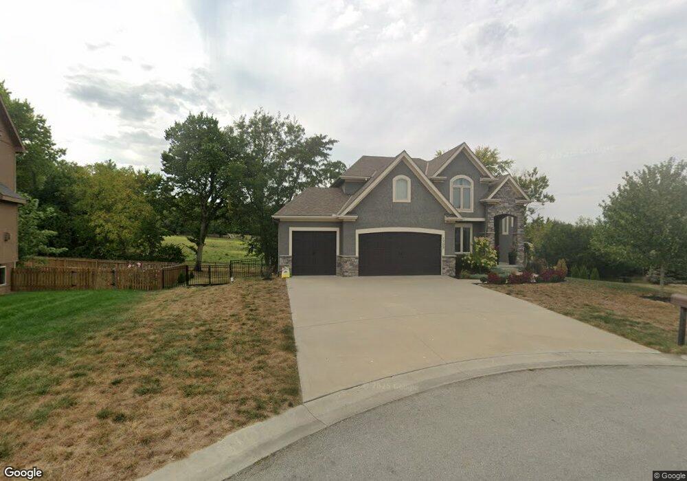
1705 NW Cottonwood Cir Grain Valley, MO 64029
Estimated Value: $551,000 - $750,000
5
Beds
4
Baths
2,929
Sq Ft
$210/Sq Ft
Est. Value
About This Home
This home is located at 1705 NW Cottonwood Cir, Grain Valley, MO 64029 and is currently estimated at $616,013, approximately $210 per square foot. 1705 NW Cottonwood Cir is a home with nearby schools including Grain Valley High School.
Ownership History
Date
Name
Owned For
Owner Type
Purchase Details
Closed on
Jul 30, 2015
Sold by
Mcgraw Homes Inc
Bought by
English Jared and English Keri
Current Estimated Value
Home Financials for this Owner
Home Financials are based on the most recent Mortgage that was taken out on this home.
Original Mortgage
$294,728
Outstanding Balance
$231,485
Interest Rate
4.07%
Mortgage Type
VA
Estimated Equity
$384,528
Purchase Details
Closed on
Mar 11, 2015
Sold by
Ward Development & Investment Co
Bought by
Mcgraw Homes Inc
Create a Home Valuation Report for This Property
The Home Valuation Report is an in-depth analysis detailing your home's value as well as a comparison with similar homes in the area
Home Values in the Area
Average Home Value in this Area
Purchase History
| Date | Buyer | Sale Price | Title Company |
|---|---|---|---|
| English Jared | -- | None Available | |
| Mcgraw Homes Inc | -- | First American Title Co |
Source: Public Records
Mortgage History
| Date | Status | Borrower | Loan Amount |
|---|---|---|---|
| Open | English Jared | $294,728 |
Source: Public Records
Tax History Compared to Growth
Tax History
| Year | Tax Paid | Tax Assessment Tax Assessment Total Assessment is a certain percentage of the fair market value that is determined by local assessors to be the total taxable value of land and additions on the property. | Land | Improvement |
|---|---|---|---|---|
| 2025 | $8,950 | $107,546 | $12,873 | $94,673 |
| 2024 | $8,615 | $108,659 | $10,520 | $98,139 |
| 2023 | $8,615 | $108,659 | $12,665 | $95,994 |
| 2022 | $7,372 | $81,320 | $9,876 | $71,444 |
| 2021 | $7,199 | $81,320 | $9,876 | $71,444 |
| 2020 | $6,942 | $77,349 | $9,876 | $67,473 |
| 2019 | $6,801 | $77,349 | $9,876 | $67,473 |
| 2018 | $1,739,745 | $67,319 | $8,596 | $58,723 |
| 2017 | $6,335 | $67,319 | $8,596 | $58,723 |
| 2016 | $6,219 | $66,120 | $5,510 | $60,610 |
| 2014 | $2 | $20 | $20 | $0 |
Source: Public Records
Map
Nearby Homes
- 1515 NW Whispering Ct
- 816 NW Cedar Ln
- 2003 NW Elmwood Dr
- 1310 NW Sycamore Dr
- 1403 NW Burr Oak Ct
- 1103 NW Hickory Ct
- 1702 NW Hedgewood Dr
- 952 NW Maplewood Ct
- 804 NW Hickory Ridge Dr
- 803 NW Hickory Ridge Dr
- 801 NW Hickory Ridge Dr
- 1601 NW Nicholas Dr
- 809 NW Poplar Ct
- 2211 NW Hedgewood Dr
- 408 NW Rust Ct
- 1800 NW Mya Ct
- 401 NW Europa Dr
- 505 NW Whitney Dr
- TBD E Duncan Rd
- 912 NW Hickorywood Dr
- 1707 NW Cottonwood Cir
- 1703 NW Cottonwood Cir
- 1706 NW Cottonwood Cir
- 1701 NW Cottonwood Cir
- 1405 NW Cedar Ct
- 1704 NW Cottonwood Cir
- 1702 NW Cottonwood Cir
- 1407 NW Cedar Ct
- 1403 NW Cedar Ct
- 1700 NW Cottonwood Cir
- 1611 NW Cottonwood Cir
- 1705 NW Woodbury Dr
- 1703 NW Woodbury Dr
- 1612 NW Cottonwood Cir
- 1401 NW Cedar Ct
- 1406 NW Cedar Ct
- 1701 NW Woodbury Dr
- 1609 NW Cottonwood Cir
- 1611 NW Woodbury Dr
- 1610 NW Cottonwood Cir