1705 S Fork Rd Sylvania, GA 30467
Estimated Value: $365,000 - $406,141
3
Beds
2
Baths
2,913
Sq Ft
$134/Sq Ft
Est. Value
About This Home
This home is located at 1705 S Fork Rd, Sylvania, GA 30467 and is currently estimated at $389,285, approximately $133 per square foot. 1705 S Fork Rd is a home located in Screven County with nearby schools including Screven County Elementary School, Screven County Middle School, and Screven County High School.
Ownership History
Date
Name
Owned For
Owner Type
Purchase Details
Closed on
May 5, 2025
Sold by
Lane Keri Lynn
Bought by
Elliott Ryan
Current Estimated Value
Home Financials for this Owner
Home Financials are based on the most recent Mortgage that was taken out on this home.
Original Mortgage
$415,000
Outstanding Balance
$413,528
Interest Rate
6.64%
Mortgage Type
New Conventional
Estimated Equity
-$24,243
Purchase Details
Closed on
May 26, 2024
Sold by
Lane Melissa Jean
Bought by
Lane Keri Lynn
Purchase Details
Closed on
Mar 16, 2011
Sold by
Lane Barbara J
Bought by
Lane Melissa Jean
Purchase Details
Closed on
May 12, 1977
Sold by
Sharpe George
Bought by
Sasser Lillian and Lane Barbara J
Create a Home Valuation Report for This Property
The Home Valuation Report is an in-depth analysis detailing your home's value as well as a comparison with similar homes in the area
Home Values in the Area
Average Home Value in this Area
Purchase History
| Date | Buyer | Sale Price | Title Company |
|---|---|---|---|
| Elliott Ryan | $415,000 | -- | |
| Lane Keri Lynn | -- | -- | |
| Lane Keri Lynn | -- | -- | |
| Lane Melissa Jean | $22,000 | -- | |
| Sasser Lillian | $4,000 | -- |
Source: Public Records
Mortgage History
| Date | Status | Borrower | Loan Amount |
|---|---|---|---|
| Open | Elliott Ryan | $415,000 |
Source: Public Records
Tax History Compared to Growth
Tax History
| Year | Tax Paid | Tax Assessment Tax Assessment Total Assessment is a certain percentage of the fair market value that is determined by local assessors to be the total taxable value of land and additions on the property. | Land | Improvement |
|---|---|---|---|---|
| 2024 | $2,348 | $83,124 | $7,880 | $75,244 |
| 2023 | $2,329 | $80,084 | $7,880 | $72,204 |
| 2022 | $2,061 | $70,484 | $7,560 | $62,924 |
| 2021 | $1,971 | $64,284 | $7,560 | $56,724 |
| 2020 | $1,970 | $62,304 | $7,240 | $55,064 |
| 2019 | $2,008 | $63,632 | $7,240 | $56,392 |
| 2018 | $1,823 | $63,652 | $7,240 | $56,412 |
| 2017 | $1,823 | $63,652 | $7,240 | $56,412 |
| 2016 | $1,948 | $64,300 | $7,240 | $57,060 |
| 2015 | -- | $63,508 | $7,240 | $56,268 |
| 2014 | -- | $53,276 | $7,240 | $46,036 |
Source: Public Records
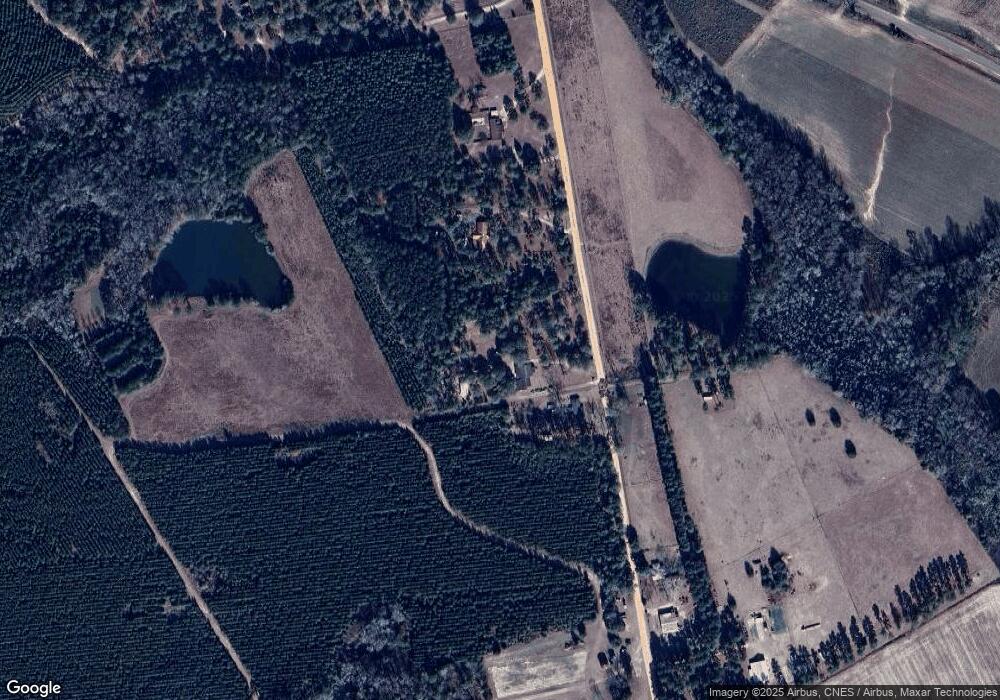
Map
Nearby Homes
- 0 S Fork Rd
- 372 Pye Rd
- 455 Best Bridge Rd
- 0 Honey Rd Unit 10510039
- 711 Scrub Oak Rd
- 731 Deer Run Rd
- 480 Best Bridge Rd
- 596 Arnett School Rd
- 0 Best Bridge Rd Unit 10585900
- 0 Best Bridge Rd Unit SA336787
- 736 Arnett School Rd
- 103 Live Oak Rd
- 208 Wildwood Dr
- 0 Industrial Park Rd Unit 19161353
- 611 W Ogeechee St
- 104 Wildwood St
- 0 Halcyondale Rd Unit SA331612
- 0 Halcyondale Rd Unit 10536056
- 112 Cail St
- 184 Sawgrass Rd
- 1677 S Fork Rd
- 1737 S Fork Rd
- 1520 S Fork Rd
- 1773 S Fork Rd
- 1620 S Fork Rd
- 1783 S Fork Rd
- 0 Goloid Church Unit 96279
- 0 Goloid Church Unit 3203817
- 0 Goloid Church Unit 8550076
- 1469 S Fork Rd
- 1468 S Fork Rd
- 317 Buck Rd
- 1442 S Fork Rd
- 1409 Goloid Church Rd
- 252 Buck Rd
- 0 Buck Rd Unit 8406535
- 0 Buck Rd Unit 7525711
- 0 Buck Rd
- 960 Goloid Church Rd
- 1414 Goloid Church Rd