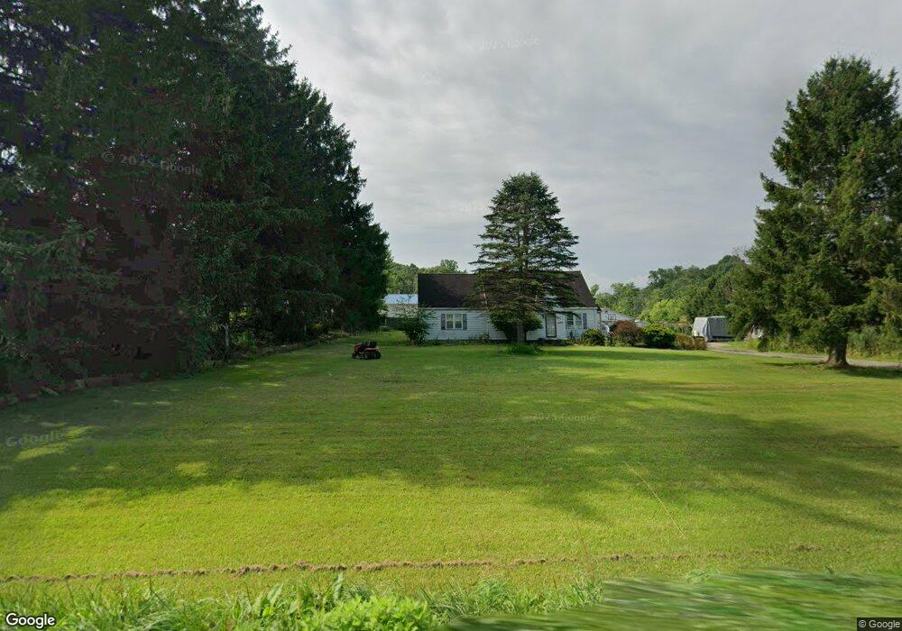
1705 State Route 56 Apollo, PA 15613
Kiskiminetas Township NeighborhoodEstimated Value: $175,000 - $241,000
3
Beds
2
Baths
1,938
Sq Ft
$104/Sq Ft
Est. Value
About This Home
This home is located at 1705 State Route 56, Apollo, PA 15613 and is currently estimated at $201,616, approximately $104 per square foot. 1705 State Route 56 is a home with nearby schools including Apollo-Ridge Elementary School, Apollo-Ridge Middle School, and Apollo-Ridge High School.
Ownership History
Date
Name
Owned For
Owner Type
Purchase Details
Closed on
Oct 17, 2024
Sold by
Jaworskyj Daniel E and Jaworskyj Brenda E
Bought by
Spring Church Holdings Llc
Current Estimated Value
Purchase Details
Closed on
Aug 26, 2002
Create a Home Valuation Report for This Property
The Home Valuation Report is an in-depth analysis detailing your home's value as well as a comparison with similar homes in the area
Home Values in the Area
Average Home Value in this Area
Purchase History
| Date | Buyer | Sale Price | Title Company |
|---|---|---|---|
| Spring Church Holdings Llc | -- | None Listed On Document | |
| -- | -- | -- |
Source: Public Records
Tax History Compared to Growth
Tax History
| Year | Tax Paid | Tax Assessment Tax Assessment Total Assessment is a certain percentage of the fair market value that is determined by local assessors to be the total taxable value of land and additions on the property. | Land | Improvement |
|---|---|---|---|---|
| 2025 | $3,937 | $41,130 | $24,710 | $16,420 |
| 2024 | $3,656 | $41,130 | $24,710 | $16,420 |
| 2023 | $3,121 | $41,130 | $24,710 | $16,420 |
| 2022 | $3,086 | $41,130 | $24,710 | $16,420 |
| 2021 | $3,033 | $41,130 | $24,710 | $16,420 |
| 2020 | $3,033 | $41,130 | $24,710 | $16,420 |
| 2019 | $3,015 | $41,130 | $24,710 | $16,420 |
| 2018 | $3,015 | $35,305 | $11,855 | $23,450 |
| 2017 | $2,997 | $41,130 | $24,710 | $16,420 |
| 2016 | $9,410 | $141,140 | $77,580 | $63,560 |
| 2015 | $6,044 | $141,140 | $77,580 | $63,560 |
| 2014 | $6,044 | $141,140 | $77,580 | $63,560 |
Source: Public Records
Map
Nearby Homes
- 28 Clark Ave
- 139 Maple Dr
- 0 Lutheran Church Rd
- 1677 Shady Plain Rd
- 000 Flat Rock Rd
- 1239 Old State Rd
- 604 Patterson Rd
- 4038 Pennsylvania 156
- 1212 Gravel Bar Rd
- 1116 Grant St
- 957 Cherry Lane Rd
- 214 and 214 1/2 Whittier St
- 129 Franklin Ave
- 1805 Moore Ave
- 247 Sherman Ave
- 712 16th St
- Lot A Guthrie Rd
- 2106 River Rd
- 121 Hamilton Ave
- 225 Mckinley Ave
- 1693 Pennsylvania 56
- 1691 State Route 56
- 1719 Pennsylvania 56
- 1714 State Route 56
- 1675 Pennsylvania 56
- 1676 Pennsylvania 56
- 155 Birch St
- 1211 Ridge Rd
- 1221 Ridge Rd
- 139 Birch St
- 146 Birch St
- 113 Elm St
- 1245 Ridge Rd
- 145 Birch St
- 1216 Ridge Rd
- 135 Birch St
- 154 Birch St
- 1241 Ridge Rd
- 156 Birch St
- 133 Birch St