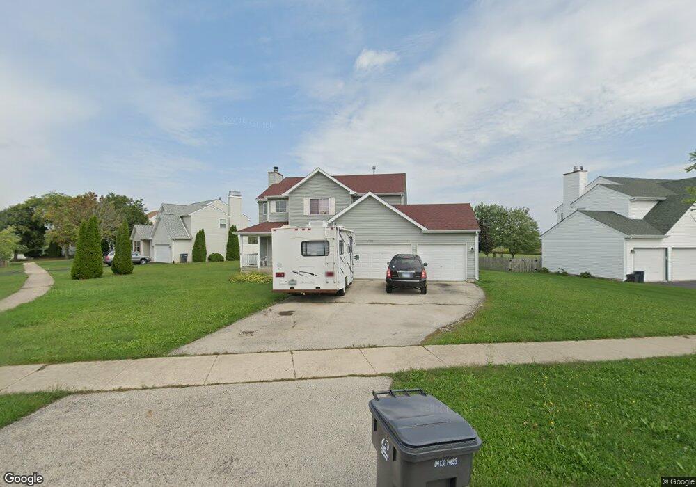
1705 Sunshine Ln Zion, IL 60099
West Zion NeighborhoodEstimated Value: $357,000 - $371,000
4
Beds
3
Baths
1,976
Sq Ft
$183/Sq Ft
Est. Value
About This Home
This home is located at 1705 Sunshine Ln, Zion, IL 60099 and is currently estimated at $362,443, approximately $183 per square foot. 1705 Sunshine Ln is a home located in Lake County with nearby schools including Kenneth Murphy School, Beach Park Middle School, and Zion-Benton Township High School.
Ownership History
Date
Name
Owned For
Owner Type
Purchase Details
Closed on
Aug 21, 1995
Sold by
J Maki Construction Company
Bought by
White Schubert Jeffrey M and White Schubert Laura Lee
Current Estimated Value
Home Financials for this Owner
Home Financials are based on the most recent Mortgage that was taken out on this home.
Original Mortgage
$173,808
Interest Rate
7.55%
Mortgage Type
Assumption
Purchase Details
Closed on
Apr 12, 1994
Sold by
Bank Of Waukegan
Bought by
J Maki Construction Co
Home Financials for this Owner
Home Financials are based on the most recent Mortgage that was taken out on this home.
Original Mortgage
$100,000
Interest Rate
7.88%
Create a Home Valuation Report for This Property
The Home Valuation Report is an in-depth analysis detailing your home's value as well as a comparison with similar homes in the area
Home Values in the Area
Average Home Value in this Area
Purchase History
| Date | Buyer | Sale Price | Title Company |
|---|---|---|---|
| White Schubert Jeffrey M | $170,500 | -- | |
| J Maki Construction Co | $30,000 | -- |
Source: Public Records
Mortgage History
| Date | Status | Borrower | Loan Amount |
|---|---|---|---|
| Closed | White Schubert Jeffrey M | $173,808 | |
| Previous Owner | J Maki Construction Co | $100,000 |
Source: Public Records
Tax History Compared to Growth
Tax History
| Year | Tax Paid | Tax Assessment Tax Assessment Total Assessment is a certain percentage of the fair market value that is determined by local assessors to be the total taxable value of land and additions on the property. | Land | Improvement |
|---|---|---|---|---|
| 2024 | $8,068 | $94,985 | $16,112 | $78,873 |
| 2023 | $8,711 | $79,146 | $13,425 | $65,721 |
| 2022 | $8,711 | $77,766 | $11,022 | $66,744 |
| 2021 | $8,541 | $72,952 | $10,340 | $62,612 |
| 2020 | $7,837 | $68,615 | $9,725 | $58,890 |
| 2019 | $7,555 | $63,917 | $9,059 | $54,858 |
| 2018 | $7,762 | $58,154 | $8,240 | $49,914 |
| 2017 | $7,802 | $53,946 | $7,644 | $46,302 |
| 2016 | $7,231 | $48,971 | $6,939 | $42,032 |
| 2015 | $6,938 | $44,434 | $6,296 | $38,138 |
| 2014 | $6,213 | $41,323 | $5,856 | $35,467 |
| 2012 | $6,716 | $44,007 | $6,236 | $37,771 |
Source: Public Records
Map
Nearby Homes
- 4539 Illinois 173
- 1524 Anderson Trail
- 4533 Illinois 173
- 41320 N Green Bay Rd
- 2010 Sunset Ct
- 4013 Ridge Rd
- 1302 Lorelei Dr
- 42334 N Heritage Lot 7 Trail
- 3717 Willow Crest Dr
- 1210 Lorelei Dr
- 12434 W Van Ct
- 4109 Sarah Dr
- 2407 Phillip Dr
- 2414 Phillip Dr
- 1304 Pelican Ct
- 2407 Miriam Ave
- 2413 Michael Ave
- 908 Countrywood Dr
- 1531 Southport Ct
- 1521 Southport Ct