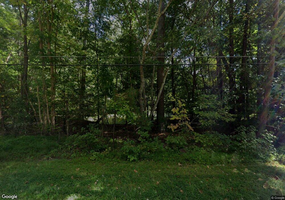
1705 Umstead Rd Durham, NC 27712
North Durham NeighborhoodEstimated Value: $260,000 - $413,000
3
Beds
1
Bath
1,144
Sq Ft
$297/Sq Ft
Est. Value
About This Home
This home is located at 1705 Umstead Rd, Durham, NC 27712 and is currently estimated at $339,896, approximately $297 per square foot. 1705 Umstead Rd is a home located in Durham County with nearby schools including Hillandale Elementary School, George L Carrington Middle, and Riverside High School.
Ownership History
Date
Name
Owned For
Owner Type
Purchase Details
Closed on
May 27, 2016
Sold by
Dunnagan Edith M
Bought by
Krohn Holly Amber
Current Estimated Value
Home Financials for this Owner
Home Financials are based on the most recent Mortgage that was taken out on this home.
Original Mortgage
$4,132
Outstanding Balance
$3,272
Interest Rate
3.58%
Mortgage Type
New Conventional
Estimated Equity
$336,624
Create a Home Valuation Report for This Property
The Home Valuation Report is an in-depth analysis detailing your home's value as well as a comparison with similar homes in the area
Home Values in the Area
Average Home Value in this Area
Purchase History
| Date | Buyer | Sale Price | Title Company |
|---|---|---|---|
| Krohn Holly Amber | $143,000 | -- |
Source: Public Records
Mortgage History
| Date | Status | Borrower | Loan Amount |
|---|---|---|---|
| Open | Krohn Holly Amber | $4,132 | |
| Open | Krohn Holly Amber | $137,740 |
Source: Public Records
Tax History
| Year | Tax Paid | Tax Assessment Tax Assessment Total Assessment is a certain percentage of the fair market value that is determined by local assessors to be the total taxable value of land and additions on the property. | Land | Improvement |
|---|---|---|---|---|
| 2025 | $2,832 | $285,682 | $174,000 | $111,682 |
| 2024 | $2,000 | $143,396 | $58,719 | $84,677 |
| 2023 | $1,878 | $143,396 | $58,719 | $84,677 |
| 2022 | $1,835 | $143,396 | $58,719 | $84,677 |
| 2021 | $1,827 | $143,396 | $58,719 | $84,677 |
| 2020 | $1,784 | $143,396 | $58,719 | $84,677 |
| 2019 | $1,784 | $143,396 | $58,719 | $84,677 |
| 2018 | $1,652 | $121,753 | $54,390 | $67,363 |
| 2017 | $1,639 | $121,753 | $54,390 | $67,363 |
| 2016 | $1,584 | $121,753 | $54,390 | $67,363 |
| 2015 | $1,160 | $83,788 | $41,155 | $42,633 |
| 2014 | $1,160 | $83,788 | $41,155 | $42,633 |
Source: Public Records
Map
Nearby Homes
- 9 Otters Run
- 1113 Umstead Grove Way
- 1708 Mystic Dr
- 1011 Umstead Rd
- 1013 Umstead Rd
- 411 Latta Cir
- 2222 Umstead Rd
- 405 Latta Rd
- 109 November Dr
- 111 November Dr
- 5022 Green Oak Dr
- 1621 Bramble Dr
- 5005 Gatewood Dr
- 5018 Gatewood Dr
- 5803 Lillie Dr
- 4518 Paces Ferry Dr
- 3026 Rosebriar Dr
- 7 Starwood Ln
- 337 Latta Rd
- 1310 Bramble Dr
- 4905 Heritage Dr
- 4909 Heritage Dr
- 4901 Heritage Dr
- 4913 Heritage Dr
- 1721 Umstead Rd
- 4821 Heritage Dr
- 4917 Heritage Dr
- 1 Brookwood Ct
- 4817 Heritage Dr
- 4813 Heritage Dr
- 4910 Heritage Dr
- 4900 Heritage Dr
- 5005 Heritage Dr
- 4914 Heritage Dr
- 4822 Heritage Dr
- 1803 Umstead Rd
- 1802 Umstead Rd
- 3 Brookwood Ct
- 1703 Umstead Rd
- 4918 Heritage Dr
