17050 Kane Rd Stockbridge, MI 49285
Estimated Value: $291,000 - $407,000
3
Beds
2
Baths
2,400
Sq Ft
$150/Sq Ft
Est. Value
About This Home
This home is located at 17050 Kane Rd, Stockbridge, MI 49285 and is currently estimated at $359,908, approximately $149 per square foot. 17050 Kane Rd is a home located in Ingham County with nearby schools including Emma Smith Elementary School, Heritage School, and Stockbridge High School.
Ownership History
Date
Name
Owned For
Owner Type
Purchase Details
Closed on
Jun 10, 2010
Sold by
Gyulveszi Todd and Gyulveszi Jane
Bought by
Zatkovich Daniel and Zatkovich Leanne
Current Estimated Value
Home Financials for this Owner
Home Financials are based on the most recent Mortgage that was taken out on this home.
Original Mortgage
$177,608
Outstanding Balance
$120,657
Interest Rate
5.25%
Mortgage Type
FHA
Estimated Equity
$239,251
Create a Home Valuation Report for This Property
The Home Valuation Report is an in-depth analysis detailing your home's value as well as a comparison with similar homes in the area
Home Values in the Area
Average Home Value in this Area
Purchase History
| Date | Buyer | Sale Price | Title Company |
|---|---|---|---|
| Zatkovich Daniel | $180,000 | Tri Title Agency Llc |
Source: Public Records
Mortgage History
| Date | Status | Borrower | Loan Amount |
|---|---|---|---|
| Open | Zatkovich Daniel | $177,608 |
Source: Public Records
Tax History Compared to Growth
Tax History
| Year | Tax Paid | Tax Assessment Tax Assessment Total Assessment is a certain percentage of the fair market value that is determined by local assessors to be the total taxable value of land and additions on the property. | Land | Improvement |
|---|---|---|---|---|
| 2025 | $3,714 | $179,300 | $35,900 | $143,400 |
| 2024 | $3,490 | $177,900 | $34,400 | $143,500 |
| 2023 | $3,490 | $167,600 | $33,400 | $134,200 |
| 2022 | $3,324 | $147,600 | $31,800 | $115,800 |
| 2021 | $3,277 | $140,200 | $0 | $0 |
| 2020 | $3,400 | $135,300 | $0 | $0 |
| 2019 | $3,132 | $117,900 | $32,500 | $85,400 |
| 2018 | $3,106 | $104,600 | $29,700 | $74,900 |
| 2017 | $2,914 | $104,600 | $29,700 | $74,900 |
| 2016 | -- | $104,200 | $29,700 | $74,500 |
| 2015 | -- | $97,700 | $59,360 | $38,340 |
| 2014 | -- | $84,350 | $56,440 | $27,910 |
Source: Public Records
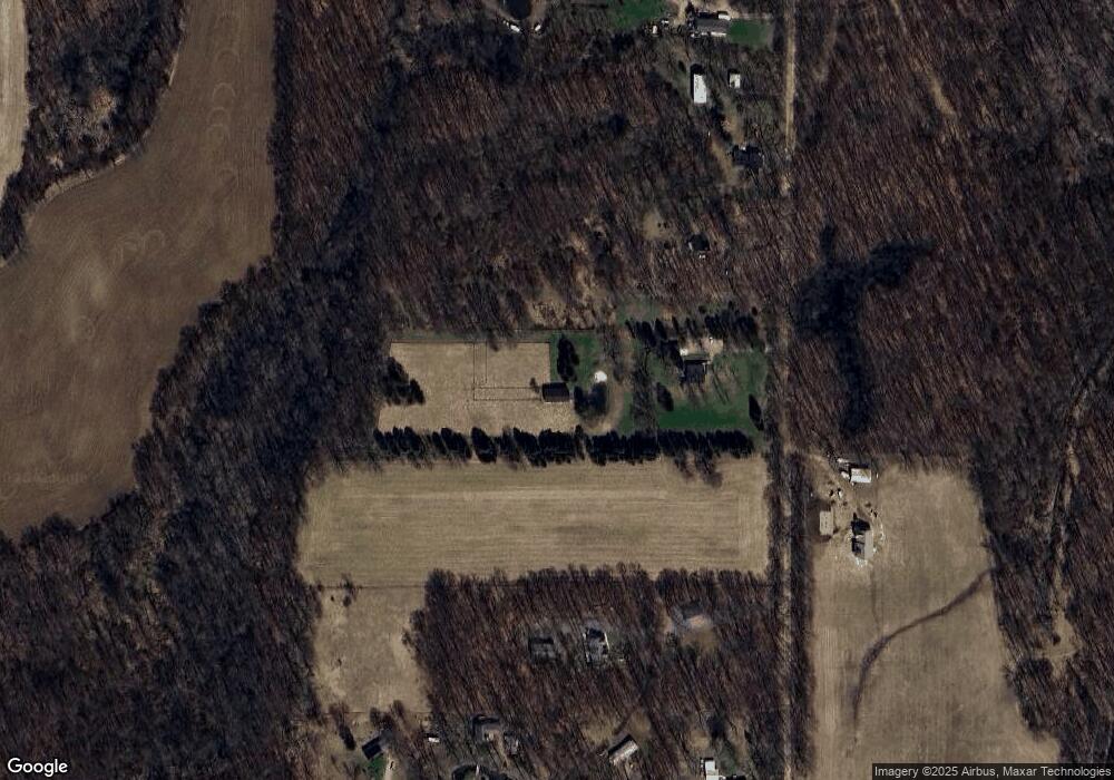
Map
Nearby Homes
- 5367 E M 36
- 4510 Milner Rd
- 5001 Dexter Trail
- 11247 Roberts Rd
- 5675 Iosco Mountain Rd
- 4489 E M 36
- 9855 Iosco Ridge Dr
- 9758 Iosco Ridge Dr
- 2855 Oakley Rd
- 9810 Iosco Ridge Dr
- 5663 Iosco Mountain Rd
- 4100 N Main St
- 4005 Eastbridge Rd
- 4012 Eastbridge Rd
- 4059 Eastbridge Rd
- 4057 Eastbridge Rd
- 4053 Eastbridge Rd
- 2980 Budd Rd
- 4219 Cattle Dr
- 2977 Oakley Rd
- 17060 Kane Rd
- 17100 Kane Rd
- 17024 Kane Rd
- 17120 Kane Rd
- 17010 Kane Rd S
- 17010 Kane Rd
- 16980 Kane Rd
- 17117 Kane Rd
- 16978 Kane Rd
- 18010 Kane Rd
- 3101 Kane Rd
- 3105 Kane Rd
- 3105 Kane Rd
- 16393 Mi State Road 36
- 16379 W Michigan 36
- 16379 E M 36
- 0 E M-36 Unit 28101962
- 0 E M-36 Unit 218043412
- 0 E M-36 Unit R214062156
- 0 E M-36 Unit R219034380