Estimated Value: $803,000 - $986,000
3
Beds
2
Baths
1,948
Sq Ft
$446/Sq Ft
Est. Value
About This Home
This home is located at 17051 Upland Dr, Bend, OR 97707 and is currently estimated at $868,879, approximately $446 per square foot. 17051 Upland Dr is a home located in Deschutes County with nearby schools including Elk Meadow Elementary School, Cascade Middle School, and Summit High School.
Ownership History
Date
Name
Owned For
Owner Type
Purchase Details
Closed on
Oct 28, 2014
Sold by
Russell Rick A and Russell Melody A
Bought by
Ballreich Bryan and Bryan Ballreich Revocable Trust
Current Estimated Value
Purchase Details
Closed on
Aug 11, 2006
Sold by
Ronnie Michael Craig and Ronnie Constance
Bought by
Russell Rick A and Russell Melody A
Home Financials for this Owner
Home Financials are based on the most recent Mortgage that was taken out on this home.
Original Mortgage
$520,000
Interest Rate
7.23%
Mortgage Type
Unknown
Purchase Details
Closed on
Dec 3, 2004
Sold by
France Nancy L
Bought by
Constance Ronnie Michael Craig and Constance Ronnie
Purchase Details
Closed on
Oct 1, 2004
Sold by
Curtis Carol T
Bought by
France Nancy L
Home Financials for this Owner
Home Financials are based on the most recent Mortgage that was taken out on this home.
Original Mortgage
$340,000
Interest Rate
3.87%
Mortgage Type
Unknown
Create a Home Valuation Report for This Property
The Home Valuation Report is an in-depth analysis detailing your home's value as well as a comparison with similar homes in the area
Home Values in the Area
Average Home Value in this Area
Purchase History
| Date | Buyer | Sale Price | Title Company |
|---|---|---|---|
| Ballreich Bryan | $530,000 | First American Title | |
| Russell Rick A | $650,000 | Amerititle | |
| Constance Ronnie Michael Craig | -- | -- | |
| France Nancy L | $425,000 | First Amer Title Ins Co Or |
Source: Public Records
Mortgage History
| Date | Status | Borrower | Loan Amount |
|---|---|---|---|
| Previous Owner | Russell Rick A | $520,000 | |
| Previous Owner | France Nancy L | $340,000 |
Source: Public Records
Tax History Compared to Growth
Tax History
| Year | Tax Paid | Tax Assessment Tax Assessment Total Assessment is a certain percentage of the fair market value that is determined by local assessors to be the total taxable value of land and additions on the property. | Land | Improvement |
|---|---|---|---|---|
| 2025 | $5,840 | $318,920 | -- | -- |
| 2024 | $5,604 | $309,640 | -- | -- |
| 2023 | $5,475 | $300,630 | $0 | $0 |
| 2022 | $4,893 | $283,380 | $0 | $0 |
| 2021 | $4,920 | $275,130 | $0 | $0 |
| 2020 | $4,672 | $275,130 | $0 | $0 |
| 2019 | $4,541 | $267,120 | $0 | $0 |
| 2018 | $4,410 | $259,340 | $0 | $0 |
| 2017 | $4,294 | $251,790 | $0 | $0 |
| 2016 | $4,098 | $244,460 | $0 | $0 |
| 2015 | $3,995 | $237,340 | $0 | $0 |
| 2014 | $3,872 | $230,430 | $0 | $0 |
Source: Public Records
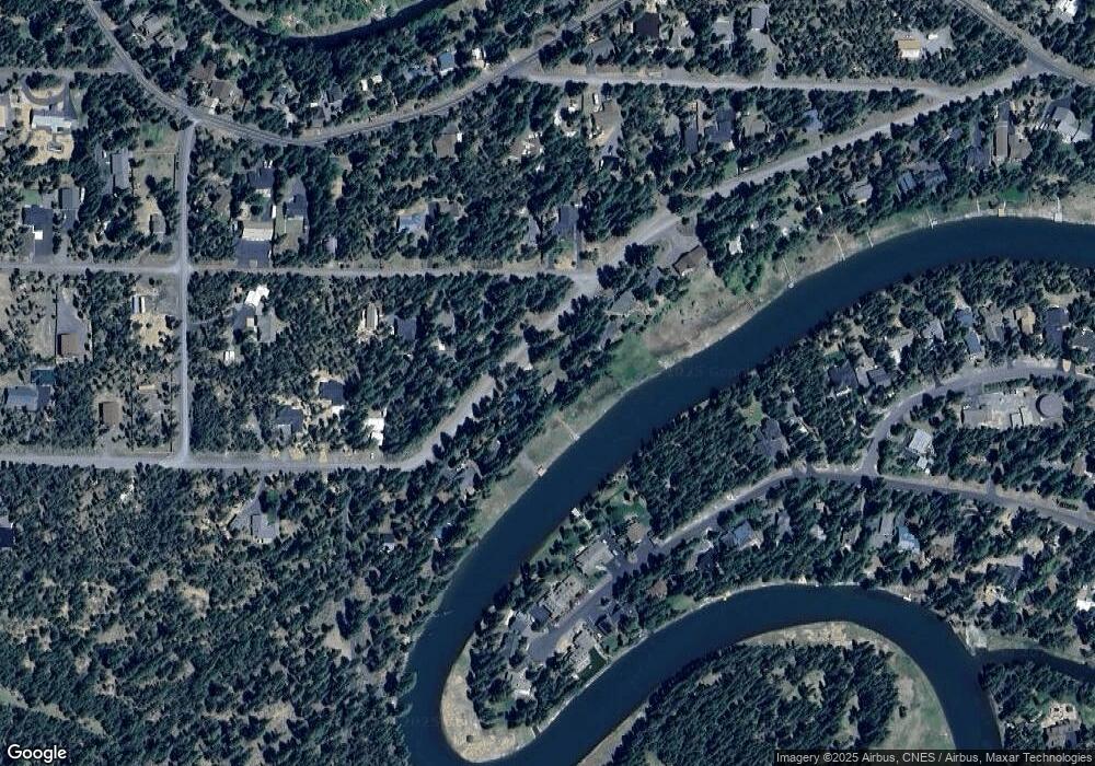
Map
Nearby Homes
- 16927 Upland Rd
- 17004 Milky Way
- 16932 Upland Rd
- 16923 Torrance Rd
- 17183 Blue Heron Dr
- 17092 Island Loop Way
- 55975 Savage Rd
- 56019 Snow Goose Rd
- 55853 Osprey Rd
- 17731 Everwild Cir Unit 456
- 17875 Preservation Loop Unit 422
- 55995 Browning Dr Unit 16
- 55970 Browning Dr
- 56081 Snow Goose Ct
- 56084 Snow Goose Ct
- 17135 Merced Rd Unit 6
- 17281 Merganser Dr
- 56078 Snow Goose Rd
- 16810 Derringer Dr
- 17049 Laguna Rd
- 17051 Upland Rd
- 17049 Upland Rd
- 16999 Upland Rd
- 16980 Upland Rd
- 16940 Upland Rd
- 16983 Upland Rd
- 17057 Upland Rd
- 9 Upland Rd
- 16905 Upland Rd
- 17061 Upland Rd
- 17047 Torrance Rd
- 17067 Upland Rd
- 17035 Upland Rd
- 17033 Torrance
- 17064 Blue Heron Dr
- 17032 Upland Rd
- 17066 Blue Heron Dr
- 17071 Upland Rd
- 17068 Blue Heron Dr
- 17062 Blue Heron Dr